11 October 2026
Areas of early low cloud otherwise fine. Isolated afternoon showers, mainly about the foothills. Northeasterlies, then northwesterly from afternoon but light winds south of Rakaia River then becoming southerly there at night.
Loading outdoor place details…
Mount Thomas Forest Conservation Area
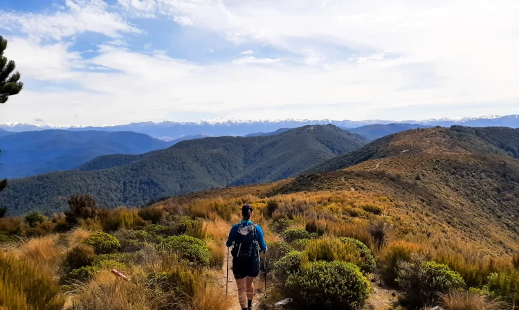
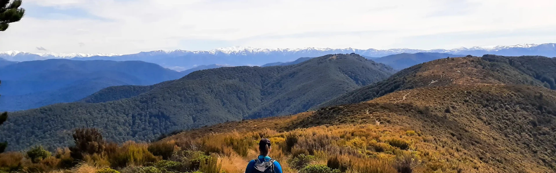
Enjoy sweeping panoramic views of the Canterbury Plains, Banks Peninsula and the Southern Alps/Kā Tiritiri o te Moana from Mt Thomas (1023 m).
Distance
11.13 km
Walking time
5 - 6 hours return
Difficulty
Advanced
Dogs
On-lead only
Wheelchair access
Not marked friendly
Current status
Weather outlook
Issued 10 Oct 2026, 11:01 pm
11 October 2026
Areas of early low cloud otherwise fine. Isolated afternoon showers, mainly about the foothills. Northeasterlies, then northwesterly from afternoon but light winds south of Rakaia River then becoming southerly there at night.
12 October 2026
Fine. Northeasterlies developing for a time in the afternoon and evening.
13 October 2026
Fine. Northwesterlies.
14 October 2026
Rain, easing in the evening. Light winds.
15 October 2026
Rain developing. Southerlies developing.
Regional guidance only; elevation and terrain can produce different conditions.
Explore the area
Explore the track route and surrounding area before you set out.
This track officially begins about 800m up Smiths Road, a forestry road which is located on the campground side of the Wooded Gully picnic area and car park. After reaching a locked gate, sporadic DOC orange markers guide the way until you see the track start on the right. The track continues along forestry roads before entering beech forest after about 3km. It then continues upwards until the Bob’s Camp/Ridge Track junction where the signs will instruct you eastwards along the ridge to the summit of Mount Thomas. The ridgeline to the summit is wide but exposed to the elements and can be muddy in places. The summit offers beautiful views of the Canterbury Plains and the Southern Alps making the earlier gruelling uphill worth it. The Ridge Track is 7.5km to the summit with around 1000m of elevation gain. It's 15km return, taking around 6-7 hours, or 11.1km when linked with Summit Track as a loop walk taking 5-6 hours.
Amenities There are toilets at the campground close to the car park. Once you are on the track, there are no more amenities. Be aware Wasps can be a problem during summer months Areas of the Wooded Gully Track can be muddy Ridge Track frequently gets eroded following storms There are many options to combine trails in this area to create longer walking loops
Wooded Gully is a pleasant little campsite, very popular with dog owners, at the starting point for these tracks. For an overnight walk, consider heading to Bob's Camp Bivouac , which is a cute 2-bunk bivvy via Bob's Camp Route which begins from the top of Ridge Track, but can also be accessed via Wooded Gully or Summit Tracks .
The track starts from the Wooded Gully camping area at the end of Hayland Road. Start off by taking Smiths Road 4WD track at the western end of the campsite. Use this location in Google maps to find your way to Wooded Gully Campsite
We encourage you to continue gaining the skills and knowledge required for a safe trip. The NZ Mountain Safety Council has lots of free resources and information you can use. These can be accessed via www.mountainsafety.org.nz . Level up in your outdoor knowledge with these interactive online learning tools: Trip Planning Tramping / field Skills Basic Navigation River Safety Additionally, check out the range of helpful videos available from the NZ Mountain Safety Council YouTube channel .
Dogs on a leash only.
Track information, access and weather can change. Confirm current alerts and land-manager information close to departure, tell someone your plans, and carry equipment appropriate for the route and conditions.