8 October 2026
Low cloud moving in with patchy drizzle.
Loading outdoor place details…
Tararua Forest Park
This track links Neill Forks Hut with the Maungahuka Summit, via Concertina Knob.
Distance
3.8 km
Walking time
4 hr
Difficulty
Advanced
Dogs
Allowed — check local rules
Wheelchair access
Not marked friendly
Current status
Weather outlook
Issued 8 Oct 2026, 9:24 pm
8 October 2026
Low cloud moving in with patchy drizzle.
9 October 2026
Cloudy, low with patchy drizzle in the east, but lifting for a time in the afternoon and evening.
10 October 2026
Cloudy with occasional showers, drizzly in the east in the morning.
11 October 2026
A few showers.
12 October 2026
Fine apart from isolated showers.
Regional guidance only; elevation and terrain can produce different conditions.
Explore the area
Explore the track route and surrounding area before you set out.
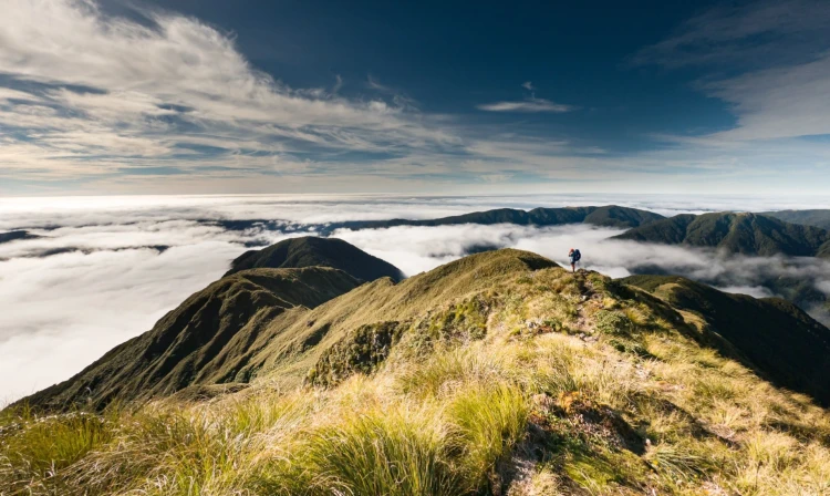
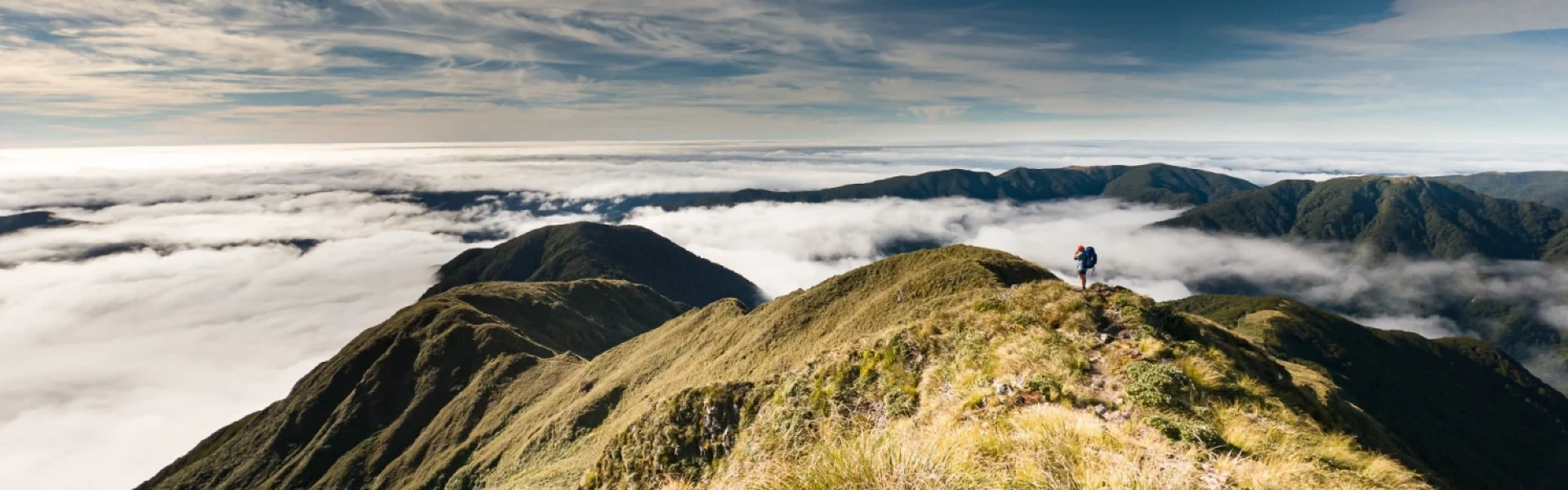
The track to Maungahuka Hut begins at Neill Forks Hut , where Neill Creek meets the Hector River. After crossing a bridge over the Hector River, the track climbs steeply to Concertina Knob (1106 m). This is a rough, unformed route, requiring scrambles up tree roots on steep and often slippery terrain. From Concertina Knob, the track descends before climbing again toward Maungahuka. It emerges above the bush line, following the ridge to the Maungahuka summit (1330 m) on the main Tararua Range. At the summit, a track junction offers two options: a short, poled route north to Maungahuka Hut or a continuation across the Tararua Peaks toward Kime Hut . Maungahuka Hut sits beside a small tarn and offers spectacular views in good weather. This is a rough, backcountry track and people have got lost on it. Follow the markers carefully to make sure you are staying on the track.
Stay on Track : The trail can be challenging, and getting lost is possible, especially when heading downhill. Follow the markers diligently to ensure you stay on the right path. Pack Emergency Supplies : As a precaution, always carry a distress beacon and pack essential emergency supplies. Include items such as an emergency shelter, spare food and water, warm clothing, a torch (with spare batteries), and other necessities for an unexpected overnight stay. Weather Awareness : Be mindful of the weather conditions, especially on the Tararua tops where extreme weather is common. If the weather worsens, consider staying in the shelter of a hut rather than venturing above the bush line. Assess the weather before proceeding beyond the bush line and be prepared to turn back if necessary.
You can begin this track at Maungahuka summit or Neil Forks Hut .
We encourage you to continue gaining the skills and knowledge required for a safe trip. The NZ Mountain Safety Council has lots of free resources and information you can use. These can be accessed via www.mountainsafety.org.nz . Level up in your outdoor knowledge with these interactive online learning tools: Trip Planning Tramping / field Skills Basic Navigation River Safety Additionally, check out the range of helpful videos available from the NZ Mountain Safety Council YouTube channel .
Dogs allowed. Keep dog under control at all times.
Track information, access and weather can change. Confirm current alerts and land-manager information close to departure, tell someone your plans, and carry equipment appropriate for the route and conditions.