10 October 2026
Cloudy periods with the odd shower, mainly about the ranges. Northerlies.
Loading outdoor place details…
Whakatāne
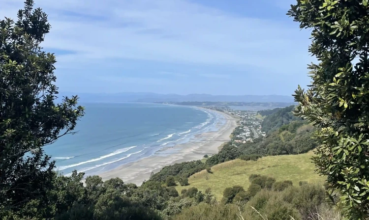
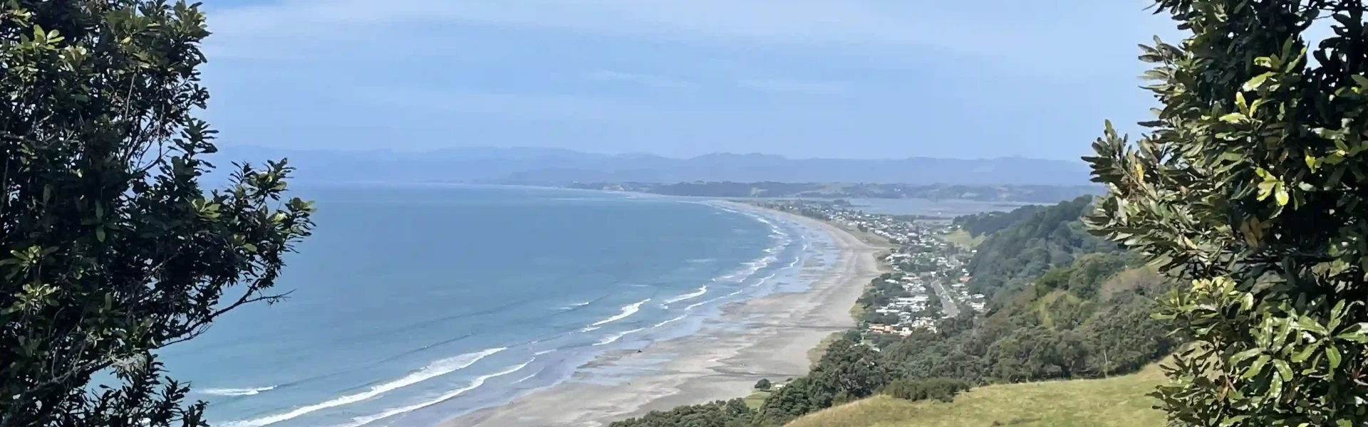
Ngā Tapuwae o Toi, or the 'Footprints of Toi', is a walking trail that captures the essence of the Whakatāne District. It includes pa sites of major historic significance, superb native forest, spectacular pohutukawa stands, unsurpassed coastal views, seabird colonies, forest birds in abundance, plantation forest and rural vistas.
Distance
17 km
Walking time
5-7 hours for the full loop
Difficulty
Intermediate
Dogs
Not allowed
Wheelchair access
Not marked friendly
Current status
No active alerts found. Conditions can still change, so check again before leaving.
Weather outlook
Issued 10 Oct 2026, 4:55 pm
10 October 2026
Cloudy periods with the odd shower, mainly about the ranges. Northerlies.
11 October 2026
Showers, possibly heavy, clearing in the afternoon with increasing fine spells. Periods of rain developing west of Tauranga late evening. Northerlies, turning westerly in the afternoon.
12 October 2026
A few showers. Northwesterlies developing for a time in the afternoon.
13 October 2026
Partly cloudy, with isolated showers clearing in the evening. Northwesterlies developing in the morning.
14 October 2026
Mostly cloudy with a few showers developing in the morning. Northwesterlies developing in the morning.
Regional guidance only; elevation and terrain can produce different conditions.
Explore the area
Explore the track route and surrounding area before you set out.
The following description assumes you start from Rex Morpeth Park and run in a clockwise direction. From the park, head down Commerce Street for 1km, turn right onto Canning Place and after another 75m go up the steps to Hillcrest road. Promptly cross the road to Seaview road, and after 100m the track heads off on the left. You now have a grunt of a climb on the Kohi Point track. At the top, take the 100m detour to check out Kapu-te-Rangi - see if you can spot Whakaari (White Island), Putauaki (Mt Edgecumbe), and Mt Tarawera. The track now heads around the point to Otarawairere Beach and Ohope. It's up and down the whole way, with some steep steps and stunning coastal views. Otarawairere is easy at low tide, but high tide forces you higher on the rocks so is more technical. More steps, then you're at Ohope Beach's west end - halfway! Run on the beach for 1km, cut up at the surf club, and cross the main road (Pohutukawa Ave/Ohope road) onto the Fairbrother loop walk. The track forks after about 100m, both options are pretty climbs, though the left fork is a bit less steep and has some mighty pohutukawa. The two tracks rejoin at the top of the hill. You now run a heavily forested ridge, crossing historic Burma road on the way. It's again up and down all the way. Midway back to Whakatane you cross briefly over forestry road, follow the Tois marker discs and you're soon back into forest. After a steep descent there's another track fork, if you're knackered, turn right for a shortcut to White Horse Drive and Gorge Road. Otherwise, to complete the full loop, take a sharp turn left. There's another solid climb, a long descent, then the track pops out of the forest at the bottom of Gorge Road. Run roadside for 100m then take the track under the road bridge to get back to Rex Morpeth Park. The road from Whakatane to Ohope is only 6km with a good roadside path all the way, so if you wish, it's easy to break Nga Tapuwae o Toi into shorter loops, still returning to your start point. For more distance, add a full circuit of the Fairbrother loop in Ohope, or even add in Burma Road and Maraetotara Road, which takes your full effort to about 25km. --- Content provided by Jim Robinson at Motu Trails
NullNull
There are many possible start points, but the best options are from West End, Ohope; and from Rex Morpeth Park, Whakatane. Both these points have toilets, water, ample parking, and stuff for other family members to do while you run. Transport and parking: Car parking at both of the above points is urban and safe. The only local bus service is Bay Hopper, http://www.baybus.co.nz/eastern-bay/whakatane/ You can fly to Whakatane on Air Chathams, http://www.airchathams.co.nz/ Distance from Whakatane: 1 km Driving time from Whakatane: 2 minutes
Whakatāne District Council This track is part of the Herenga ā Nuku Aotearoa track database. Herenga ā Nuku has maps and advice about public access to the outdoors . We encourage you to continue gaining the skills and knowledge required for a safe trip. The NZ Mountain Safety Council has lots of free resources and information you can use. You can access them at www.mountainsafety.org.nz . We recommend trying these online learning tools: Trip Planning Tramping/field Skills Basic Navigation River Safety Additionally, check out the range of helpful videos available from the NZ Mountain Safety Council YouTube channel .
Track information, access and weather can change. Confirm current alerts and land-manager information close to departure, tell someone your plans, and carry equipment appropriate for the route and conditions.