09 October 2026
Fine, then low cloud or fog at night. Southerlies dying out early evening.
8° / 20°
Loading outdoor place details…
Invercargill area
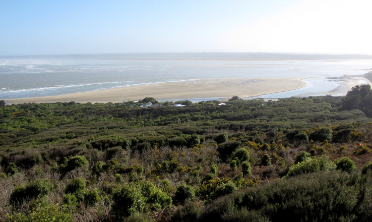
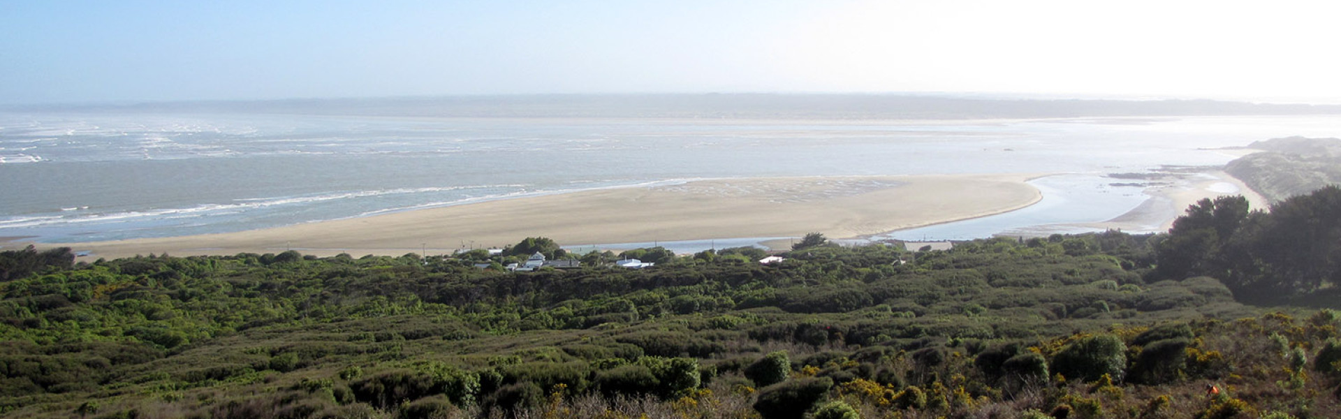
A loop track through regenerating coastal bush takes you past an elevated lookout platform. Enjoy the panoramic views over the Invercargill Estuary and Sandy Point towards the Takitimu Range on the horizon.
Distance
1.49 km
Walking time
30 minutes
Difficulty
Easy
Dogs
Allowed — check local rules
Wheelchair access
Not marked friendly
Current status
No active alerts found. Conditions can still change, so check again before leaving.
Weather outlook
Issued 9 Oct 2026, 7:36 pm
09 October 2026
Fine, then low cloud or fog at night. Southerlies dying out early evening.
8° / 20°
10 October 2026
Low cloud or fog in the morning and again at night, otherwise partly cloudy with the odd shower. Easterlies for a time in the afternoon.
9° / 20°
11 October 2026
Fine, but becoming cloudy in the evening. Northerlies, turning southwesterly in the afternoon.
8° / 21°
12 October 2026
Fine. Northwesterlies developing in the morning.
10° / 22°
13 October 2026
A few showers becoming widespread in the afternoon. Northwesterlies, dying out in the evening.
7° / 19°
Regional guidance only; elevation and terrain can produce different conditions.
Explore the area
Explore the track route and surrounding area before you set out.
This loop track, which leads up through regenerating coastal bush, takes you to a lookout platform with views over the Invercargill Estuary and Sandy Point towards the Takitimu Range on the horizon. Below, the township of Omaui was originally a small Maori fishing village and is recognised by Ngai Tahu ki Murihiku as one of the most important sites in Southland. Omaui was named after their ancestor Maui Tikitiki. The village was handy to forests and the coast where trees, birds, flax, medicines, seafood and stone resources were gathered. Omaui Reserve and t he adjacent Omaui Scenic Reserve now make up the largest tract of bush in Invercargill City.
Take State Highway 1 south towards Bluff and turn right onto Omaui Road at Greenhills. Follow this road until you reach the Omaui settlement. Omaui Reserve is at the far end of the settlement at the end of the road. Use this location in Google Maps to find your way there.
Omaui Reserve More information about Omaui Reserve can be found on the Invercargill City Council website Resources to help you plan your trip We encourage you to continue gaining the skills and knowledge required for a safe trip. The NZ Mountain Safety Council has lots of free resources and information you can use. These can be accessed via www.mountainsafety.org.nz . We recommend trying these online learning tools: Trip Planning Tramping / field Skills Basic Navigation River Safety Additionally, check out the range of helpful videos available from the NZ Mountain Safety Council YouTube channel .
Dogs are required to be on a lead
Track information, access and weather can change. Confirm current alerts and land-manager information close to departure, tell someone your plans, and carry equipment appropriate for the route and conditions.