10 October 2026
Scattered showers, possibly heavy and thundery with hail, easing this evening.
Loading outdoor place details…
Geraldine area
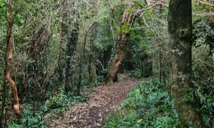
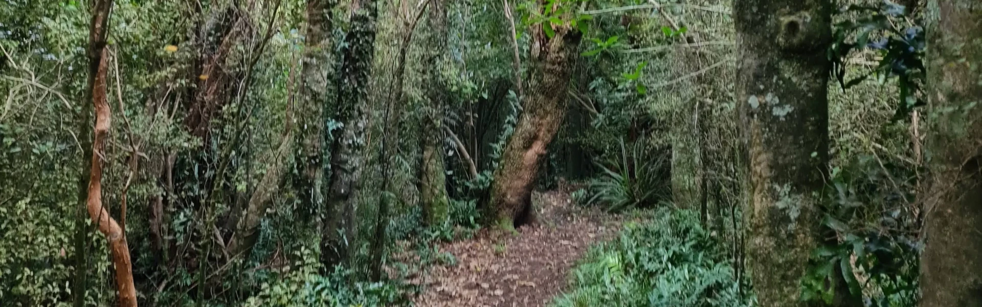
This circular walk passes through regenerating forest with some large tōtara, kahikatea and mataī.
Distance
3.3 km
Walking time
1 hr 30 min
Difficulty
Easy
Dogs
Not allowed
Wheelchair access
Not marked friendly
Current status
Weather outlook
Issued 10 Oct 2026, 9:23 pm
10 October 2026
Scattered showers, possibly heavy and thundery with hail, easing this evening.
11 October 2026
Showers about the Divide, clearing in the evening, otherwise fine.
12 October 2026
Fine.
13 October 2026
Partly cloudy with isolated showers.
14 October 2026
Rain, with heavy falls.
Regional guidance only; elevation and terrain can produce different conditions.
Explore the area
Explore the track route and surrounding area before you set out.
The track initially follows an old bush tramway, which was used to extract logs. Continue straight on though a mosaic of regenerating trees before climbing to an open highpoint. The return leg is through bush with some extensive stands of kānuka. Turn right at the track junction back to the car park. The track is steep in places and the surface maybe slippery following rain. Muddy sections may be present.
The Orari Gorge Scenic Reserve 15 km from Geraldine. It is opposite the Glenburn Youth Camp on Yates Rd. Take Main North Rd (72) 4.5 km out of Geraldine and turn left on Tripp Settlement Rd. Follow this for 7.5 km before turning left onto Yates Rd. Use this location on Google Maps to help find your way there.
We encourage you to continue gaining the skills and knowledge required for a safe trip. The NZ Mountain Safety Council has lots of free resources and information you can use. These can be accessed via www.mountainsafety.org.nz . We recommend trying these online learning tools: Trip Planning Tramping / field Skills Basic Navigation River Safety Additionally, check out the range of helpful videos available from the NZ Mountain Safety Council YouTube channel
No dogs.
Track information, access and weather can change. Confirm current alerts and land-manager information close to departure, tell someone your plans, and carry equipment appropriate for the route and conditions.