8 October 2026
Partly cloudy. Isolated showers in the afternoon and evening.
Loading outdoor place details…
Wanaka area
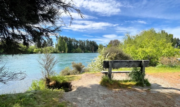
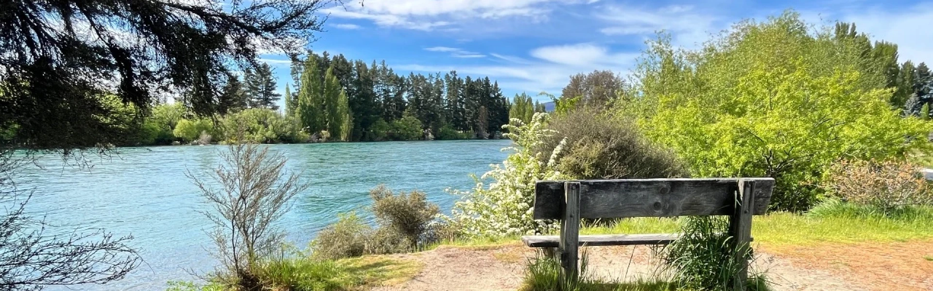
A picturesque riverside walk along the Clutha River/Mata-Au. This track is part of Te Araroa Trail.
Distance
3 km
Walking time
45 min one way
Difficulty
Easiest
Dogs
Allowed — check local rules
Wheelchair access
Not marked friendly
Current status
No active alerts found. Conditions can still change, so check again before leaving.
Weather outlook
Issued 8 Oct 2026, 7:33 am
8 October 2026
Partly cloudy. Isolated showers in the afternoon and evening.
9 October 2026
Cloud about the terrain lifting in the morning, then returning in the evening. Isolated afternoon and evening showers.
10 October 2026
Partly cloudy with isolated showers.
11 October 2026
Partly cloudy.
12 October 2026
Fine.
Regional guidance only; elevation and terrain can produce different conditions.
Explore the area
Explore the track route and surrounding area before you set out.
From the carpark at the bottom of Gunn Road the track starts to the left. It undulates through forest, bush and open areas along the true right of the Clutha River bank. The track is used for walking, running and cycling. The track surface varies between forest floor with some rocky sections and some sandy areas close to the Lake Wanaka outlet.
The track is narrow at times. Be mindful of other users. There are toilets along the way Dogs are allowed under control Easy mountain biking: Grade 2
From Wanaka town centre , head northeast on Ardmore St, at the roundabout, take the first exit onto Lakeside Rd. Slight right onto Beacon Point Rd. Turn right onto Penrith Park Dr. Parking available at the end of Outlet Road. Use this location in Google Maps to find your way there. From Albert Town , head east on SH 6. Turn left onto Alison Ave. Continue straight onto Hikuwai Dr. Parking available at the bottom of Gunn Road. Use this location in Google Maps to find your way there.
We encourage you to continue gaining the skills and knowledge required for a safe trip. The NZ Mountain Safety Council has lots of free resources and information you can use. These can be accessed via www.mountainsafety.org.nz . We recommend trying these online learning tools: Trip Planning Tramping / field Skills Basic Navigation River Safety Additionally, check out the range of helpful videos available from the NZ Mountain Safety Council YouTube channel .
Dogs allowed. Keep dog under control at all times.
Track information, access and weather can change. Confirm current alerts and land-manager information close to departure, tell someone your plans, and carry equipment appropriate for the route and conditions.