10 October 2026
Fine, then cloud and isolated showers developing in the afternoon. Northeasterlies dying out in the afternoon.
Loading outdoor place details…
Tararua Forest Park
Distance
32 km
Walking time
3-4 days
Difficulty
Advanced
Dogs
Not allowed
Wheelchair access
Not marked friendly
Current status
Weather outlook
Issued 10 Oct 2026, 5:00 am
10 October 2026
Fine, then cloud and isolated showers developing in the afternoon. Northeasterlies dying out in the afternoon.
11 October 2026
A few showers, turning to rain for a time in the morning. Northeasterlies, turning northwesterly in the morning.
12 October 2026
Cloud clearing and becoming fine before dawn. Light winds.
13 October 2026
Showers, some heavy, easing in the afternoon. Northwesterlies.
14 October 2026
Occasional rain. Northeasterlies, turning northwesterly.
Regional guidance only; elevation and terrain can produce different conditions.
Explore the area
Explore the track route and surrounding area before you set out.
Time: 3-4 hours Distance: 6 km Track: Intermediate tramping track The track starts at the Ōtaki Forks car park, where the Field Track crosses the Waiotauru River via a footbridge. From here, the path climbs steadily for around 3-4 hours through tall kamahi and beech forest. The forest is shaded and quiet, leading up to the historic Field Hut at 900 metres, just below the bush line.
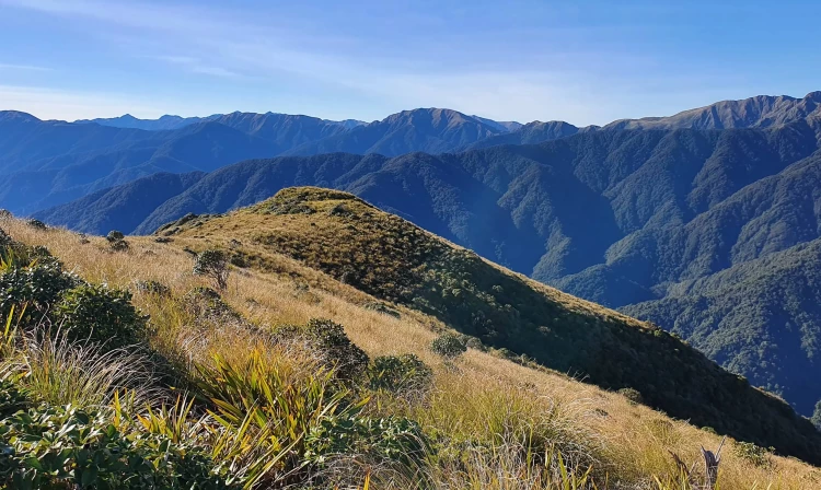
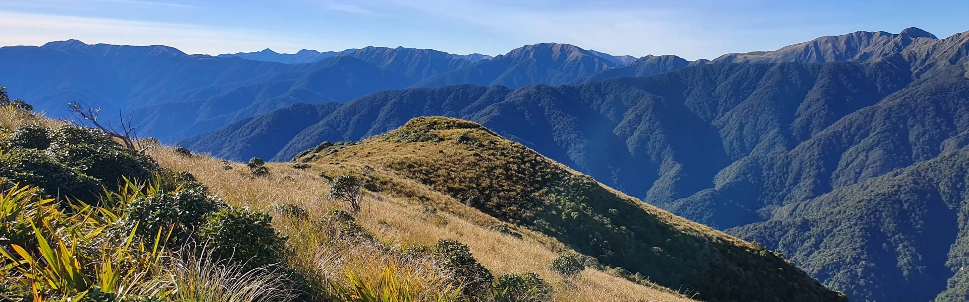
Time: 3-4 hours Distance: 5 km Track: Advanced tramping track Beyond Field Hut, the track continues uphill through dense leatherwood shrubs before breaking out into open tussock country near the summit of Table Top (1047 metres). A raised boardwalk and gravel track protect fragile subalpine wetlands as you cross this area. From here, wide views open up, with the Main Range peaks and the deep Ōtaki River gorges stretching from east to north. Pass by the signposted track towards Penn Creek Hut and continue the steep climb up the ridge to sidle Bridge Peak at 1421m. You will pass the turn off towards Maungahuka hut as Kime Hut is a further 1km along to tops.
Time: 7-9 hours Distance: 10.5 km Track: Advanced tramping track This section of the route is challenging and requires backcountry tramping experience and good navigational skills. It should not be attempted in poor visibility or high winds as the route is exposed with steep drop offs. Retrace your steps back towards the junction to Maungahuka Hut. The right hand fork not long after leaving Kime Hut is a short-cut that saves 15 minutes or so by cutting out the junction at Bridge Peak. It joins straight on to the ridgeline towards Maungahuka Hut, but it is not marked and difficult to follow so care must be taken. The ridge traverses up and down over several high points, Boyd-Wilson Knob (1138m), Vosseler (1198m), Yeates (1205m) and finally McIntosh (1286). Shortly after McIntosh, you'll see the turn off to the left to start your descent to Penn Creek Hut. The track enters the bush line and drops continuously and steeply down the Pakihore Ridge to the creek below. It's a jarring, relentless descent for the sure footed. Once the creek is reached, the riverbed can be followed to reach the hut or you can take a track that sidles the bank.
Time: 5-7 hours Distance: 10.5 km Track: Advanced tramping track Leaving Penn Creek Hut, the track heads upstream to climb back up to Tabletop. There are signs warning of slips on the alternate route back to the car park that follows Penn Creek down to the Ōtaki river. It's a steady but shaded climb through the forest back to the tussock tops. Continue descending past Field Hut the way you came through kamahi and beech forest to Ōtaki Forks car park.
Stay on Track : The trail can be challenging, and getting lost is possible, especially when heading downhill. Follow the markers diligently to ensure you stay on the right path. Pack Emergency Supplies : As a precaution, always carry a distress beacon and pack essential emergency supplies. Include items such as an emergency shelter, spare food and water, warm clothing, a torch (with spare batteries), and other necessities for an unexpected overnight stay. Weather Awareness : Be mindful of the weather conditions, especially on the Tararua tops where extreme weather is common. If the weather worsens, consider staying in the shelter of a hut rather than venturing above the bush line. Assess the weather before proceeding beyond the bush line and be prepared to turn back if necessary.
Ōtaki Forks is 19 km inland from Ōtaki township – approximately 1 hr 30 min drive from Wellington or Palmerston North. The easiest turnoff from SH1 is at Ōtaki Gorge Road, just south of the SH1 bridge over the Ōtaki River. The last 5 km of the Ōtaki Gorge Road is unsealed, narrow and windy – drive carefully. Use this location in Google Maps to find your way there.
We encourage you to continue gaining the skills and knowledge required for a safe trip. The NZ Mountain Safety Council has lots of free resources and information you can use. These can be accessed via www.mountainsafety.org.nz . Level up in your outdoor knowledge with these interactive online learning tools: Trip Planning Tramping / field Skills Basic Navigation River Safety Additionally, check out the range of helpful videos available from the NZ Mountain Safety Council YouTube channel .
Track information, access and weather can change. Confirm current alerts and land-manager information close to departure, tell someone your plans, and carry equipment appropriate for the route and conditions.