10 October 2026
Partly cloudy with isolated showers developing in the afternoon. Northeasterlies dying out in the afternoon.
Loading outdoor place details…
Ōtaki area
Take a short, easy walk around a dune lake in Papaitonga Scenic Reserve. It has great spots to enjoy views and look for and listen to birds and is a good option for kids.
Distance
2 km
Walking time
10 min | 20 min
Difficulty
Easiest
Dogs
Not allowed
Wheelchair access
Not marked friendly
Current status
Weather outlook
Issued 10 Oct 2026, 4:55 pm
10 October 2026
Partly cloudy with isolated showers developing in the afternoon. Northeasterlies dying out in the afternoon.
11 October 2026
Showers, clearing to fine spells early afternoon, then clouding over towards evening with drizzle on the ranges. Northerlies.
12 October 2026
Fine, then a few showers developing in the evening. Northwesterlies developing for a time in the afternoon.
13 October 2026
Occasional rain. Northeasterlies, turning northwesterly in the morning.
14 October 2026
Rain. Northwesterlies.
Regional guidance only; elevation and terrain can produce different conditions.
Explore the area
Explore the track route and surrounding area before you set out.
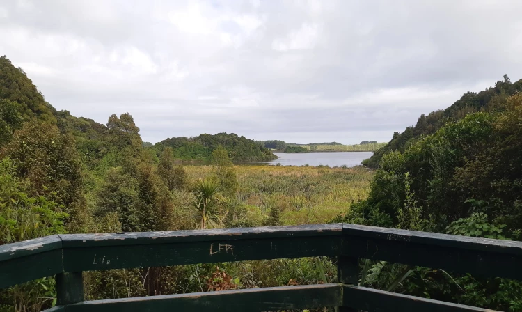
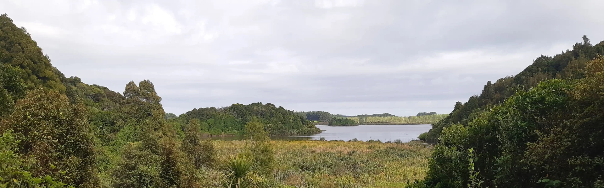
An easy 10 min forest track and boardwalk takes you to a picnic area and viewing platform to lookout over Lake Papaitonga (also known as Lake Waiwiri). A 20 min loop track continues on to the southern edge of the lake. Papaitonga is a dune lake in the Horowhenua coastal plain rich in cultural and natural history. The lake contains two islands – Motukiwi (Papaitonga) and Motungarara (Papawhaerangi). The latter is an artificial island constructed by Muaūpoko residents in 1820 to extend their village. The lake and the surrounding wetland and lush coastal forest make up 135 hectares of scenic reserve. It’s a refuge for birds that depend on wetlands or lowland forests for their survival.
Wasps nests may be present during the summer months. Dogs, fires and other activities that may cause damage, such as hunting, mountain biking and trail bike riding, are not permitted. Visitors should stay on formed tracks and defined lookout areas at all times. Access to the islands on the lake is not permitted. Remove your rubbish.
The track begins from the car park at the end of Buller Road, approximately 5km southwest of Levin. Use this location on Google Maps to help find your way there.
We encourage you to continue gaining the skills and knowledge required for a safe trip. The NZ Mountain Safety Council has lots of free resources and information you can use. These can be accessed via www.mountainsafety.org.nz . We recommend trying these online learning tools: Trip Planning Tramping / field Skills Basic Navigation River Safety Additionally, check out the range of helpful videos available from the NZ Mountain Safety Council YouTube channel
No dogs.
Track information, access and weather can change. Confirm current alerts and land-manager information close to departure, tell someone your plans, and carry equipment appropriate for the route and conditions.