10 October 2026
Partly cloudy with the odd shower, mainly at night. Northeasterlies.
Loading outdoor place details…
Remutaka Forest Park
Fit and experienced trampers can cross the Remutaka Range via Papatahi (902 m) from mid-Ōrongorongo valley to the Wairarapa side of the Remutaka Forest Park.
Distance
22.3 km
Walking time
12 hr
Difficulty
Advanced
Dogs
Not allowed
Wheelchair access
Not marked friendly
Current status
Weather outlook
Issued 10 Oct 2026, 4:55 pm
10 October 2026
Partly cloudy with the odd shower, mainly at night. Northeasterlies.
11 October 2026
A few showers, possibly heavy, clearing to fine in the afternoon. Northeasterlies, turning northwesterly in the morning.
12 October 2026
Fine. Northwesterlies, dying out for a time in the afternoon and evening.
13 October 2026
A few showers. Northwesterlies.
14 October 2026
Showers developing in the morning. Northwesterlies.
Regional guidance only; elevation and terrain can produce different conditions.
Explore the area
Explore the track route and surrounding area before you set out.
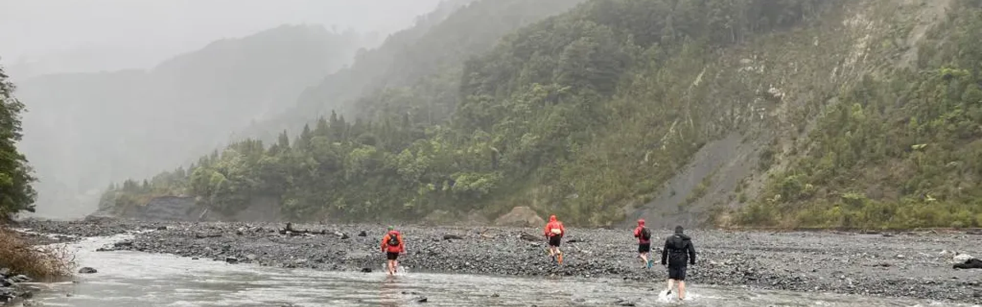
Although it can be walked in either direction, most people start at the Catchpool car park and follow the Ōrongorongo Track. Leave the Ōrongorongo River at North Boulder Creek and climb the spur to the summit of Papatahi. Descend to the Wharepapa River, crossing it to reach Wharepapa Hut . Continue along the track, crossing Battery Stream before reaching Western Lake Road. The final section crosses private land, which spans about 2.5 km and begins approximately 4.5 km from Wharepapa Hut. This is a long and demanding day for fit groups. Most should plan to stay overnight at or near Papatahi Hut on the Ōrongorongo River. If starting from Western Lake Road, the private land begins at the road.
The track can be walked in either direction: from Catchpool Valley on the Wellington side, and from Western Lake Road on the Wairarapa Side. Catchpool Valley is 12 km south of Wainuiomata. Follow the Coast Road for 10 km to the Remutaka Forest Park entrance, then follow the Catchpool valley road for 2 km to the car park and information area. If the water is flowing over the ford on the road, park before the ford and use the Nga Taonga Nature Walk to reach the car park. The track starts from the main car park next to the small information shelter. The entrance to Catchpool Valley is open during summer (daylight savings) from 6am to 8pm, and in winter from 6am to 6pm. Use this location in Google Maps to find your way there. Western Lake Road is a 32 km drive from Featherston past Lake Wairarapa. Use this location in Google Maps to find your way there.
We encourage you to continue gaining the skills and knowledge required for a safe trip. The NZ Mountain Safety Council has lots of free resources and information you can use. These can be accessed via www.mountainsafety.org.nz . We recommend trying these online learning tools: Trip Planning Tramping / field Skills Basic Navigation River Safety Additionally, check out the range of helpful videos available from the NZ Mountain Safety Council YouTube channel .
No dogs.
Track information, access and weather can change. Confirm current alerts and land-manager information close to departure, tell someone your plans, and carry equipment appropriate for the route and conditions.