11 October 2026
Cloudy periods. Showers developing at night. Westerlies.
Loading outdoor place details…
Waitakere South Regional Park
Explore this 9.66 km trail starting at Karekare. It’s a moderately challenging route. Camping options at Tunnel or Pararaha Campgrounds if you want to add a overnight stay.
Distance
10.2 km
Walking time
3 hours
Difficulty
Intermediate
Dogs
Not allowed
Wheelchair access
Not marked friendly
Current status
No active alerts found. Conditions can still change, so check again before leaving.
Weather outlook
Issued 11 Oct 2026, 4:35 pm
11 October 2026
Cloudy periods. Showers developing at night. Westerlies.
12 October 2026
Mostly cloudy with rain, mainly south of Whangaparaoa where it may be heavy. Easing in the afternoon then clearing early evening but cloudy periods remaining. Westerlies.
13 October 2026
Mostly cloudy with isolated showers, clearing to fine in the morning. Northwesterlies.
14 October 2026
Mostly cloudy with isolated showers, clearing to fine in the morning. Northwesterlies.
15 October 2026
A few showers, turning to rain for a time. Northerlies, turning westerly in the morning.
Regional guidance only; elevation and terrain can produce different conditions.
Explore the area
Explore the track route and surrounding area before you set out.
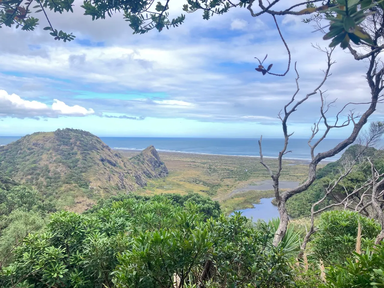
Pararaha Coastal Track links Karekare with Pararaha Valley in the Waitākere Ranges Regional Park. The route features new boardwalks and varied scenery—beach, tunnel, sand dunes, cliffs, stream, and swamp. Start your walk at the Karekare Beach car park. Head south from the car park, cross the bridge to Pōhutukawa Glade and then follow the track to Karekare Beach. Walk around Karekare Point along Whatipū Beach at low to mid-tide only . Follow the beach south and head inland through the dunes. Follow the orange markers to Tunnel Point Campground or c ontinue south along the back dune track following the sign to Pararaha Valley Campground.
Animals: Dogs, other animals and pets are prohibited at all times. Smokefree regional parks: Our regional parks are smoke-free. Waste: All our regional parks are rubbish free. Take all rubbish and recycling with you when you leave. Outdoor fires: It is illegal to light a fire outside in all public areas in the Auckland region. For more information about the park and track, head to the Auckland Council website .
Pararaha Valley Campground is a g rassed campground at the foot of a hill with an open shelter. There is a composting toilet and water is available from the stream. Boil before use. Tunnel Point Campground is a basic grassed campground situated between dune wetlands and coastal cliffs. Whatipu Lodge and Campground is a private lodge and campground. Bookings are required.
Start from the Karekare beach car park. Use this location on Google Maps to help find your way there.
We encourage you to continue gaining the skills and knowledge required for a safe trip. The NZ Mountain Safety Council has lots of free resources and information you can use. These can be accessed via www.mountainsafety.org.nz . We recommend trying these online learning tools: Trip Planning Tramping / field Skills Basic Navigation River Safety Additionally, check out the range of helpful videos available from the NZ Mountain Safety Council YouTube channel
Prohibited
Track information, access and weather can change. Confirm current alerts and land-manager information close to departure, tell someone your plans, and carry equipment appropriate for the route and conditions.