10 October 2026
Cloud, low about the foothills, breaking up in the morning. Scattered showers developing this afternoon, possibly heavy and thundery with hail, mainly about the foothills.
Loading outdoor place details…
Peel Forest Park Scenic Reserve
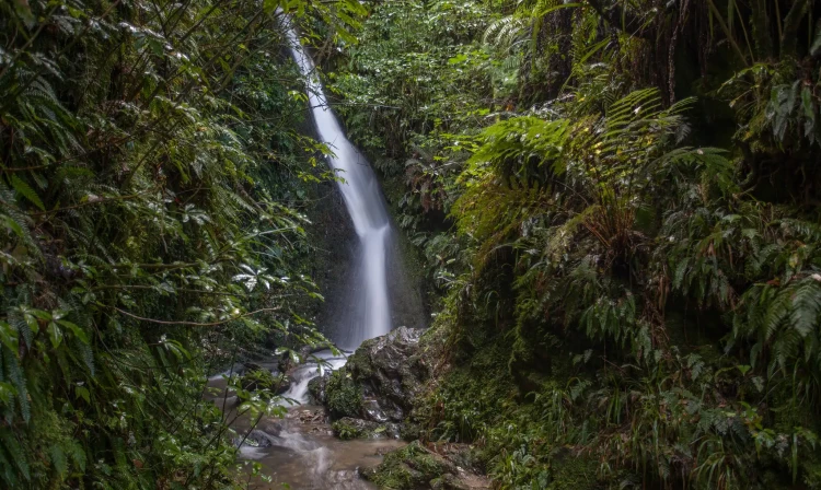
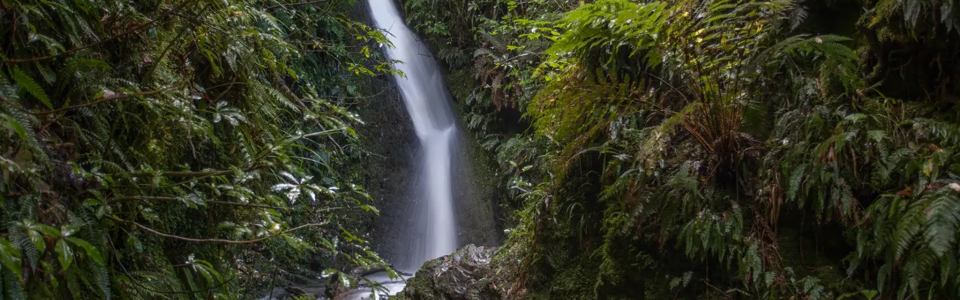
This track takes you to the 14 m high Acland Falls from Clarke Flat or Te Wanahu Flat.
Distance
0.8 km
Walking time
25-30 min
Difficulty
Easy
Dogs
Not allowed
Wheelchair access
Not marked friendly
Current status
Weather outlook
Issued 10 Oct 2026, 7:33 am
10 October 2026
Cloud, low about the foothills, breaking up in the morning. Scattered showers developing this afternoon, possibly heavy and thundery with hail, mainly about the foothills.
11 October 2026
Fine, apart from showers before dawn.
12 October 2026
Fine.
13 October 2026
Showers developing.
14 October 2026
Rain turning to showers. Snow lowering to 1900 metres.
Regional guidance only; elevation and terrain can produce different conditions.
Explore the area
Explore the track route and surrounding area before you set out.
Starting from Clarke Flat, the track climbs steeply and then drops into a small stream. The falls (14 m) are a short walk up the streambed. The sunnier and drier aspect of this northern flank of the park has produced vegetation strikingly different from that found elsewhere, dominated by fuchsia, māhoe, kōwhai and kānuka. A loop walk can be made by coming back along the western section of Allans Track to Te Wanahu Flat. Then, either cross the road and walk down steps to Kahikatea Walk and turn left back to Clarke Flat or walk back down the road to Clarke Flat.
Cellphone coverage in the Peel Forest area is poor. Consider bringing an emergency communications device.
Peel Forest Campground has campsites and cabins. Bookings are required . The campground is closed from May to mid-October each year, however. During this period Clarke Flat is opened as a standard campsite.
9.5 km north of Geraldine, turn off SH72 (Inland Scenic Route) into Peel Forest Road, which becomes Rangitata Gorge Road. Clarke Flat and Te Wanahu Flat are 600 m apart on Rangitata Gorge Road, approx. 14 km from SH72. Use this location in Google Maps to find your way there.
We encourage you to continue gaining the skills and knowledge required for a safe trip. The NZ Mountain Safety Council has lots of free resources and information you can use. These can be accessed via www.mountainsafety.org.nz . Level up in your outdoor knowledge with these interactive online learning tools: Trip Planning Tramping / field Skills Basic Navigation River Safety Additionally, check out the range of helpful videos available from the NZ Mountain Safety Council YouTube channel .
No dogs.
Track information, access and weather can change. Confirm current alerts and land-manager information close to departure, tell someone your plans, and carry equipment appropriate for the route and conditions.