11 October 2026
Showers, possibly heavy, retreating to the ranges in the afternoon, clearing in the evening. Northerlies, easing in the afternoon.
Loading outdoor place details…
Paparoa National Park
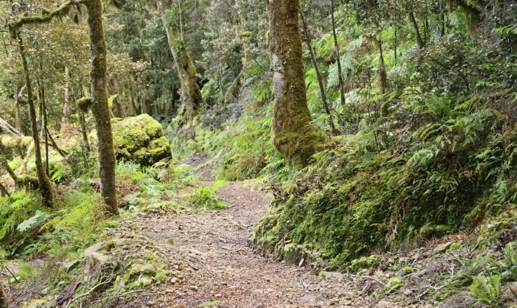
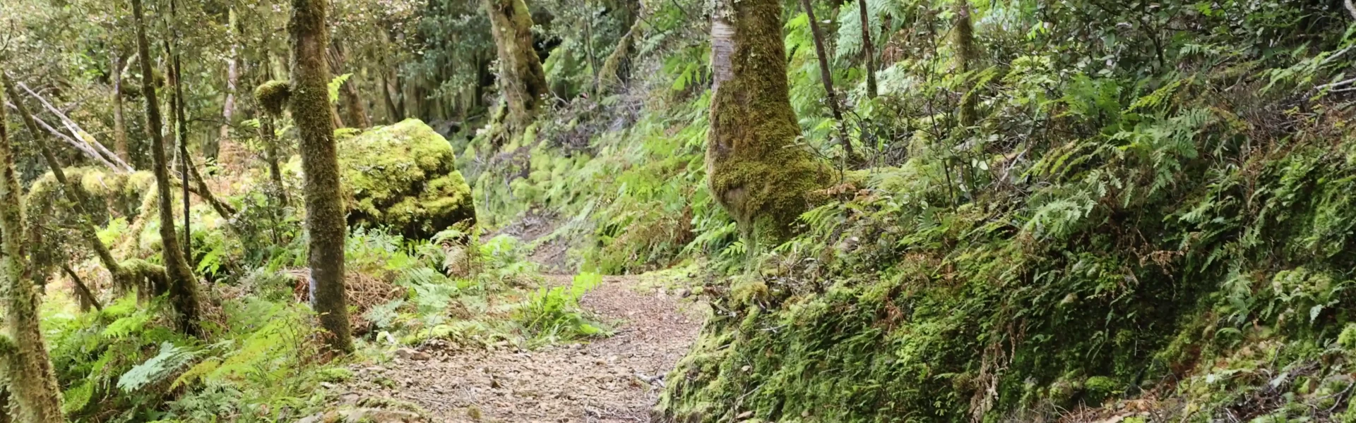
This track has been dedicated to the 29 men killed in the Pike Mine disaster and is named in their honour. This well-engineered shared-use track weaves from near the site of the Pike River Mine up to meet the Paparoa Track along The Escarpment. Enjoy beautiful native forest and scenic views out to the coast and over Paparoa National Park.
Distance
23.2 km
Walking time
5-6 hr uphill | 3 hr 30 min-4 hr 30 min downhill
Difficulty
Intermediate
Dogs
Not allowed
Wheelchair access
Not marked friendly
Current status
No active alerts found. Conditions can still change, so check again before leaving.
Weather outlook
Issued 10 Oct 2026, 11:01 pm
11 October 2026
Showers, possibly heavy, retreating to the ranges in the afternoon, clearing in the evening. Northerlies, easing in the afternoon.
12 October 2026
Fine. Westerlies developing for a time in the afternoon.
13 October 2026
A few showers. Northwesterlies developing in the morning.
14 October 2026
Rain, with heavy falls from morning. Northerlies, turning westerly in the evening.
15 October 2026
A few showers turning to rain. Easterlies developing.
Regional guidance only; elevation and terrain can produce different conditions.
Explore the area
Explore the track route and surrounding area before you set out.
The Pike 29 Memorial Track was constructed to commemorate the 29 men who tragically lost their lives in the Pike River Mine disaster in 2010. It starts near the site of the Pike River Mine and immediately starts climbing up many switch-backs to gain 700m of elevation. The switch-backs are designed to enable mountain bikers to climb and descend the track. This means that the gradient is not steep, but you'll need to be mindful of bikers coming downhill. Expect this climb to take around 3-4 hours. After 6.5km of climbing, just over the half-way point of the Pike 29 Track, the track begins to traverse the undulating ridgeline until meeting the Paparoa Track 1.5 to 2 hours and 4.6km later. After meeting the Paparoa Track and turning right you'll be faced with a traverse along the top of The Escarpment. With amazing views on a good day, be sure to enjoy your time there, but as this involves a significant cliff, be sure to keep a reasonable distance form the edge when soaking in the views! Return the way you came, or if looking for an overnight trip, Moonlight Tops Hut is just over 5kms to the south-west. It's around an hour and a half to two hours walk away. Alternatively, Pororari Hut is 12 km to the north which will take you 3-4 hours. Learn more about this trip on the Pike 29 to Pororari River track.
The track is open year-round, however severe weather such as heavy rain, strong winds, snow, and freezing temperatures can occur any time of year. Ice and snow is more common in the winter months, adding another hazard to exposed sections of the track. The average temperature fluctuates from 18 degrees in summer to 4 degrees in winter. Prepare for all conditions by taking warm and waterproof clothing. Be aware that landslides and rock falls can occur on the Paparoa Track, particularly during and after heavy rain. These can occur without warning. Follow instructions on warning signage and do not linger in identified rock fall areas.
Moonlight Tops Hut is just over 5kms to the south-west. It's around an hour and a half to two hours walk away. Alternatively, Pororari Hut is 12 km to the north which will take you 3-4 hours. Both new huts are Great Walk standard, and are well positioned with great views. Of course, bookings are required and can fill up very quickly.
The track starts from the Pike River Mine. It can be found at this location in Google Maps or this location on topomap.co.nx
We encourage you to continue gaining the skills and knowledge required for a safe trip. The NZ Mountain Safety Council has lots of free resources and information you can use. These can be accessed via www.mountainsafety.org.nz . Level up in your outdoor knowledge with these interactive online learning tools: Trip Planning Tramping / field Skills Basic Navigation River Safety Additionally, check out the range of helpful videos available from the NZ Mountain Safety Council YouTube channel .
Dogs allowed. Keep dog under control at all times.
Track information, access and weather can change. Confirm current alerts and land-manager information close to departure, tell someone your plans, and carry equipment appropriate for the route and conditions.