11 October 2026
Showers, possibly heavy with thunderstorms and snow to 2000 metres, easing in the morning and clearing in the afternoon. Cloud remaining about western faces.
Loading outdoor place details…
North Egmont area
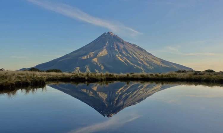
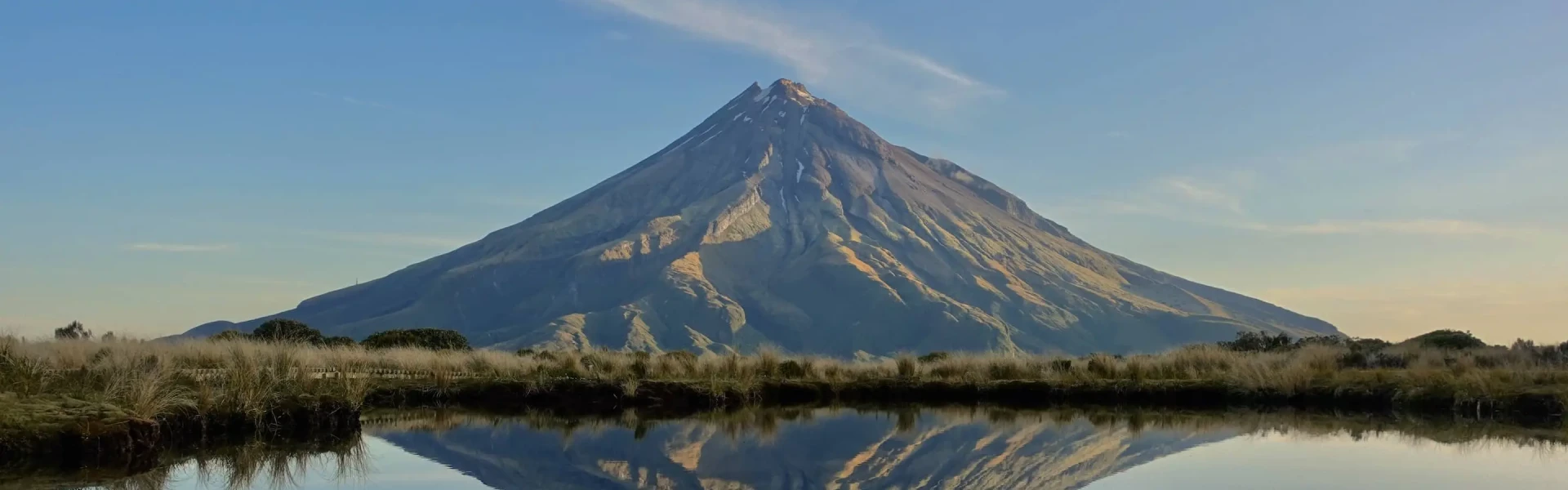
Te Papa-Kura-o-Taranaki’s premier 2–3 day tramp offers spectacular views of Taranaki Maunga and the surrounding countryside. The 25 km track passes through forest, alpine tussock fields and the unique Ahukawakawa Swamp.
Distance
25 km
Walking time
2 - 3 days
Difficulty
Advanced
Dogs
Not allowed
Wheelchair access
Not marked friendly
Current status
Weather outlook
Issued 10 Oct 2026, 9:23 pm
11 October 2026
Showers, possibly heavy with thunderstorms and snow to 2000 metres, easing in the morning and clearing in the afternoon. Cloud remaining about western faces.
12 October 2026
A few showers, more persistent in the morning and afternoon.
13 October 2026
Showers, some possibly heavy.
14 October 2026
Showers.
15 October 2026
Rain turning to showers, some heavy. Snow lowering to 1400 metres.
Regional guidance only; elevation and terrain can produce different conditions.
Explore the area
Explore the track route and surrounding area before you set out.
The Holly Hut Track climbs through montane forest and subalpine scrub, passing the turnoff to the Plateau. Walk beneath the towering lava columns of the Dieffenbach Cliffs and cross the Boomerang Slip. Once past the Kokowai Track turnoff, the track gradually descends to the Ahukawakawa Track junction. Turn left for a 5 minute walk to solar powered Holly Hut. Minarapa Stream just prior to the hut can be impassable after heavy rain. From the hut, a 30 minute (one way) side trip along the Bells Falls track will take you to the towering Bells Falls/ Te Rere o Tahurangi (31 m).
Return to the Ahukawakawa Track junction and follow the boardwalk across Ahukawakawa Swamp. This area is a wetland/swamp – while there is a boardwalk, expect water and mud on the track in places. After crossing the headwaters of the Stony River/Hangatahua, the track ascends a ridge through mountain cedar to reach the Pouākai Track. Turn left here to take a 1 hr 30 min (return) detour to Pouākai Trig (1440 m). Turn right to follow Pouākai Track on to the Mangorei Track junction. Pouākai Hut is a 5 minute walk down the Mangorei Track. The Mangorei Track is a good exit from the circuit if weather conditions are bad (allow 2 hours to Mangorei Road end).
Return uphill to the Pouākai Track junction and turn left to traverse open tussock lands, passing the scenic alpine tarns (pools) before skirting around Maude Peak. The track then climbs Henry Peak (1220 m) before descending Kaiauai Track, passing the Kaiauai Shelter, to cross the swingbridge over the Kai Auahi Stream. From here, the track continues through lowland forest, crossing several small streams before reaching the swingbridge across the Waiwhakaiho River. A short climb leads up to the Ram Track junction. The quickest return to the visitor centre from here is via the road.
You need moderate to high levels of backcountry skills and experience. You need to be able to read a map, have undertaken tracks of a similar difficulty, have average or above fitness, and be able to traverse moderately steep slopes and rough ground. The track is steep in places. The surface can be muddy and wet and has tree roots and embedded rocks. Expect snow and ice in winter conditions. Major rivers and streams are bridged apart from the Minarapa Stream just prior to Holly Hut and a couple of the smaller tributaries of the Waiwhakaiho River between Henry Peak and North Egmont. Some of these tributaries can flood at any time of the year.
Both Holly Hut and Pouākai Hut require bookings in advance via DOC's booking system. There is also the option to camp nearby to each of the huts using DOC campsite passes (first come, first served) however Pouākai Hut only has space for two tents.
There are several possible starting points for this circuit. The main starting point is the North Taranaki Park Visitor Centre , however the carpark can be full during summer, especially on weekends and public holidays, so either get there early, arrange a shuttle, or consider an alternative starting point. Use this location in Google Maps to find your way there. Alternative starting points include: Kaiauai car park: Start on the Kaiauai Track from the carpark 2 km below the visitor centre on Egmont Road. Mangorei Road: Start from the carpark at the top of Mangorei Road, off SH3, south of New Plymouth. Dover Track: Start from Carrington Road opposite Dover Road.
We encourage you to continue gaining the skills and knowledge required for a safe trip. The NZ Mountain Safety Council has lots of free resources and information you can use. These can be accessed via www.mountainsafety.org.nz . We recommend trying these online learning tools: Trip Planning Tramping / field Skills Basic Navigation River Safety Additionally, check out the range of helpful videos available from the NZ Mountain Safety Council YouTube channel .
Taranaki can be a very windy spot; this is more likely as you gain elevation. Passing frontal systems can drop a lot of rain on the mountain in a short period. Low cloud can cause disorientation, especially above the bushline. You must be well prepared with suitable clothing and equipment for all weather and conditions. Sections of this track can become impassable in winter conditions due to snow and ice. Check with North Taranaki Visitor Centre for up-to-date track conditions.
No dogs.
Track information, access and weather can change. Confirm current alerts and land-manager information close to departure, tell someone your plans, and carry equipment appropriate for the route and conditions.