10 October 2026
Partly cloudy with isolated showers developing in the afternoon. Northeasterlies dying out in the afternoon.
Loading outdoor place details…
Kāpiti
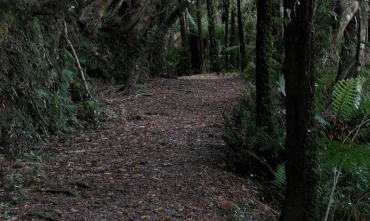
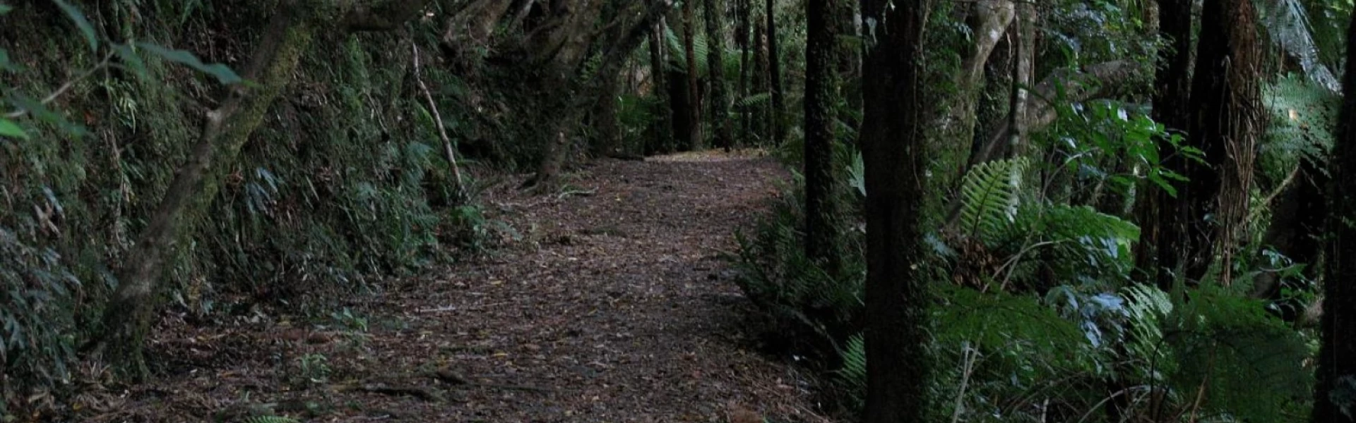
Te Araroa trail section: Climb steadily through mixed forest with grass clearings that provide sweeping views of Ōtaki Forks and the Tararua Range. The highest point is at Pukeatua (812m). The track then descends back down towards the Waikanae River.
Distance
24.7 km
Walking time
1 day
Difficulty
Intermediate
Dogs
Not allowed
Wheelchair access
Not marked friendly
Current status
Weather outlook
Issued 10 Oct 2026, 10:55 am
10 October 2026
Partly cloudy with isolated showers developing in the afternoon. Northeasterlies dying out in the afternoon.
11 October 2026
A few showers, turning to rain for a time in the morning. Northeasterlies, turning northwesterly in the morning.
12 October 2026
Fine, then a few showers developing in the evening. Northwesterlies developing for a time in the afternoon.
13 October 2026
Occasional rain. Northeasterlies, turning northwesterly in the morning.
14 October 2026
Rain. Northwesterlies.
Regional guidance only; elevation and terrain can produce different conditions.
Explore the area
Explore the track route and surrounding area before you set out.
Pukeatua - 14km / 6-7 hours From the Department of Conservation information sign, follow the Fenceline Loop Track for 700m to a marked junction to Pukeatua Track. The track takes a sharp left uphill turn to a south-west ridge. It is marked with the Department of Conservation orange triangles. Continue up-hill for about 3 hours with a hard right turn just prior to exiting the bush before Pukeatua (812m) and a good lunch spot. The track skirts the scrubby tops on the eastern side to Pukeatua Summit. From the summit, the track follows the south side of a westerly ridge to a saddle and then northwest down a ridge to a broad ridge and intersection. Turn right at the fork (large orange triangles) following the DOC markers and down towards the covenanted land section and pine forest. The area adjacent to the pine forest is private land covenanted with the Queen Elizabeth II National Trust to preserve the native forest. Walkers are required to respect the protected area and stay on the marked track. Recent logging of the pine forest has damaged the track, and the trail marking is unclear. Follow the bulldozed logging road which is steep at times, so take care. On reaching the stream go upstream for just 10m then left, crossing the stream on to a four-wheel-drive track leading to a gate and gravel road. Exit left and walk down the road, crossing the pedestrian bridge to the South Mangaone Road Car Park and track end. Mangaone Road to Waikanae River - 11km From the car park continue down South Mangaone Road (5km) turn right into Ngātiawa Road (1km) and right into Reikiorangi Road (5km) leading to Waikanae Village. If continuing on the next section (Kapiti Coast) after crossing the railway line and Waikenae's Main Road turn left and proceed south on the footpath. Cross Te Moana Road (traffic lights) and down Main Road / Old State Hwy 1 to just before the Waikanae River road bridge. Turn right onto the track down river on the true right bank (north)
Potential hazards Vehicles on road or track Poisons and traps Forestry operations Small stream crossings Track exposed to sun, wind or cold Weather extremes Few water sources. Only at start and finish Tararua Range (Waitewaewae Hut) weather - NIWA Leave gates as you find them. Dogs on a leash only.
Northern Start: Otaki Forks, Otaki Gorge Road (vehicle access to Ōtaki Forks is closed due to slips at Blue Bluff) Southern End: Waikanae River Bridge, SH1
Before starting Te Araroa either as a through-walker of the whole country or a section walker, please register on Te Araroa website . Please also visit the website or download the app for detailed maps, trail alerts and other relevant information. This track is part of the Herenga ā Nuku Aotearoa track database. Herenga ā Nuku has maps and advice about public access to the outdoors . We encourage you to continue gaining the skills and knowledge required for a safe trip. The NZ Mountain Safety Council has lots of free resources and information you can use. You can access them at www.mountainsafety.org.nz . We recommend trying these online learning tools: Trip Planning Tramping/field Skills Basic Navigation River Safety Additionally, check out the range of helpful videos available from the NZ Mountain Safety Council YouTube channel .
Track information, access and weather can change. Confirm current alerts and land-manager information close to departure, tell someone your plans, and carry equipment appropriate for the route and conditions.