09 October 2026
Partly cloudy, with the chance of a shower about the ranges. Light winds, but easterlies about Golden Bay.
Loading outdoor place details…
Takaka area
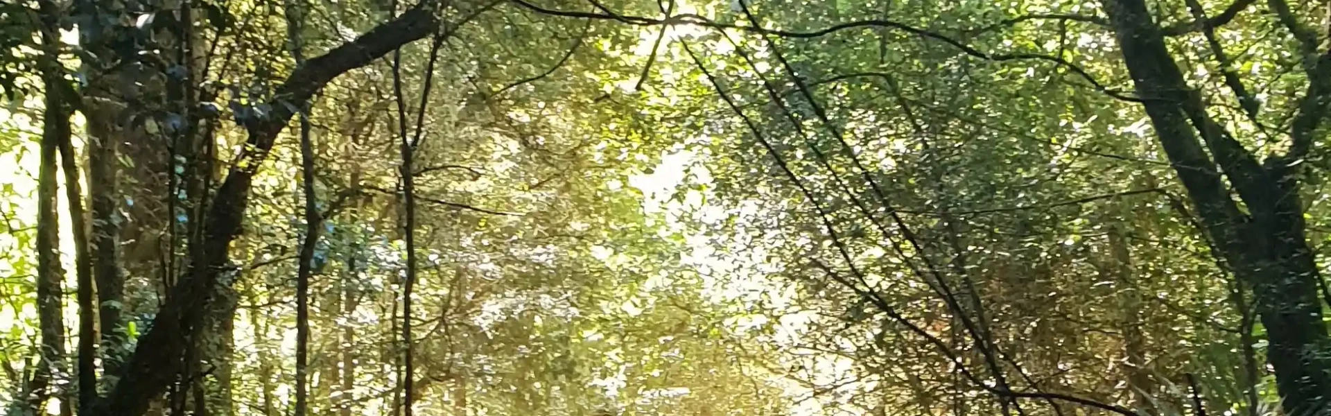
Walk to a viewing structure at possibly the most diverse and extensive entrance and twilight-zone flora of any cave in New Zealand.
Distance
3 km
Walking time
2 hrs
Difficulty
Expert
Dogs
Not allowed
Wheelchair access
Not marked friendly
Current status
No active alerts found. Conditions can still change, so check again before leaving.
Weather outlook
Issued 9 Oct 2026, 4:49 pm
09 October 2026
Partly cloudy, with the chance of a shower about the ranges. Light winds, but easterlies about Golden Bay.
10 October 2026
Cloud increasing with showers developing in the morning, then becoming rain overnight. Easterlies easing in the morning, then northerlies in the evening.
11 October 2026
Showers becoming isolated with longer fine breaks in the afternoon. Northeasterlies, turning westerly in the afternoon.
12 October 2026
Mainly fine, but isolated showers in the afternoon. Light winds.
13 October 2026
Partly cloudy. Light winds.
Regional guidance only; elevation and terrain can produce different conditions.
Explore the area
Explore the track route and surrounding area before you set out.
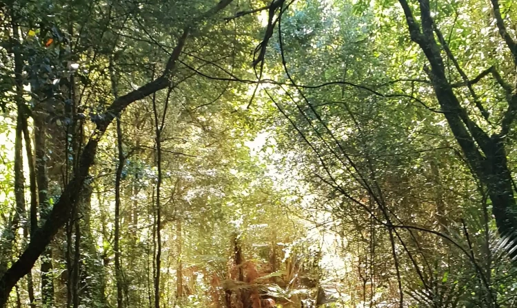
Shortly after leaving the carpark, you’ll cross Dry River. From there, the marked route follows the valley for about 30 minutes before turning sharply right and climbing steeply for another 30 minutes. The final section is steep and narrow, requiring reasonable fitness and tramping experience. The cave entrance and viewing platform are located just beyond this point.
After heavy rain, Dry River is prone to flooding – do not attempt to cross in these conditions. At the cave entrance, stay on the formed track and viewing structure to protect the cave's significant kiokarst features. Be aware of falling rocks and slippery surfaces.
From Tākaka, drive east towards Pohara Beach. At Motupipi turn right into Glenview Road and then left into Packard Road. Rawhiti Cave is signposted from near the end of Packard Road through private property to an informal carpark. Leave the gates as you find them. It takes approximately 15 minutes to drive from Tākaka to the carpark. Use this location on Google Maps to help find your way there.
We encourage you to continue gaining the skills and knowledge required for a safe trip. The NZ Mountain Safety Council has lots of free resources and information you can use. These can be accessed via www.mountainsafety.org.nz . We recommend trying these online learning tools: Trip Planning Tramping / field Skills Basic Navigation River Safety Additionally, check out the range of helpful videos available from the NZ Mountain Safety Council YouTube channel
No dogs.
Track information, access and weather can change. Confirm current alerts and land-manager information close to departure, tell someone your plans, and carry equipment appropriate for the route and conditions.