10 October 2026
Cloud increasing, then showers developing this evening.
Loading outdoor place details…
Fiordland National Park
This is a fabulous, easy day walk on the Routeburn Track (a Great Walk), leading to the beautiful Earland Falls with plenty of mountain and valley views along the way.
Distance
7.5 km
Walking time
6 hr
Difficulty
Intermediate
Dogs
Not allowed
Wheelchair access
Not marked friendly
Current status
Weather outlook
Issued 10 Oct 2026, 7:33 am
10 October 2026
Cloud increasing, then showers developing this evening.
11 October 2026
Showers, clearing in the afternoon but remaining cloudy with the odd shower lingering south of Secretary Island. Snow to 2100 metres in the north at first.
12 October 2026
Partly cloudy, with one or two morning showers south of Secretary Island.
13 October 2026
A few showers, turning to rain, with snow to 2100 metres.
14 October 2026
Showers, some possibly heavy. Snow lowering to 800 metres.
Regional guidance only; elevation and terrain can produce different conditions.
Explore the area
Explore the track route and surrounding area before you set out.
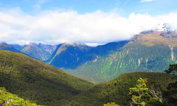
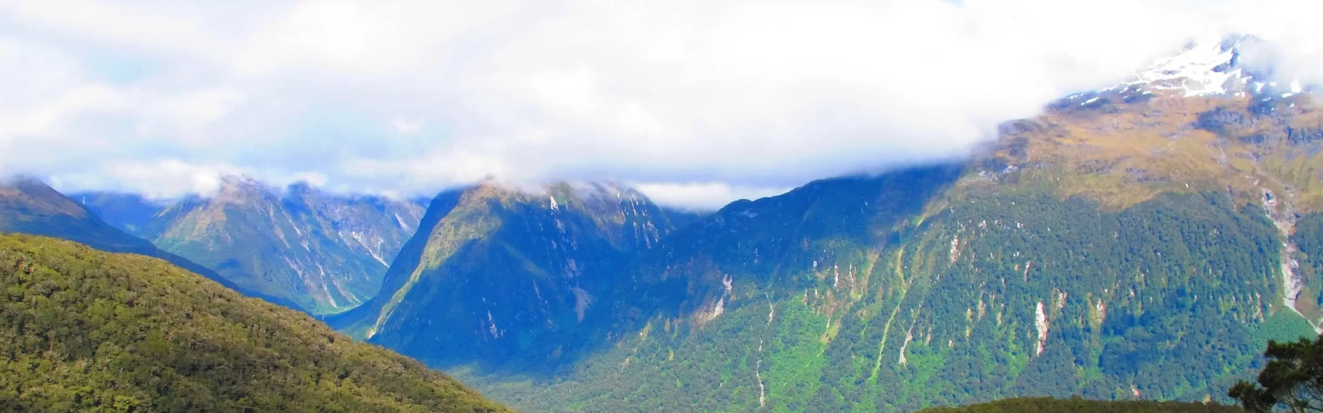
Starting at the Divide , join the well - maintained and well - signposted Routeburn Track for the first part of your journey to Key Summit. The track starts off gently and after about 10 minutes there is a chance to fill up your water bottle from a fresh Fiordland stream and waterfall. The track soon climbs steadily up (starting at 532m and finishing at a final height of 918m). For most of the way the trail is dominated by thick beech forest, only thinning just before a track junction, and offering splendid views down the Hollyford Valley , if you’ve happened to stumble upon a clear day. On a nice day it is worth taking a detour up to Key Summit with fantastic views of the Fiordland Mountains (allow 1 hour return back to the Howden junction) From the Key Summit/Howden turn off the track descends down to Lake Howden. Follow the track around to the left to continue to Earland Falls, however a short stroll along Caples Track opens up to nice views of the Lake and the former site of Lake Howden Hut, which was destroyed by storm damage in February 2020. Continuing on, the track gently climbs through beech forest to the impressive Earland Falls which tumble 174 m. Here you'll need your rain gear as the spray from the falls often soaks the surrounding area! Return back the way you came.
The weather in Fiordland is very changeable so make sure you prepared Howden Hut was destroyed in the 2020 floods, however there is a toilet and some picnic tables at Lake Howden. The best place to camp is 20 minutes walk further on down the Greenstone track where you'll find Greenstone Saddle campsite past the far end of Lake Howden. There is a creek by Lake Howden where you can refill water bottles and a tap at the divide shelter. No dogs are allowed.
The nearest DOC Hut is now the 50-bed Lake Mackenzie Hut which is several hours up the Routeburn T rack and requires booking in advance (nearby Howdon Hut is permanently closed after it was damaged in a landslide). Although there are no camping options along this track, a short detour down the Caples Track will take you to Greenstone Saddle/Lake Howden Campsite just to the south of Lake Howden. This is a free campsite which doesn't require bookings. The only facilities are a pit toilet. There are also several camping spots along the Milford Road, including Upper Eglinton Campsite , and Cascade Creek on the shores of Lake Gunn, but these need to be booked in advance as they can be popular in the height of summer.
From Te Anau to the Divide Carpark is 85km which takes about an hour’s drive. The carpark is well signposted on the right hand side of the road. Use this location in Google Maps to find your way there. Tracknet buses also drop off and pick up from Te Anau daily.
We encourage you to continue gaining the skills and knowledge required for a safe trip. The NZ Mountain Safety Council has lots of free resources and information you can use. These can be accessed via www.mountainsafety.org.nz . We recommend trying these online learning tools: Trip Planning Tramping / field Skills Basic Navigation River Safety Additionally, check out the range of helpful videos available from the NZ Mountain Safety Council YouTube channel .
No dogs.
Track information, access and weather can change. Confirm current alerts and land-manager information close to departure, tell someone your plans, and carry equipment appropriate for the route and conditions.