11 October 2026
Scattered showers, becoming confined south of Doubtful Sound in the afternoon.
Loading outdoor place details…
Fiordland National Park
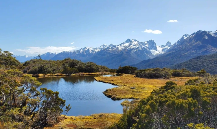
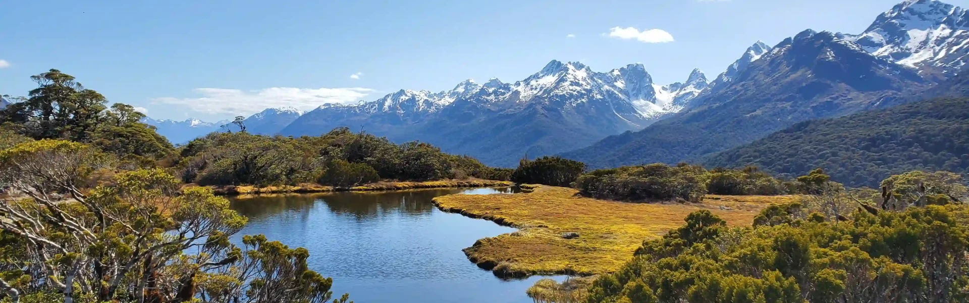
Enjoy panoramic views over mountains and alpine lakes on this half-day walk off Milford Road on the Routeburn Track - it's suitable families with children.
Distance
6.8 km
Walking time
3 hr
Difficulty
Intermediate
Dogs
Not allowed
Wheelchair access
Not marked friendly
Current status
Weather outlook
Issued 11 Oct 2026, 7:33 am
11 October 2026
Scattered showers, becoming confined south of Doubtful Sound in the afternoon.
12 October 2026
Cloud with occasional drizzle.
13 October 2026
Heavy rain in the morning and afternoon, and snow to 2200 metres, otherwise mostly cloudy with isolated showers.
14 October 2026
Rain easing for a time. Snow lowering to 1200 metres.
15 October 2026
A few showers, turning to rain for a time. Snow to 800 metres.
Regional guidance only; elevation and terrain can produce different conditions.
Explore the area
Explore the track route and surrounding area before you set out.
Starting at the Divide , join the well - maintained and well - signposted Routeburn Track for the first part of your journey to Key Summit. The track starts off gently and after about 10 minutes there is a chance to fill up your water bottle from a fresh Fiordland stream and waterfall. The track soon climbs steadily up (starting at 532m and finishing at a final height of 918m). For most of the way the trail is dominated by thick beech forest, only thinning just before a track junction, and offering splendid views down the Hollyford Valley , if you’ve happened to stumble upon a clear day. At the junction take the right-hand fork and continue climbing towards the summit. As you near the top you will pass a long drop toilet just before the trail indicates a turn right onto a nature walk. This loop walk is well worth the extra 30 minutes as the panoramic views and interesting vegetation are simply beautiful. The true summit is a short side walk off this loop with views towards magical Lake Marion, hidden in a hanging valley above the Hollyford Valley. Continue the nature loop around until you reach the start again and then return back to the carpark via the same route down.
The weather is notorious for changing quickly in this part of the country, be prepared for rain and cold conditions, especially in the exposed sections near the summit. If arriving from Te Anau , check the road conditions and weather information before departing as there is no cell phone or internet reception in the area.
The nearest DOC Hut is now the 50-bed Lake Mackenzie Hut which is several hours up the Routeburn T rack and requires booking in advance (nearby Howdon Hut is permanently closed after it was damaged in a landslide). There are several camping spots along the Milford Road, those nearby include Upper Eglinton Campsite , and Cascade Creek on the shores of Lake Gunn, but all need to be booked in advance as it can be popular in the height of summer.
Getting there: The Divide is approx. 1.5 hrs hours from Te Anau on the Milford Road SH94. It is just past Lake Gunn and Lake Fergus if arriving from Te Anau direction. Use this location in Google Maps to find your way there.
We encourage you to continue gaining the skills and knowledge required for a safe trip. The NZ Mountain Safety Council has lots of free resources and information you can use. These can be accessed via www.mountainsafety.org.nz . We recommend trying these online learning tools: Trip Planning Tramping / field Skills Basic Navigation River Safety Additionally, check out the range of helpful videos available from the NZ Mountain Safety Council YouTube channel .
No dogs.
Track information, access and weather can change. Confirm current alerts and land-manager information close to departure, tell someone your plans, and carry equipment appropriate for the route and conditions.