11 October 2026
Showers about the Divide, clearing in the evening, otherwise fine.
Loading outdoor place details…
Mount Hutt area
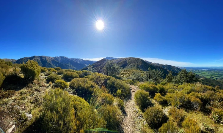
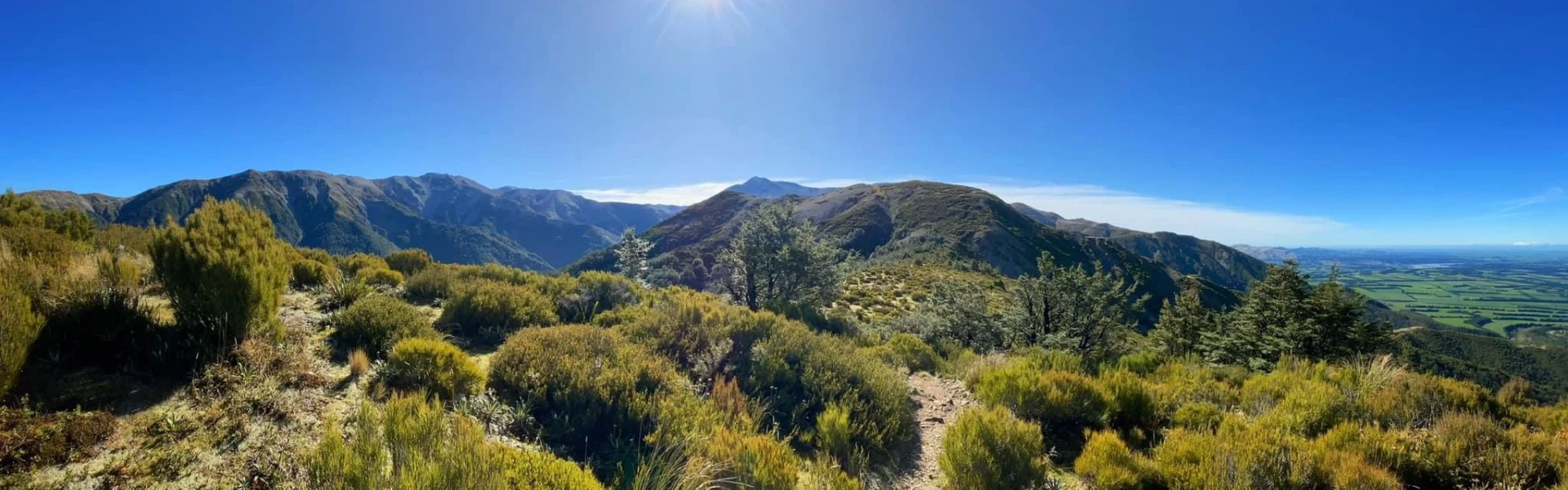
Starting in Mt Hutt Forest and ending at Mount Hutt Skifield Road, Scotts Saddle Track offers beautiful views over mid-Canterbury.
Distance
4.5 km
Walking time
2 hr
Difficulty
Advanced
Dogs
Not allowed
Wheelchair access
Not marked friendly
Current status
Weather outlook
Issued 10 Oct 2026, 9:23 pm
11 October 2026
Showers about the Divide, clearing in the evening, otherwise fine.
12 October 2026
Fine.
13 October 2026
Partly cloudy with isolated showers.
14 October 2026
Rain, with heavy falls.
15 October 2026
Rain developing, with snow to 600 metres.
Regional guidance only; elevation and terrain can produce different conditions.
Explore the area
Explore the track route and surrounding area before you set out.
This track starts from the car park in Awa Awa Rata Reserve and climbs steeply to a ridge top. It passes through beech/tawhairauriki forest before climbing to alpine herb and tussock/wï communities. The track then joins the Mount Hutt Skifield access road at Scotts Saddle. On a clear day there are good views from Scotts Saddle to Pudding Hill Stream, Mount Hutt ski field, Canterbury plains and the Port Hills above Christchurch. Awa Awa Rata Reserve is at the end of McLennans Bush Road, which is off Arundel Rakaia Gorge Road and is 12.5 km from Methven. The track can also be accessed from Mount Hutt Skifield access road. During summer, there is a locked gate at Scotts Saddle; you will need to walk from here.
No dogs.
Track information, access and weather can change. Confirm current alerts and land-manager information close to departure, tell someone your plans, and carry equipment appropriate for the route and conditions.