11 October 2026
Fine, apart from showers before dawn, then some cloud in the west from afternoon. Northerlies changing westerly in the morning, dying out early evening.
Loading outdoor place details…
Bream Head Scenic Reserve
With coastal forest, spectacular views and WWII gun emplacements as well - there is plenty to keep kids interested on this short, easy walk.
Distance
3 km
Walking time
1 hr 30 min
Difficulty
Easy
Dogs
Not allowed
Wheelchair access
Not marked friendly
Current status
No active alerts found. Conditions can still change, so check again before leaving.
Weather outlook
Issued 10 Oct 2026, 11:01 pm
11 October 2026
Fine, apart from showers before dawn, then some cloud in the west from afternoon. Northerlies changing westerly in the morning, dying out early evening.
12 October 2026
Partly cloudy. Westerlies.
13 October 2026
Partly cloudy, with isolated showers in the afternoon and evening. Northwesterlies.
14 October 2026
Partly cloudy with isolated showers developing in the morning. Northwesterlies.
15 October 2026
Occasional rain, clearing. Northerlies, turning westerly.
Regional guidance only; elevation and terrain can produce different conditions.
Explore the area
Explore the track route and surrounding area before you set out.
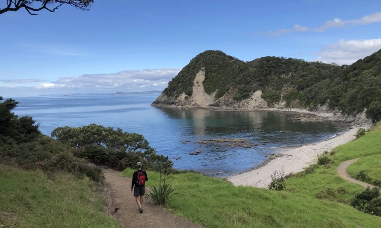
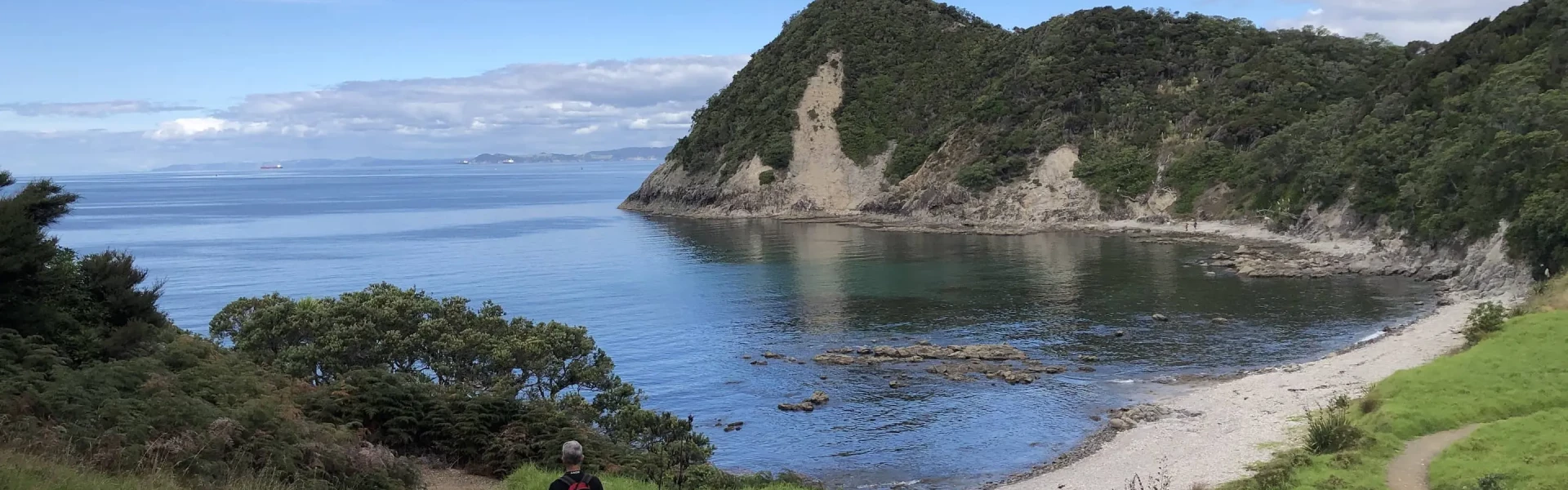
Walk on open grass fields and among grazing livestock on a gently undulating and easy to follow track before arriving at Smugglers Bay beach. Once the track leaves the beach it becomes well-formed and gradually climbs following the coastline towards Busby Head. A small detour leads to a spectacular viewpoint where there are breath-taking 360-degree views of Bream Bay. It is possible to skip this and head straight towards Home Point. The track continues under the forest canopy before re-emerging onto open grassland. The WWII gun emplacements ahead are easy to spot and explore. Finally, the grassy track takes you back to the carpark.
Care is needed as the track to the viewpoint is narrow and there are multiple rocky outcrops and steep drop offs Take care around protruding tree roots No dogs are allowed Livestock is present. Do not disturb the animals. Mountain biking is not permitted
From SH1, take Whangarei Heads Rd to Urquhart Bay Rd in Whangārei Heads. Turn right onto Urquhart Bay Rd to Urquharts Bay car park. Use this location in Google Maps to find your way there.
We encourage you to continue gaining the skills and knowledge required for a safe trip. The NZ Mountain Safety Council has lots of free resources and information you can use. These can be accessed via www.mountainsafety.org.nz . We recommend trying these online learning tools: Trip Planning Tramping / field Skills Basic Navigation River Safety Additionally, check out the range of helpful videos available from the NZ Mountain Safety Council YouTube channel .
No dogs.
Track information, access and weather can change. Confirm current alerts and land-manager information close to departure, tell someone your plans, and carry equipment appropriate for the route and conditions.