6 October 2026
Partly cloudy.
Loading outdoor place details…
Tararua Forest Park
Tramp to South Ohau Hut on Waiopehu Track, Dora Track and Yeates Track.
Distance
15.4 km
Walking time
7-8 hr
Difficulty
Advanced
Dogs
Allowed — check local rules
Wheelchair access
Not marked friendly
Current status
No active alerts found. Conditions can still change, so check again before leaving.
Weather outlook
Issued 5 Oct 2026, 9:24 pm
6 October 2026
Partly cloudy.
7 October 2026
Fine.
8 October 2026
Partly cloudy with isolated showers.
9 October 2026
Mostly cloudy with isolated showers.
10 October 2026
A few showers.
Regional guidance only; elevation and terrain can produce different conditions.
Explore the area
Explore the track route and surrounding area before you set out.
From Poads Road end, follow the track across private farmland to the park boundary, then follow Waiopehu Track as it climbs to Waiopehu Hut. Waiopehu Hut is 4-5 hours from Poads Road end. From the hut, continue up the track. It passes the summits of Waiopehu (1094 m) and Twin Peak (1097 m), then continues to Richards Knob (985 m). At the track junction at Richards Knob, follow the track along Dora Ridge, passing Butcher Saddle. At the track junction with Yeates Track, take Yeates Track, signposted to South Ohau Hut. Yeates Track descends steeply to South Ohau Hut. It takes around 1.5 hours from the Yeates Track junction to the hut. South Ohau Hut is near the confluence of South Ōhau River and Butchers Creek. Alternative route via Six Discs Track and Gable End Ridge Alternatively, turn off Waiopehu Track onto Six Discs Track and descend into the Ōhau valley. After crossing the bridge over Blackwater Stream, follow the track up Gable End Ridge to Richards Knob, then continue to South Ohau Hut as described above.
The Tararua Forest Park is well known for wild, fast-changing and unpredictable weather. Pack warm and waterproof clothing, even if the forecast is good. Carry emergency equipment including a torch, spare food, emergency shelter and a distress beacon. This track is a typical Tararua backcountry tramping track. It is rough and uneven, and you can expect to be scrambling up and over tree roots. Plan extra time in case the trip takes longer than you expect.
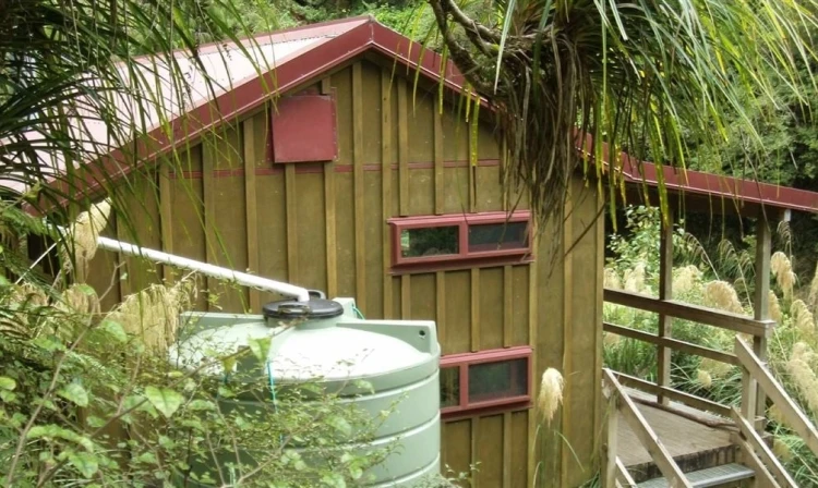
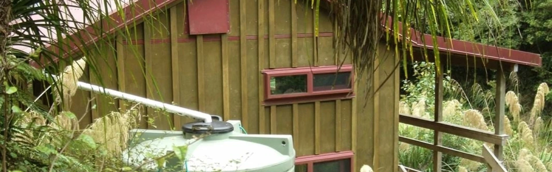
Waiopehu Hut South Ohau Hut
The track begins on Poads Road, behind Levin on the western side of the Tararua Forest Park. Use this location o n Google Maps to help find your way there.
We encourage you to continue gaining the skills and knowledge required for a safe trip. The NZ Mountain Safety Council has lots of free resources and information you can use. These can be accessed via www.mountainsafety.org.nz . Level up in your outdoor knowledge with these interactive online learning tools: Trip Planning Tramping / field Skills Basic Navigation River Safety Additionally, check out the range of helpful videos available from the NZ Mountain Safety Council YouTube channel .
Dogs allowed. Keep dog under control at all times.
Track information, access and weather can change. Confirm current alerts and land-manager information close to departure, tell someone your plans, and carry equipment appropriate for the route and conditions.