10 October 2026
Cloudy with the odd shower, then rain developing this evening, possibly heavy. Northeasterlies.
Loading outdoor place details…
Whangaroa area
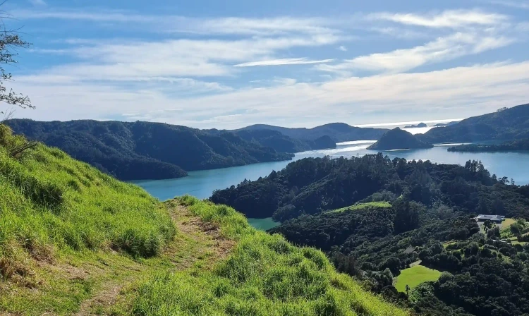
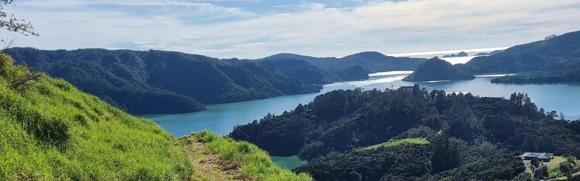
This track climbs up to St Paul's Rock, which stands high above Whangaroa township and provides spectacular views of the Whangaroa Harbour. It's suitable for those with moderate fitness.
Distance
1.2 km
Walking time
30 min one way
Difficulty
Easy
Dogs
Allowed — check local rules
Wheelchair access
Not marked friendly
Current status
No active alerts found. Conditions can still change, so check again before leaving.
Weather outlook
Issued 10 Oct 2026, 4:55 pm
10 October 2026
Cloudy with the odd shower, then rain developing this evening, possibly heavy. Northeasterlies.
11 October 2026
Mainly fine with showers before dawn, possibly heavy. Turning partly cloudy in the afternoon with the chance of a shower. Northwesterlies.
12 October 2026
Cloud clearing and becoming fine in the morning. Northerlies, turning westerly before dawn.
13 October 2026
Partly cloudy, with showers in the afternoon. Westerlies developing in the morning.
14 October 2026
Isolated showers, with increasing cloudy periods. Northwesterlies.
Regional guidance only; elevation and terrain can produce different conditions.
Explore the area
Explore the track route and surrounding area before you set out.
The track starts as a narrow dirt path beside a field, with St Paul’s Rock visible from the start. As you climb, you’ll pass a few stiles before the path steepens, with worn mud steps providing good footholds. At 450m, the incline increases, and the track narrows around the rock, and there are a couple of easy rocks you'll need to climb over. The views are stunning early on, so if you’re unsure about the final scramble, you’ll still see plenty. At 600m, you reach the chains, just after a short, potentially slippery rock section. The chained climb is brief and secure, with ample footholds. Beyond the chains, a short walk leads to the trig point. Sunset sets behind the island and marina, creating a beautiful scene. The summit is fully exposed, so bring an extra layer. The descent is steep in places, with the chains slightly trickier going down—backing down offers better stability. The rest of the track has footholds, with mud being the main challenge. We suggest shoes with good grip for this walk.
Head north on State Highway 10 to Kaeo. 4 km north of Kaeo, at the one-lane bridge, turn right and follow the river to the Whangaroa township. Turn right on to Old Hospital Road. You can access the track from the carpark at the end of Old Hospital Road. Use this location on Google Maps to help find your way there.
We encourage you to continue gaining the skills and knowledge required for a safe trip. The NZ Mountain Safety Council has lots of free resources and information you can use. These can be accessed via www.mountainsafety.org.nz . We recommend trying these online learning tools: Trip Planning Tramping / field Skills Basic Navigation River Safety Additionally, check out the range of helpful videos available from the NZ Mountain Safety Council YouTube channel
Dogs with a DOC permit for recreational hunting or management purposes only.
Track information, access and weather can change. Confirm current alerts and land-manager information close to departure, tell someone your plans, and carry equipment appropriate for the route and conditions.