10 October 2026
Mostly cloudy with showers, mainly about the ranges where some may be heavy. Northeasterlies, becoming strong in exposed places this afternoon.
Loading outdoor place details…
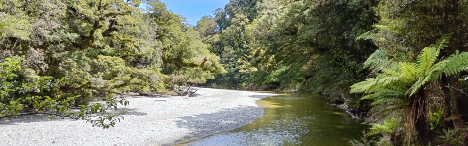
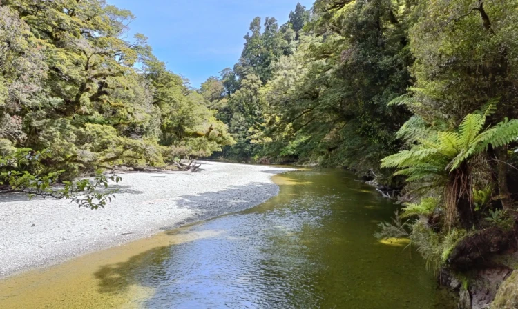
Jackson Bay - Gorge River area
The tracks and routes in the Stafford Bay area can be challenging and are recommended for fit and well-equipped trampers.
Distance
16.58 km
Walking time
4 hr one way
Difficulty
Expert
Dogs
Allowed — check local rules
Wheelchair access
Not marked friendly
Current status
No active alerts found. Conditions can still change, so check again before leaving.
Weather outlook
Issued 10 Oct 2026, 4:55 pm
10 October 2026
Mostly cloudy with showers, mainly about the ranges where some may be heavy. Northeasterlies, becoming strong in exposed places this afternoon.
11 October 2026
Showers, possibly heavy, retreating to the ranges in the afternoon, clearing in the evening. Northeasterlies, dying out in the afternoon.
12 October 2026
Fine. Northerlies developing for a time in the afternoon.
13 October 2026
Rain becoming persistent in the morning. Light winds.
14 October 2026
Rain with heavy falls easing to a few showers in the afternoon. Light winds.
Regional guidance only; elevation and terrain can produce different conditions.
Explore the area
Explore the track route and surrounding area before you set out.
From Jackson Bay the track initially ascends steeply to join a well-formed historic track to Smoothwater River. This section takes approximately 45 mins one way. From Smoothwater River you have the option of the inland or coastal routes. If planning on the coastal route follow the bush track downstream on the true right to Smoothwater Bay, this takes 1.5 hrs. You should plan to arrive at Smoothwater Bay 2 hrs before low tide to be able to navigate the coastal route. This route is not marked and should only be attempted by experienced parties. The hut book has many tales of hikers that have been caught out and had to swim sections. There is a rocky bluff section shortly after departing Smoothwater Bay that requires fording coastal pools. There are two additional sections further down the coast either side of Homminy Cove that also require great care. From Stafford Bay follow the Stafford River approximately 200m upstream to the hut which is located on the true left. The inland route has many river crossings and is for experienced back country parties with navigation skills. From the Smoothwater River junction head upstream, crossing the river as necessary until Kakapo Creek, the first major creek flowing in from the true left. Look for the orange marker and follow the marked track up Kakapo Creek. After an hour the markers veer right and start to ascend Stafford Saddle before dropping back down to a creek. Follow the creek bed downstream to meet Stafford River. Follow the Stafford River downstream to find markers on the true left leading to Stafford Hut.
Both routes require solid back country and navigation skills and should only be attempted by experienced parties. If intending on walking the coastal route, make sure to start this two hours before low tide.
Stafford Hut is a standard DOC hut. It has 6 bunks, a long drop and a fire. Hut tickets or the Backcountry hut pass are required to stay in this hut. They can be purchased at any DOC Visitor Centre. There is a DOC Visitor Centre located in Haast.
The track is located road side on the Haast-Jackson Bay Rd Use this location in Google Maps to find your way there.
We encourage you to continue gaining the skills and knowledge required for a safe trip. The NZ Mountain Safety Council has lots of free resources and information you can use. These can be accessed via www.mountainsafety.org.nz . We recommend trying these online learning tools: Trip Planning Tramping / field Skills Basic Navigation River Safety Additionally, check out the range of helpful videos available from the NZ Mountain Safety Council YouTube channel .
Dogs with a DOC permit only. Contact closest DOC office to get a permit.
Track information, access and weather can change. Confirm current alerts and land-manager information close to departure, tell someone your plans, and carry equipment appropriate for the route and conditions.