11 October 2026
Rain, heavy at times, easing to showers in the morning, then clearing to fine in the evening.
Loading outdoor place details…
Kahurangi National Park
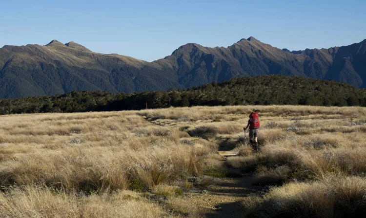
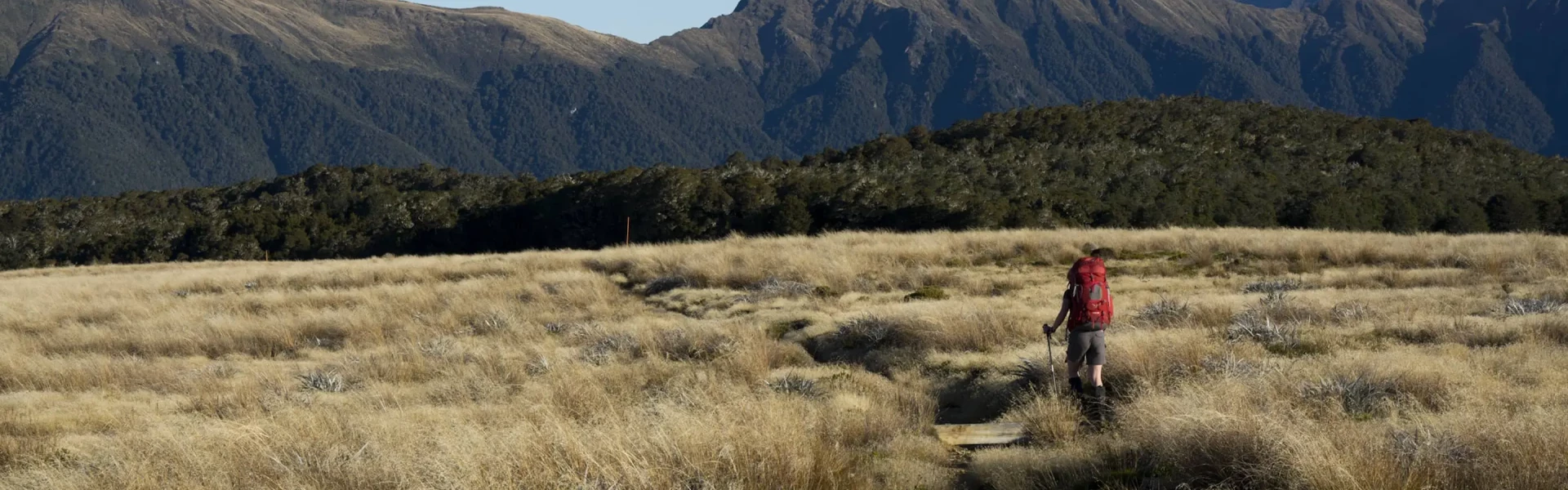
Rock shelters, an open tussock plateau and tops with superb views combine to make this an interesting overnight tramp.
Distance
28 km
Walking time
9 – 10 hr loop
Difficulty
Expert
Dogs
Not allowed
Wheelchair access
Not marked friendly
Current status
Weather outlook
Issued 10 Oct 2026, 9:23 pm
11 October 2026
Rain, heavy at times, easing to showers in the morning, then clearing to fine in the evening.
12 October 2026
Fine, but becoming mostly cloudy with isolated showers in the evening.
13 October 2026
A few showers.
14 October 2026
Rain, with heavy falls.
15 October 2026
Occasional rain.
Regional guidance only; elevation and terrain can produce different conditions.
Explore the area
Explore the track route and surrounding area before you set out.
Walking options A short walk from the road is Flora Hut - this would be great for smaller children. Walk as far as Lower Gridiron shelter (1 hour 30 minutes) and stay overnight in a rock overhang – great for children. For an easy overnight tramp that's good for older children, walk to Salisbury Lodge and explore nearby caves and potholes. Return via the same track. Complete the full Tableland Circuit (which can be walked in either direction). Flora car park to Flora Hut Time: Under 1 hour Start at Flora car park, which has a kiosk with information and a toilet. The track begins as a 4WD track, climbing gently to Flora Saddle, and then descending to Flora Hut. Flora Hut to Upper Gridiron Hut and Lower Gridiron Shelter Time: 1 hr 15 minutes Continuing past Flora Hut, the track undulates and gradually descends as it moves down the valley. Pass beneath the iconic archway labeled 'Gridiron Gulch' and venture uphill to Upper Gridiron Hut, perched on the left side of the track with a portion of its roof sheltered by natural rock formations. Just 100 meters ahead lies Lower Gridiron Shelter, featuring an open fire, table, and sleeping platform beneath a massive, protruding rock. Lower Gridiron Shelter to Salisbury Lodge Beyond Gridiron you’ll pass some beautiful pools in Flora Stream that are great for cooling off in summer if you can brave the sandflies. You’ll reach Upper Junction 25 min after Lower Gridiron Shelter. Take the left fork to Salisbury Lodge (the track from here is called Salisbury Track). The track passes Growler Shelter after about 30 minutes and the forest becomes ever sparser until you emerge suddenly on the tussocklands known as Salisbury’s Open. After a few hundred metres in the tussock a short deviation to the left will take you to Dry Rock Shelter (basic shelter, sleeping platform with four mattresses) Salisbury Lodge - Gordons Pyramid - Mt Arthur Hut - Flora car park Time: 5 - 6 hr Distance: 14 km This route is strenuous and exposed, requiring good visibility. The views are superb. There is no water, so you must carry your own. From Salisbury Lodge walk back to the Gordons Pyramid signpost. Follow the track through forest up to the bushline. A marked route then leads over Gordons Pyramid (1489 m). Cloustons Mine, an old mine, can also be accessed from this route by dropping down to the bushline from the top of Gordons Pyramid and following the track markers. Continuing on, the track follows a defined ridge before dropping into Horseshoe Basin. From here the route climbs up to the ridge above Mt Arthur Hut, then through forest to Flora car park. You can also walk past Mt Arthur Hut on Mt Arthur Walk to get back to the Flora car park.
The lowest elevation the track reaches is 800 m at Upper Junction. Make sure you prepare accordingly, even in summer, as freezing alpine conditions can occur at any time of year. Snow may lay for weeks through the cold months and spring snow is not uncommon. Do not rely on the weather forecast for the nearest town Motueka, as the alpine weather is likely to be drastically different.
Flora Hut Upper Gridiron Hut Salisbury Lodge Mt Arthur Hut
Flora car park is 75 km from Nelson and 36 km from Motueka. The Motueka Valley Highway links Nelson and Motueka. Turn off this road at Ngātīmoti and cross the Motueka River. Turn left onto Motueka River West Bank Road, then right into Graham Valley Road, which climbs steeply to the car park. The last 5.8 km is unsealed and turning a vehicle on the road can be difficult. 4WD is recommended at all times of the year. Use this location on Google Maps to help you find your way there.
We encourage you to continue gaining the skills and knowledge required for a safe trip. The NZ Mountain Safety Council has lots of free resources and information you can use. These can be accessed via www.mountainsafety.org.nz . We recommend trying these online learning tools: Trip Planning Tramping / field Skills Basic Navigation River Safety Additionally, check out the range of helpful videos available from the NZ Mountain Safety Council YouTube channel
No dogs.
Track information, access and weather can change. Confirm current alerts and land-manager information close to departure, tell someone your plans, and carry equipment appropriate for the route and conditions.