10 October 2026
Partly cloudy with the chance of a shower. Light winds.
Loading outdoor place details…
Hutt Valley
An easy loop that takes in native forests, waterfalls and historic Remutaka railway sites.
Distance
2.3 km
Walking time
60 min
Difficulty
Easiest
Dogs
On-lead only
Wheelchair access
Not marked friendly
Current status
No active alerts found. Conditions can still change, so check again before leaving.
Weather outlook
Issued 10 Oct 2026, 4:55 pm
10 October 2026
Partly cloudy with the chance of a shower. Light winds.
11 October 2026
Showers, clearing to fine spells early afternoon, then clouding over towards evening with drizzle on the ranges. Northerlies.
12 October 2026
Mainly fine, isolated showers at night. Northerlies.
13 October 2026
Occasional rain. Northwesterlies.
14 October 2026
Rain becoming persistent in the morning. Northwesterlies.
Regional guidance only; elevation and terrain can produce different conditions.
Explore the area
Explore the track route and surrounding area before you set out.
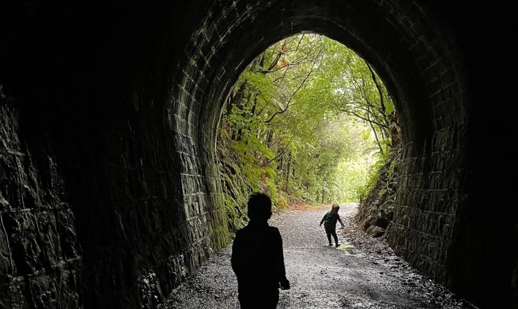
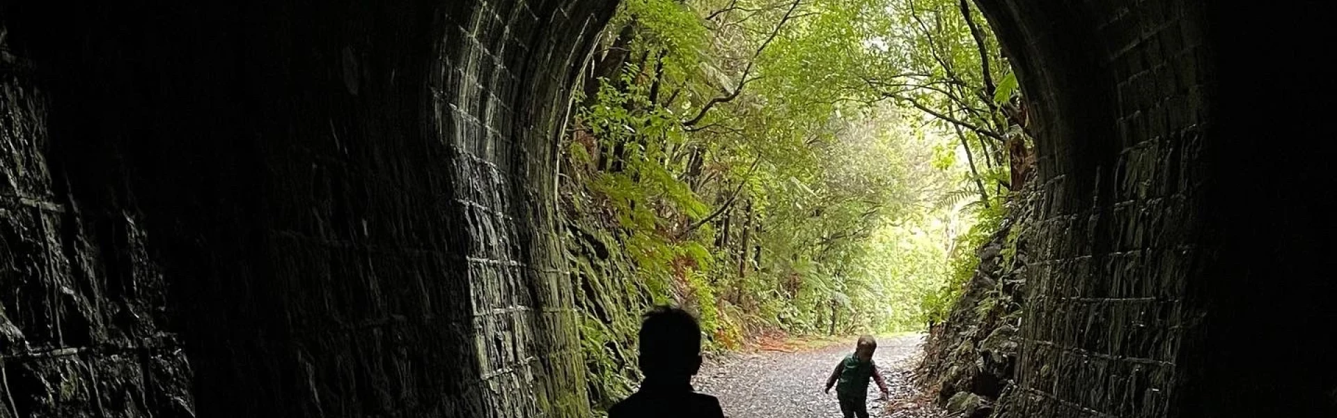
Starting from the Tunnel Gully carpark Tane's Track is a leisurely one-hour walking route that winds its way through native bush to Mount Climie and back. The left-hand branch of the track from the lower picnic area takes you through tall rimu, mātai, kahikatea and tawa forest. From there, cross the road that once formed the old Remutaka railway line, and climb through black beech forest up to Collins Stream and a beautiful waterfall. Shortly after you start your descent, you'll cross the Mount Climie access road and a grove of eucalyptus trees. This was once the campsite for the workers who built the nearby Mangaroa Railway Tunnel, complete in 1877. From here, it’s just a short walk through podocarp and tawa back to the lower picnic area.
Tane’s Track is accessible from two parking areas. One is situated at the end of Plateau Road . This parking area has multiple parks and accesses the lower section of Tane’s Track. Continuing on Plateau Road, you’ll reach the Remutaka Rail Trail Road , where another parking area accesses the trail's upper and lower sections. There is no designated mobility parking at either car park. Use this location in Google Maps to find your way there.
Entry/Exit Access Points: Entry and exits to both the lower and upper sections of Tane's Trak are unrestricted. There is a squeeze gate at the Remutaka Rail Trail Road carpark entrance. This can be avoided by entering via the domain – a path tracks past the public toilets onto the grass, reconnecting with the lower section of the trail. Facilities: There are accessible toilets near the Plateau Road and Remutaka Trail Road car parks. Pinch Points: The upper section of Tane’s Track has pinch points between trees of less than 50cm. These are experienced before reaching Tane’s Waterfall when heading clockwise. Heading in a Counterclockwise direction, the upper section has 70cm pinch points between tree roots and 90cm wide bridge and boardwalks. Steps: The upper trail requires navigating wood block steps around tree roots. Gradient: The lower section of Tane’s track has a slight gradient. The Upper Section has a similar gradient but is more technical, with some short steep climbs over rocks and tree roots. Surface: Tane’s track is mostly compacted dirt and gravel. It has multiple wood and mesh bridges and boardwalks. The trail passes through ancient Kahikatea trees, known for their elaborate roots, which are present along the track. Safety: Both sections of Tane’s Track are walking access only. Care is needed to navigate trip hazards involving tree roots and some lips on boardwalks. Seats: Picnic tables and seating are available in the domain area adjacent to the Remutaka Rail Trail Road carpark. The trail features two seats in the upper section, one beneath a Kahikatea and another at the waterfall lookout. There are perch spots along the trail. Signage: Detailed maps are available within a shelter at the Plateau Road car park. The recreation area has many well-signposted trails, including distances and estimated times. ----- See more accessibility information and photos on Accessibel
We encourage you to continue gaining the skills and knowledge required for a safe trip. The NZ Mountain Safety Council has lots of free resources and information you can use. These can be accessed via www.mountainsafety.org.nz . We recommend trying these online learning tools: Trip Planning Tramping / field Skills Basic Navigation River Safety Additionally, check out the range of helpful videos available from the NZ Mountain Safety Council YouTube channel .
Yes (on lead)
Track information, access and weather can change. Confirm current alerts and land-manager information close to departure, tell someone your plans, and carry equipment appropriate for the route and conditions.