11 October 2026
Fine, apart from showers before dawn, then some cloud in the west from afternoon. Northerlies changing westerly in the morning, dying out early evening.
Loading outdoor place details…
Whangārei area
A challenging walk across a ridge and through beautiful native forest.
Distance
8.9 km
Walking time
4–5 hr loop
Difficulty
Advanced
Dogs
Not allowed
Wheelchair access
Not marked friendly
Current status
No active alerts found. Conditions can still change, so check again before leaving.
Weather outlook
Issued 10 Oct 2026, 11:01 pm
11 October 2026
Fine, apart from showers before dawn, then some cloud in the west from afternoon. Northerlies changing westerly in the morning, dying out early evening.
12 October 2026
Partly cloudy. Westerlies.
13 October 2026
Partly cloudy, with isolated showers in the afternoon and evening. Northwesterlies.
14 October 2026
Partly cloudy with isolated showers developing in the morning. Northwesterlies.
15 October 2026
Occasional rain, clearing. Northerlies, turning westerly.
Regional guidance only; elevation and terrain can produce different conditions.
Explore the area
Explore the track route and surrounding area before you set out.
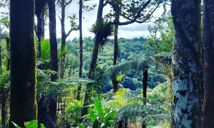
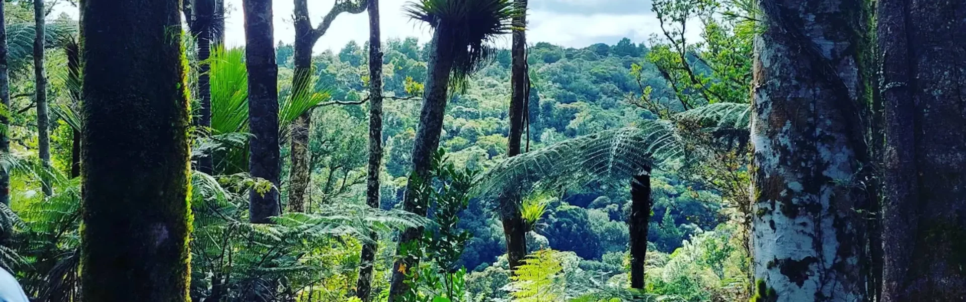
Start from the car park and follow the gravel walkway. Pass through the first gate into the "Kiwi Area" and continue along the gravel path. Shortly, you'll reach a second gate—head through and follow the orange triangle markers (not the pink ones that indicate a trap line). The initial section is an easy walk on well-maintained trails, with a few rough spots but mostly smooth terrain. The early ascents and descents are manageable, often featuring new steps for easier navigation. The trail then becomes more technical, though some steps and boardwalks remain. At the 5 km mark, you'll reach a signed intersection. Turn right onto the Taraire Ridge Track to continue the route (or for a longer walk (10.7 km) take the Pukenui Forest Loop Track which also ends back up at the start). From here, the trail transforms into a rugged and challenging path, with steep ascents and descents, countless tree roots, small stream crossings, and plenty of mud—everything a trail enthusiast could hope for! Keep an eye on the orange triangle markers, as the trail can be hard to discern in places. Gradually, the loop brings you back to the first gate near the start. Before finishing, don’t miss the second large kauri tree, located not far from the end. Taraire trees, large forest trees with dark green oval leathery leaves and dark purple fruit, dominate sections of this track. Their smooth dark brown bark often appears greyish due to lichen growth.
Dogs, horses, firearms and fires are not allowed. There may be wasps and wasp nests in the area. Stick to the marked tracks to protect our precious kauri trees.
The 1500 hectares Western Hills and Pukenui Forest area is located right on Whangārei’s western doorstep. Pukenui Forest tracks are signposted on Three Mile Bush Road, approximately 4 km from the Kamo traffic lights in Whangārei. You can see the entrance sign almost opposite Rotomate Road or on Amalin Drive. Use this location on Google Maps to help find your way there.
We encourage you to continue gaining the skills and knowledge required for a safe trip. The NZ Mountain Safety Council has lots of free resources and information you can use. These can be accessed via www.mountainsafety.org.nz . We recommend trying these online learning tools: Trip Planning Tramping / field Skills Basic Navigation River Safety Additionally, check out the range of helpful videos available from the NZ Mountain Safety Council YouTube channel
No dogs.
Track information, access and weather can change. Confirm current alerts and land-manager information close to departure, tell someone your plans, and carry equipment appropriate for the route and conditions.