10 October 2026
Cloudy periods with the odd shower, mainly about the ranges. Northerlies.
Loading outdoor place details…
Mount Maunganui
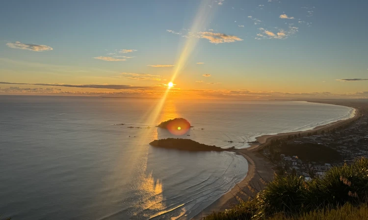
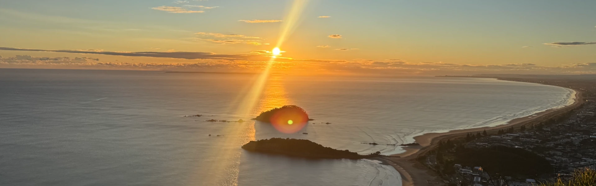
Mauao fully closed due to large slips. This track leads to Te Tihi o Mauao (the summit of Mauao / Mount Maunganui) to take in breathtaking views across Te Awanui, surrounding islands and Te Moana nui a Kiwa (Pacific Ocean).
Distance
4 km
Walking time
1 hr 30 min return
Difficulty
Easy, Intermediate
Dogs
Not allowed
Wheelchair access
Not marked friendly
Current status
Mauao is fully closed to the public until further notice due to large slips that have made the area unsafe. Recent severe weather has significantly destabilised the maunga, creating an ongoing risk of further slips and falling debris. Due to the heightened risk to public safety, all tracks, access points, and surrounding areas of Mauao are closed while the considerable damage is assessed. Fencing is being installed and secured at key entry points, with signage and barriers in place at all closure points to prevent public access. Security will also be present to monitor the closure and ensure public safety. The closure will remain in place while conditions continue to be monitored, and any necessary remediation work is undertaken. The public is strongly advised not to enter Mauao or attempt to bypass fencing or barriers. Please respect all signs and closures, as these measures are in place for your safety. Issued: 22 January 2026 by Tauranga City Council
Weather outlook
Issued 10 Oct 2026, 4:55 pm
10 October 2026
Cloudy periods with the odd shower, mainly about the ranges. Northerlies.
11 October 2026
Showers, possibly heavy, clearing in the afternoon with increasing fine spells. Periods of rain developing west of Tauranga late evening. Northerlies, turning westerly in the afternoon.
12 October 2026
A few showers. Northwesterlies developing for a time in the afternoon.
13 October 2026
Partly cloudy, with isolated showers clearing in the evening. Northwesterlies developing in the morning.
14 October 2026
Mostly cloudy with a few showers developing in the morning. Northwesterlies developing in the morning.
Regional guidance only; elevation and terrain can produce different conditions.
Explore the area
Explore the track route and surrounding area before you set out.
Te Ara Motukauri to Te Tihi o Mauao/Pilot Bay to Mount Maunganui Summit begins at the end of Pilot Bay and provides a walking route to the summit. The track can be steep and slippery in places, with no stairs, and there is a steep shingle road to reach the very top. From the vantage point, you can take in sweeping views of the Western Bay of Plenty - stretching from Pāpāmoa and beyond, across Tauranga Harbour and Matakana Island, to Bowentown and Waihī Beach. The Kaimāī Ranges rise behind Tauranga, while the Pacific Ocean extends endlessly to the horizon.
Mauao is fully closed to the public until further notice due to large slips that have made the area unsafe. Recent severe weather has significantly destabilised the maunga, creating an ongoing risk of further slips and falling debris. Due to the heightened risk to public safety, all tracks, access points, and surrounding areas of Mauao are closed while the considerable damage is assessed. Fencing is being installed and secured at key entry points, with signage and barriers in place at all closure points to prevent public access. Security will also be present to monitor the closure and ensure public safety. The closure will remain in place while conditions continue to be monitored, and any necessary remediation work is undertaken. The public is strongly advised not to enter Mauao or attempt to bypass fencing or barriers. Please respect all signs and closures, as these measures are in place for your safety.
No dogs allowed.
Track information, access and weather can change. Confirm current alerts and land-manager information close to departure, tell someone your plans, and carry equipment appropriate for the route and conditions.