10 October 2026
Partly cloudy with the chance of a shower. Light winds.
Loading outdoor place details…
Porirua
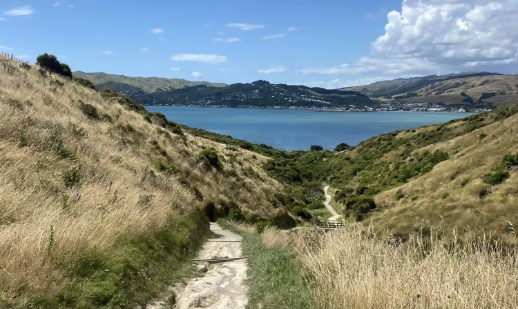
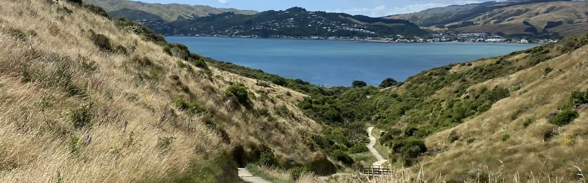
Walk or ride through the active restoration area for great views out over Onehunga Bay. The well-maintained track offers beaches, meadows, steep trails, wooded areas, and sweeping views of the harbour and Mana Island.
Distance
4.62 km
Walking time
1 hr 20 min
Difficulty
Easy
Dogs
On-lead only
Wheelchair access
Not marked friendly
Current status
No active alerts found. Conditions can still change, so check again before leaving.
Weather outlook
Issued 10 Oct 2026, 4:55 pm
10 October 2026
Partly cloudy with the chance of a shower. Light winds.
11 October 2026
Showers, clearing to fine spells early afternoon, then clouding over towards evening with drizzle on the ranges. Northerlies.
12 October 2026
Mainly fine, isolated showers at night. Northerlies.
13 October 2026
Occasional rain. Northwesterlies.
14 October 2026
Rain becoming persistent in the morning. Northwesterlies.
Regional guidance only; elevation and terrain can produce different conditions.
Explore the area
Explore the track route and surrounding area before you set out.
Th is dog friendly loop track heads up the hill from Onehunga Bay down through the inland valley to Te Onepoto Bay . From here it circles left back around the coast to the start point. A branch track from Te Onepoto Bay takes you to the Onepoto Bay carpark, 1 km away.
Amenities There are toilets at the Onepoto road carpark open 24hr as well as in Onehunga bay which are open 6am till park closing. There’s a designated mobility car park outside the toilets, however the toilets are not wheelchair accessible. There are no water-filling facilities. Whitireia is a dog friendly park. Sections of the track are dogs on lead, especially around the coast during Penguin breeding season, but the rest of the park is off lead – under control. The park has a Ranger service, onsite times vary. Be aware There is no shelter along the coastal trail – prepare for sun and wind. Always watch children near the water and of steep sections of the track. The park has moderately steep hills and is exposed in places. No camping, fires or motorbikes permitted. Gas BBQ’s are ok.
Thornley street entrance: Turn off state highway 1 at Porirua and follow Titahi Bay Road to the end of main road. Turn right into Bay Drive and then left into Thornley Street, then left into Whitireia Road and enter the park. Follow the road through down to the beach and turn right into the large public car park at the end of Whitireia Rd , with a designated mobility park closest to the picnic bench and beach Onepoto entrance: The loop is also accessible via a connecting track starting at Te Onepoto Rd with on-street parking. Public transport: From Porirua train station catch the route 220 to the bus stop at the bottom of Gloaming hill and access the track via the Onepoto entrance.
Pinch Points: Three-quarters of the track is between 80-100cm wide, apart from the southernmost coastal section where erosion has removed large sections of track. If heading clockwise the beginning of the eroded section is marked by a chicane styled barrier. There's a slip on the elevated section of the trail, narrowing the track to 80cm wide. Turning Radius: The coastal section of Te Onepoto feature wide sweeping corners. The elevated section winds up the hills with some corners less than 4m turning radius. There are three barriers which make sections of the track inaccessible, there is turning room at these points of no return. Entry/Exit Access: Te Onepoto Loop has three motorcycle barriers. Two are chicane-styled barriers, with 50cm wide clearance. The first of the chicanes is situated 10mins from the car park, heading clockwise. The newer squeeze and crochet-style gate is a few minute along the track heading counterclockwise. Steps: There are no steps along the Te Onepoto Loop. Gradient: Two-thirds of Te Onepoto Loop is flat, as it follows the coastline. The inland connection climbs to an elevation of 60m. Starting the track in a counter-clockwise direction presents an extremely steep climb to reach this elevation. Travelling clockwise, the climb is steady as it winds up from the Whitireia Park Bridge. Surface: The trail is a mix of surfaces. Heading clockwise, there is a long section of grass before transitioning to compacted gravel. Along the compacted gravel sections are intermittent wide grass sections with track ruts. The southern coastal section, where the track has eroded, is mostly loose gravel. The elevated section is compacted gravel with some patches of exposed rocks and ruts and open boxed drains. Safety: Care needs to be taken on the steep section – the new seal has loose gravel, which, coupled with the steep gradient, can be slippery. The elevated section of the track includes multiple uncovered drains. This is a shared walking and biking track. Facilities: Before reaching the main Whitireia Rd car park, toilet facilities are available. There’s a designated mobility car park outside the toilets. The toilets are not accessible. There are no water-filling facilities. Seats: The trail provides a picnic table at the carpark and seat approximately 1km from the start when heading clockwise. Signage: The main track sign shows a map and important information on track times, distances, and other location-specific information. There is minimal wayfinding signage, but the loop is easy to follow, with only one branch track via the bridge to Te Onepoto Rd. ----- See more accessibility information and photos on Accessibel A video ride through of this trail is available at AdaptMTB . The trail has been assessed as Adaptive Mountain Biking Grade 5
We encourage you to continue gaining the skills and knowledge required for a safe trip. The NZ Mountain Safety Council has lots of free resources and information you can use. These can be accessed via www.mountainsafety.org.nz . We recommend trying these online learning tools: Trip Planning Tramping / field Skills Basic Navigation River Safety Additionally, check out the range of helpful videos available from the NZ Mountain Safety Council YouTube channel .
Yes (on lead)
Track information, access and weather can change. Confirm current alerts and land-manager information close to departure, tell someone your plans, and carry equipment appropriate for the route and conditions.