10 October 2026
Scattered showers, possibly heavy and thundery with hail, easing this evening.
Loading outdoor place details…
Craigieburn Forest Park
From the Water Intake Road to Castle Hill Village
Distance
3 km
Walking time
45 mins
Difficulty
Intermediate
Dogs
Allowed — check local rules
Wheelchair access
Not marked friendly
Current status
No active alerts found. Conditions can still change, so check again before leaving.
Weather outlook
Issued 10 Oct 2026, 9:23 pm
10 October 2026
Scattered showers, possibly heavy and thundery with hail, easing this evening.
11 October 2026
Showers about the Divide, clearing in the evening, otherwise fine.
12 October 2026
Fine.
13 October 2026
Partly cloudy with isolated showers.
14 October 2026
Rain, with heavy falls.
Regional guidance only; elevation and terrain can produce different conditions.
Explore the area
Explore the track route and surrounding area before you set out.
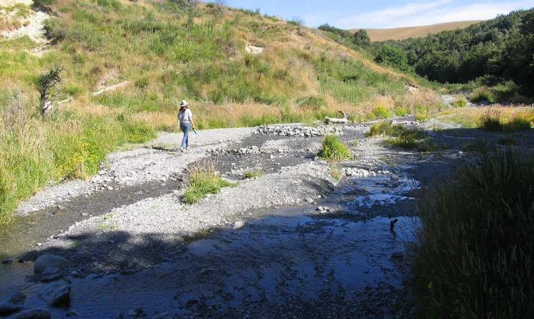
Begin your hike at the carpark, following Water Intake Road westwards. Follow this road for approximately 850 meters, keeping to the right when you encounter a fork. As you continue, the road gradually gets closer to Thomas River, and you’ll eventually notice a small clearing. If it’s safe, you can cross the river at this point; however, be cautious as the water level can rise rapidly during rainfall. Avoid crossing if the river is high or discoloured. After crossing, the track takes an immediate left turn, leading you along the forested lower river terrace downstream. After walking for 550 meters, you’ll come across St Andrews College Lodge Rd. Cross it and continue along the higher river terrace. Another 500 meters will bring you to the junction with the Leith Hill Loop track. From here, prepare for a zig-zag descent to the river. Once you’ve crossed the river, the track climbs up the opposite side and leads you into Castle Hill Village. Finally, the track ends at Trelissick Loop Rd. Turn left and walk 220 meters to reach Castle Hill Drive. From there, turn left again and walk 300 meters to return to the carpark. Enjoy your hike through this picturesque landscape!
The track description suggests starting from Thomas Bush car park. This carpark is located about 200 m beyond the end of the Castle Hill village on Castle Hill Drive. Use this location in Google Maps to find your way there. Alternatively, it can also be started from Trelissick Loop Rd.
We encourage you to continue gaining the skills and knowledge required for a safe trip. The NZ Mountain Safety Council has lots of free resources and information you can use. These can be accessed via www.mountainsafety.org.nz . Level up in your outdoor knowledge with these interactive online learning tools: Trip Planning Tramping / field Skills Basic Navigation River Safety Additionally, check out the range of helpful videos available from the NZ Mountain Safety Council YouTube channel .
Dogs allowed. Keep dog under control at all times.
Track information, access and weather can change. Confirm current alerts and land-manager information close to departure, tell someone your plans, and carry equipment appropriate for the route and conditions.