10 October 2026
Cloud increasing, then showers from around midday, possibly heavy and thundery inland. Northeasterlies developing in the morning.
Loading outdoor place details…
Paparoa National Park
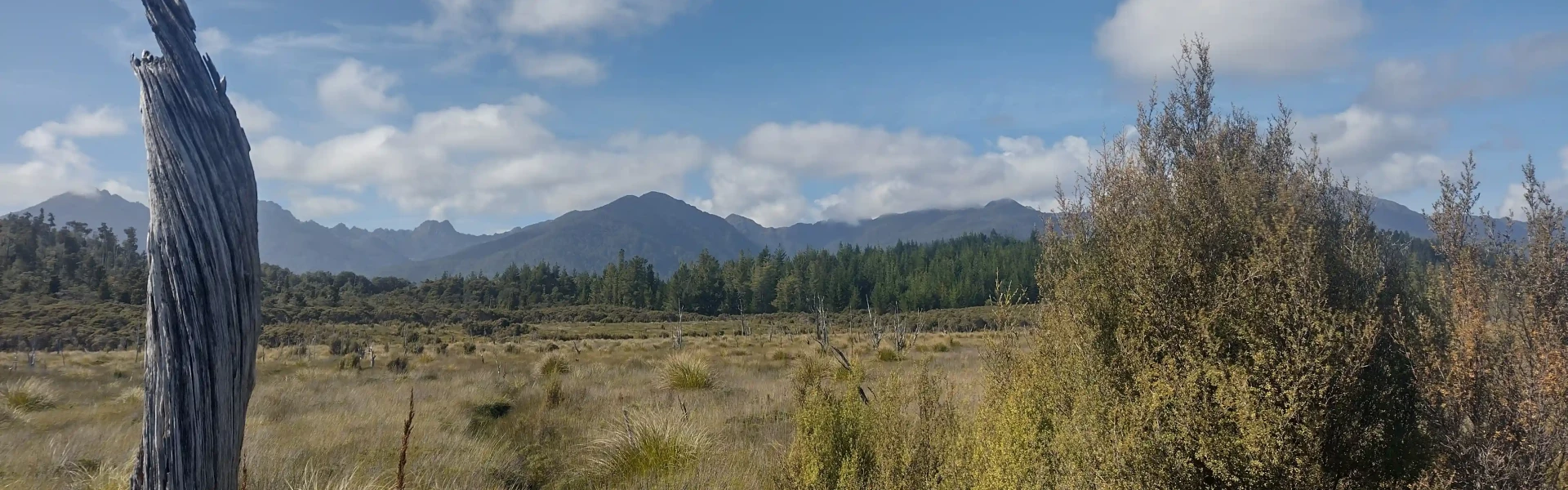
Follow a historic tramway through Tiropahi gorge to an open pakihi.
Distance
10 km
Walking time
3 hrs
Difficulty
Advanced
Dogs
Not allowed
Wheelchair access
Not marked friendly
Current status
No active alerts found. Conditions can still change, so check again before leaving.
Weather outlook
Issued 10 Oct 2026, 5:00 am
10 October 2026
Cloud increasing, then showers from around midday, possibly heavy and thundery inland. Northeasterlies developing in the morning.
11 October 2026
A few showers, clearing in the evening. Northerlies, dying out in the evening.
12 October 2026
Fine. Light winds.
13 October 2026
Occasional rain. Light winds.
14 October 2026
Rain with heavy falls easing. Northerlies, dying out.
Regional guidance only; elevation and terrain can produce different conditions.
Explore the area
Explore the track route and surrounding area before you set out.
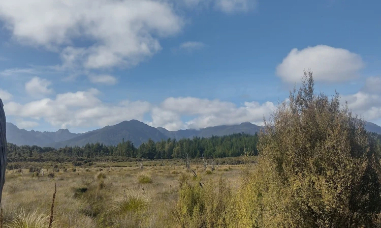
From the carpark, follow the short 4WD track to reach the Four Mile/Tiropahi River. Once there, cross the river and proceed along the established track for a distance of 5 km. It's important to note that there is no clearly marked endpoint for this track. When you encounter the open pakihi, which consists of boggy land with rushes and ferns, you have reached the end of the track managed by the Department of Conservation (DOC). To return, retrace your steps along the same track.
Expect challenging track conditions Some sections of the track have steep banks. Always stick to the track and ensure children are supervised at all times. Stay safe when crossing rivers A river crossing is required at the start of the track. This can be uncrossable during or after heavy rain. Do not cross if the river is flooded, you cannot find safe entry and exit points or are unsure if it’s safe. If in doubt, stay out. How to cross rivers safely
The track can be found 8 km to the south of Charleston or 21 km to the north of Punakaiki on SH6. There are clear signposts indicating the track's location from the highway. To access the track, there is a car park situated 200 m away from SH6. However, please be aware that the gravel road leading to the car park may become impassable during or after heavy rainfall. At these times, you shouldn't cross the river, so choose another track such as Pororari River Track . Use this location in google maps to find your way there.
We encourage you to continue gaining the skills and knowledge required for a safe trip. The NZ Mountain Safety Council has lots of free resources and information you can use. These can be accessed via www.mountainsafety.org.nz . We recommend trying these online learning tools: Trip Planning Tramping / field Skills Basic Navigation River Safety Additionally, check out the range of helpful videos available from the NZ Mountain Safety Council YouTube channel .
No dogs.
Track information, access and weather can change. Confirm current alerts and land-manager information close to departure, tell someone your plans, and carry equipment appropriate for the route and conditions.