09 October 2026
Mainly fine but the chance of an inland afternoon or evening shower. Areas of low cloud or fog possible at night. Light winds but easterlies about the coast for a time this afternoon.
Loading outdoor place details…
Waikaia Forest Conservation Area
This marked route offers excellent views from above the bush line.
Distance
15 km
Walking time
7 hr
Difficulty
Expert
Dogs
Allowed — check local rules
Wheelchair access
Not marked friendly
Current status
No active alerts found. Conditions can still change, so check again before leaving.
Weather outlook
Issued 9 Oct 2026, 4:49 pm
09 October 2026
Mainly fine but the chance of an inland afternoon or evening shower. Areas of low cloud or fog possible at night. Light winds but easterlies about the coast for a time this afternoon.
10 October 2026
Areas of low cloud or fog in the morning and again at night, otherwise partly cloudy with isolated afternoon and evening showers. Easterlies about the coast for a time in the afternoon.
11 October 2026
Fine, but becoming mostly cloudy with isolated showers in the evening. Northerlies, turning westerly in the afternoon.
12 October 2026
Fine. Northwesterlies developing in the morning.
13 October 2026
Showers developing in the morning. Northwesterlies, dying out in the evening.
Regional guidance only; elevation and terrain can produce different conditions.
Explore the area
Explore the track route and surrounding area before you set out.
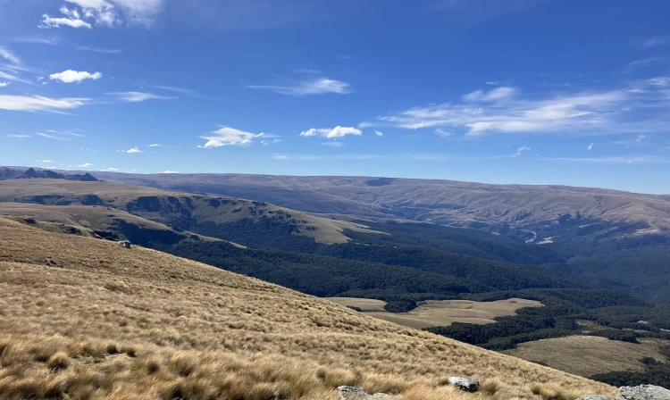
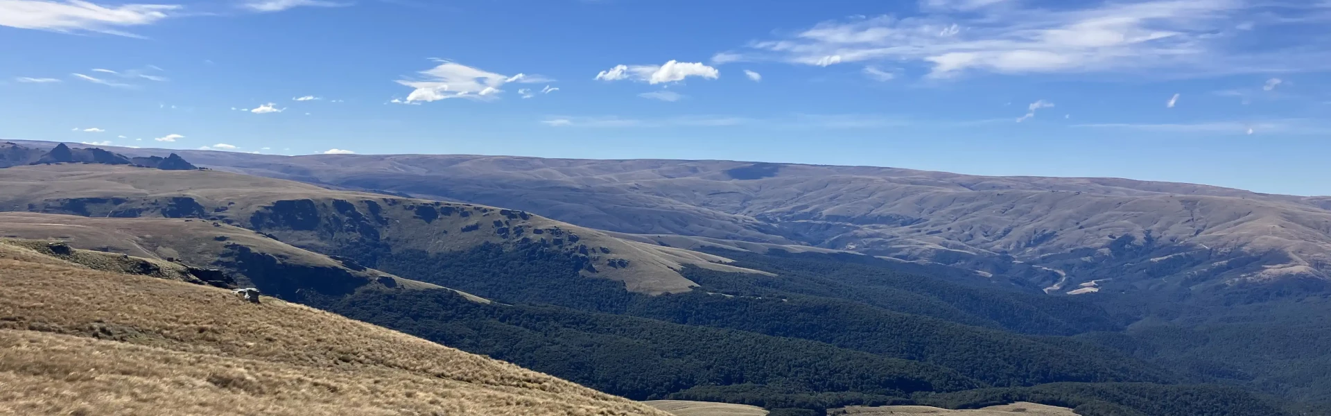
The Titan Rocks Track branches off the Waikaia River Track on the true right of the Waikaia River. Cross the swingbridge over the Waikaia River, and follow the Waikaia River Track, continue upstream for about 1800 metres to reach the start of the Titan Rocks Track. The track itself is wide and well-formed, although ferns, snowgrass and tree-fall can cover the track so keep an eye on the path. It climbs steeply above the stream, gaining 300 metres in just 1 kilometre, passing stands of mature beech and young tōtara. You’ll also pass remnants of two old water races and what may have been a hut site. Around the 500-metre mark, the track dips to cross two streams which are both good spots to refill water bottles. A few open clearings follow before the track enters stunted mountain beech draped in lichen. You’ll reach the bushline at around 900 metres. From here, a poled route continues through snow grass. The ground is soft and often slippery, which slows progress on the final climb. The last 300 metres to the top is a steep uphill push, but well worth the effort. At the top, Titan Rocks is an impressive sprawl of tors and rocky outcrops scattered across the open tops like a natural Stonehenge. It’s a great place to stop for lunch and take in views of the Umbrella Mountains, Waikaia Forest, and surrounding valleys. You can explore around the outcrops among the red tussock before turning back. Once you’re off the snow grass, it’s an easy walk back to the bottom.
The track starts from Piano Flat Road, Waikaia - situated 54 km north of Gore beside the Waikaia River. Use this location on Google Maps to help find your way there.
We encourage you to continue gaining the skills and knowledge required for a safe trip. The NZ Mountain Safety Council has lots of free resources and information you can use. These can be accessed via www.mountainsafety.org.nz . We recommend trying these online learning tools: Trip Planning Tramping / field Skills Basic Navigation River Safety Additionally, check out the range of helpful videos available from the NZ Mountain Safety Council YouTube channel
Dogs with a DOC permit only. Contact closest DOC office to get a permit.
Track information, access and weather can change. Confirm current alerts and land-manager information close to departure, tell someone your plans, and carry equipment appropriate for the route and conditions.