10 October 2026
Cloudy with scattered showers developing this afternoon, possibly heavy and thundery with hail, mainly about the foothills.
Loading outdoor place details…
Hakatere Conservation Park
Walk this track for a family-friendly overnight or day tramp to Woolshed Creek Hut, on one end of the Mt Somers Track.
Distance
4.9 km
Walking time
3 hr
Difficulty
Intermediate
Dogs
Not allowed
Wheelchair access
Not marked friendly
Current status
No active alerts found. Conditions can still change, so check again before leaving.
Weather outlook
Issued 10 Oct 2026, 7:33 am
10 October 2026
Cloudy with scattered showers developing this afternoon, possibly heavy and thundery with hail, mainly about the foothills.
11 October 2026
About the Divide: Showers, possibly heavy in the morning, clearing in the evening. Elsewhere: mainly fine but the odd afternoon shower.
12 October 2026
Fine.
13 October 2026
Showers developing.
14 October 2026
Rain turning to showers. Snow lowering to 1900 metres.
Regional guidance only; elevation and terrain can produce different conditions.
Explore the area
Explore the track route and surrounding area before you set out.
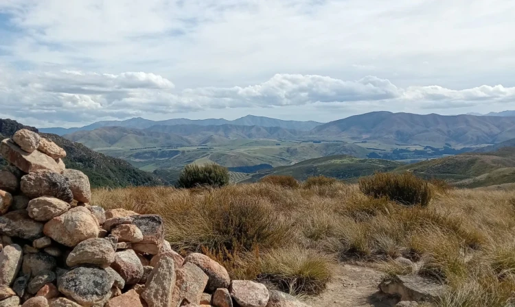
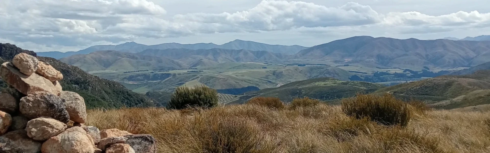
The track begins at Woolshed Creek car park at the end of Jig Road, following a historic tramway alongside Woolshed Creek through scenic beech forest. It then climbs steeply alongside a hand-built jig that once transported coal from Blackburn Mine to waiting railway wagons below. The track levels out at the site of the old Blackburn Mine, a great spot for a break, with historic relics and a reconstructed mine entrance. It takes about an hour to reach this point from the track entrance. From the mine, the track continues upward to a high point at Trig R (934 m), offering superb views of the upper Ashburton Gorge, before descending to Woolshed Creek Hut . Alternative routes: The Miners Track with the 4WD detour This is the easiest track to Woolshed Creek Hut. You will reach a fenceline with an open gate (after the mine) Straight ahead is a big hill (the original track) and to the left you will see a well trodden path through the tussock.(it isn’t signposted) Turn left here and follow this trail for about 5-10 minutes until you hit the 4WD trail. Turn right on this 4WD track and follow it all the way to Woolshed Creek. The Rhyolite Track via the Bus Stop This is a more challenging route and not recommended for beginners or those with young children. Starting at Woolshed Creek Car Park, cross the bridge and begin a steep ascent over loose scree and unstable stones. The track undulates with several climbs and steep descents, making for a demanding but varied hike. Along the way, you’ll pass the well-known Bus Stop, cross a few creeks, navigate a narrow one-person bridge, and have the option to take a detour to a waterfall. Expect this route to take 4–5 hours one way. While more difficult, the track offers diverse terrain. For a longer adventure, consider creating a loop by hiking in via one track and out via the other.
The Mount Somers area is an alpine environment and bad weather can occur at any time of the year. The area can be extremely hot and dry, and at others times can experience freezing cold, high winds, heavy rain and snow. There is no tree cover on parts of the track and you are fully exposed to the weather. There can be deep snow and ice on Mount Somers Track in winter. This includes snow in the Woolshed Creek area. During winter conditions, Mount Somers Track is a trip best suited to experienced and well-equipped trampers, with the skills and gear to safely tramp in snow. Wasps may be present in high numbers, particularly during summer. Consider carrying an antihistamine product and if you are allergic to stings, ensure you bring your medication.
From Mount Somers township, follow Ashburton Gorge Road for approximately 10 km before turning right into Jig Road. Follow Jig Road to the end. There is no 4WD access to Woolshed Creek Hut. Use this location in Google Maps to find your way there.
We encourage you to continue gaining the skills and knowledge required for a safe trip. The NZ Mountain Safety Council has lots of free resources and information you can use. These can be accessed via www.mountainsafety.org.nz . Level up in your outdoor knowledge with these interactive online learning tools: Trip Planning Tramping / field Skills Basic Navigation River Safety Additionally, check out the range of helpful videos available from the NZ Mountain Safety Council YouTube channel .
No dogs.
Track information, access and weather can change. Confirm current alerts and land-manager information close to departure, tell someone your plans, and carry equipment appropriate for the route and conditions.