09 October 2026
Partly cloudy, with morning valley fog about the eastern hill country. The odd shower from afternoon. Light winds and sea breezes.
Loading outdoor place details…
Waitōtara Conservation Area
Follow the Waitōtara River to Trains Hut.
Distance
29.7 km
Walking time
4-5 hours each way
Difficulty
Advanced
Dogs
Not allowed
Wheelchair access
Not marked friendly
Current status
Weather outlook
Issued 9 Oct 2026, 10:24 am
09 October 2026
Partly cloudy, with morning valley fog about the eastern hill country. The odd shower from afternoon. Light winds and sea breezes.
10 October 2026
Partly cloudy, with isolated showers in the afternoon. Northeasterlies, dying out for a time in the afternoon and evening.
11 October 2026
Rain easing to a few showers in the morning. Northerlies, dying out at night.
12 October 2026
Partly cloudy. Light winds.
13 October 2026
Cloud clearing and becoming fine in the afternoon. Northwesterlies developing in the morning.
Regional guidance only; elevation and terrain can produce different conditions.
Explore the area
Explore the track route and surrounding area before you set out.
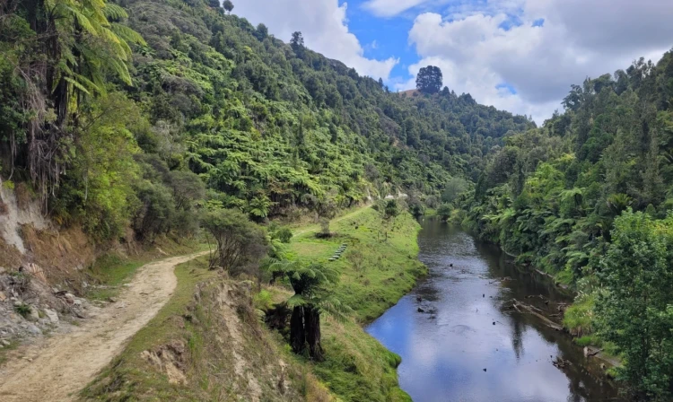
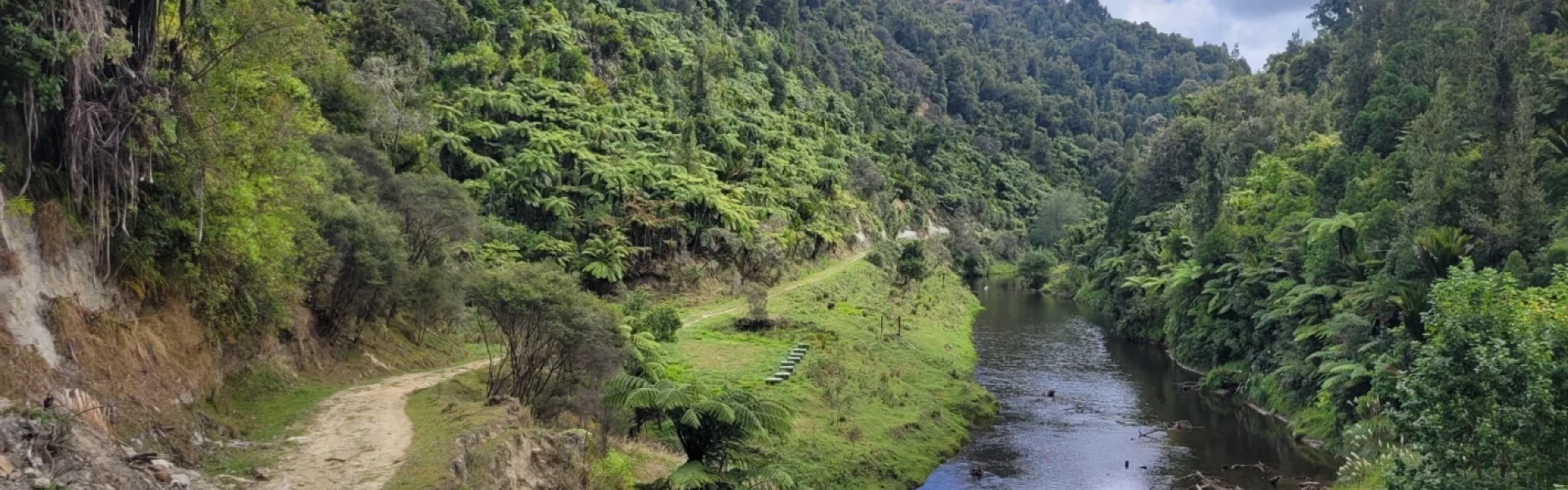
This track follows the Waitōtara River to Trains Hut. The first hour follows a bulldozed track leading to Kapara homestead and farm, which is private land. For the next 1.5 hours, the track follows a historic packhorse road, running between the scrub-covered Kapara farm and the Waitōtara River. This section includes three swing bridges. Beyond the tunnel culvert, the track enters dense bush. Some parts traverse high ledges above the river and side gorges. Be aware there were two slips on the track in 2021. Both are passable but take care when crossing the slip faces. As you near the junction with the Ōmaru Stream, the track opens to the riverbank. Terereohaupa Falls is just downstream, with access nearby. Trains Hut is about 10 minutes ahead.
Fires – fires are not permitted. Weather conditions – track users are urged to observe the weather conditions and seek advice as wet, slippery conditions may be experienced at times, particularly during winter and early spring. Communications – this area is remote with no cell phone coverage. It is recommended that you carry an emergency alert device such as a PLB/Spot tracker. Dropoffs – there are multiple dropoffs on this track. Care should be taken while passing these. Windfalls – there may be windfalls on the track after weather events. Care should be taken while going around the fallen trees. Water – during dry periods, extra water should be carried as the hut water may be dry or stagnant. Treat or boil all water before drinking. Wasps – wasps are a known hazard and are particularly common from January until May. Carry antihistamine if you are allergic to their stings.
From Whanganui, drive west on State Highway 3 for 29 km towards the township of Waitōtara. Just before the road bridge over the Waitōtara River turn left onto Waitōtara Valley Road. Continue along this road for 43 km until it becomes Taumatatahi Road. Carry on this road for another 10 km to the roadend. The carpark is on the right just before the cattlestop. Use this location on Google Maps to help find your way there.
We encourage you to continue gaining the skills and knowledge required for a safe trip. The NZ Mountain Safety Council has lots of free resources and information you can use. These can be accessed via www.mountainsafety.org.nz . We recommend trying these online learning tools: Trip Planning Tramping / field Skills Basic Navigation River Safety Additionally, check out the range of helpful videos available from the NZ Mountain Safety Council YouTube channel
No dogs.
Track information, access and weather can change. Confirm current alerts and land-manager information close to departure, tell someone your plans, and carry equipment appropriate for the route and conditions.