11 October 2026
Showers, possibly heavy, clearing in the afternoon with increasing fine spells. Periods of rain developing west of Tauranga late evening. Northerlies, turning westerly in the afternoon.
Loading outdoor place details…
Kaimai Mamaku Conservation Park
This is an east-west crossing of the Kaimai Ranges used since the 1890s linking Katikati and Te Aroha. It can be walked in either direction.
Distance
11.6 km
Walking time
5 hr
Difficulty
Advanced
Dogs
Not allowed
Wheelchair access
Not marked friendly
Current status
Weather outlook
Issued 10 Oct 2026, 11:01 pm
11 October 2026
Showers, possibly heavy, clearing in the afternoon with increasing fine spells. Periods of rain developing west of Tauranga late evening. Northerlies, turning westerly in the afternoon.
12 October 2026
A few showers. Northwesterlies developing for a time in the afternoon and evening.
13 October 2026
A few showers. Northwesterlies developing in the morning.
14 October 2026
A few showers. Northwesterlies developing in the morning.
15 October 2026
A few showers, some possibly heavy. Northwesterlies.
Regional guidance only; elevation and terrain can produce different conditions.
Explore the area
Explore the track route and surrounding area before you set out.
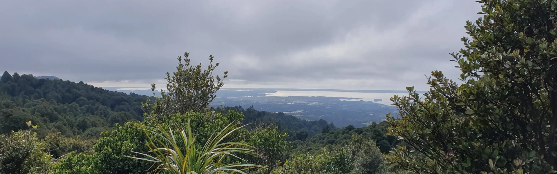
This track can be walked in either direction, but we have described it starting at the end of Hot Springs Road, off SH2. Follow the marked track. A ten minute detour will take you to the Tuahu Kauri, a mature stand of kauri trees. The Tuahu Track continues up for 15 mins to cross the Te Rereatukahia Stream before climbing on moderate grade, sidling in and out of gullies for a further hour before meeting the North South Track at the summit. Past the sumit the track sidles around the steep western escarpment of the Kaimai Range offering many views over the Waikato. Also visible are the Killarney Lakes below. The track descends gradually until it meets the Waihou Valley Pine Forest, leaving the Forest Park. The track leaves the bridle track and follows access roads through private forestry for one hour to Wairakau Road. This track can be wet and crosses a river so prepare for wet feet. Please stick to the track to help protect our precious kauri.
Located within the Kaimai Mamaku Forest Park, this track can be walked in both directions either starting at the end of Hot Springs Road , just south of Katikati off SH2, or Wairakai Rd .
We encourage you to continue gaining the skills and knowledge required for a safe trip. The NZ Mountain Safety Council has lots of free resources and information you can use. These can be accessed via www.mountainsafety.org.nz . We recommend trying these online learning tools: Trip Planning Tramping / field Skills Basic Navigation River Safety Additionally, check out the range of helpful videos available from the NZ Mountain Safety Council YouTube channel
No dogs.
Track information, access and weather can change. Confirm current alerts and land-manager information close to departure, tell someone your plans, and carry equipment appropriate for the route and conditions.