10 October 2026
Partly cloudy with the chance of a shower. Light winds.
Loading outdoor place details…
Upper Hutt
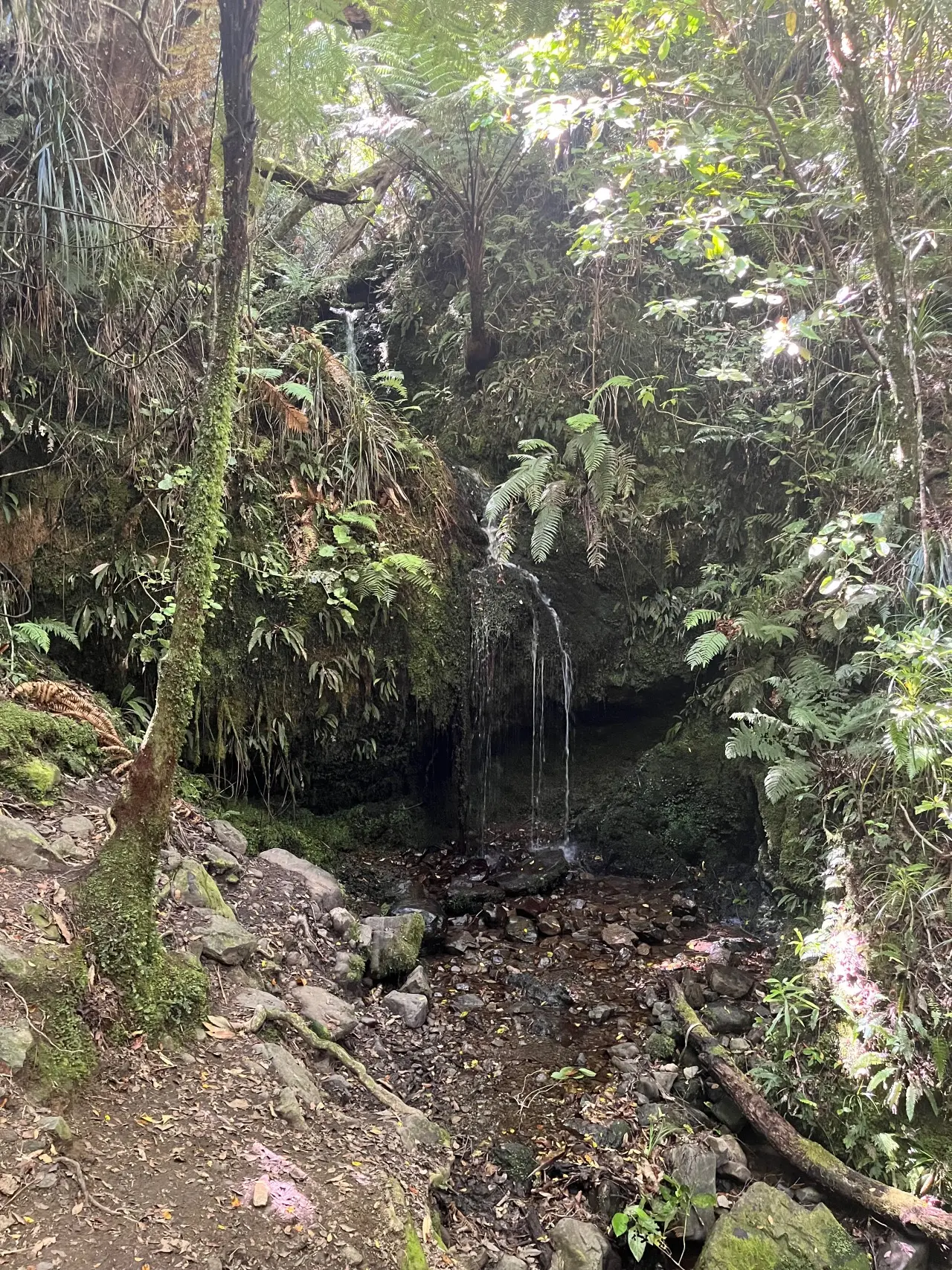
A short circular loop leading from the top carpark at Tunnel Gully partway up Mt Climie before descending a forestry track and returning via the Mangaroa Tunnel.
Distance
2.2 km
Walking time
0.5-1 hour
Difficulty
Intermediate
Dogs
Allowed — check local rules
Wheelchair access
Not marked friendly
Current status
No active alerts found. Conditions can still change, so check again before leaving.
Weather outlook
Issued 10 Oct 2026, 4:55 pm
10 October 2026
Partly cloudy with the chance of a shower. Light winds.
11 October 2026
Showers, clearing to fine spells early afternoon, then clouding over towards evening with drizzle on the ranges. Northerlies.
12 October 2026
Mainly fine, isolated showers at night. Northerlies.
13 October 2026
Occasional rain. Northwesterlies.
14 October 2026
Rain becoming persistent in the morning. Northwesterlies.
Regional guidance only; elevation and terrain can produce different conditions.
Explore the area
Explore the track route and surrounding area before you set out.
A short circular loop leading from the top carpark at Tunnel Gully part way up Mt Climie before descending a forestry track and returning via the Mangaroa Tunnel.
Pack in and pack out. Take your rubbish home and recycle it where possible. Dogs are welcome. Keep them under control and remove droppings. Dogs must be leashed in the tunnels. Do not remove, disturb or damage native plants or animals. Light no fires. You are welcome to bring a portable gas stove. Most parts of the forest are isolated, exposed to wind and rain and without cellphone coverage. Weather conditions can change quickly so please: check the weather forecast before your trip (southerly weather conditions make the Remutaka Rail Trail extremely cold) these are multi-use tracks so cyclists need to beware of and give way to walkers on the track walkers also need to be aware of cyclists on the track and all users should keep to the left wear strong lace-up footwear and carry warm and waterproof clothing and enough food and drink for your trip carry sun protection plan your route and tell someone your intentions take a torch for the tunnels
The Pakuratahi Forest includes several popular areas: Remutaka Rail Trail (including the Incline) Turn off SH2 9km north of Upper Hutt. The carpark is 1km along the sealed road. Or you can enter the Wairarapa end of the Rail Trail via Cross Creek Road (off Western Lake Road). Pedestrian and cycling access only beyond the carpark. Cycling/walking From the end of the Hutt River Trail at Te Marua you can continue on down the road past the Water Treatment plant and the Stuart MacCaskil Lakes to join onto an off-road track that takes you to the start of the Remutaka Rail Trail via an underpass under SH2. See the map to your right for more details. From Maymorn Trailway Station you can follow the walking/cycling track that takes you through Tunnell Gully and you can join the Trail on Incline Road or further up the trail. Tunnel Gully and Mt Climie Turn off SH2 onto Plateau Road at Te Marua, 6km north of Upper Hutt. Pedestrian and cycling access only beyond the carpark. By public transport Catch the 112 Te Marua bus from Upper Hutt Station to the turnaround area near the end of Plateau Road. Walk approximately 1km to reach Tunnel Gully. Catch the train to Maymorn and walk or cycle 2km up the track and through the historic Mangaroa tunnel to Tunnel Gully. Follow the signs to the Remutaka Rail Trail via the Old Railway Line track and the Kaitoke Loop Road. Remutaka Trig Track Off SH2 just south of the summit of the Remutaka Hill Road. The Trig Track is currently CLOSED due to extensive road works in the area. North Block Remutaka Hill Road Summit, Ridgetop Track.Marchant Road (Kaitoke Shelter) via the Puffer Track. A permit is required from the Department of Conservation as this track passes through the Tararua Forest Park.
http://www.gw.govt.nz/mountain-biking-and-cycling-2/ http://www.gw.govt.nz/assets/Parks-and-Recreation/Pakuratahi-Forest/A4-colour-Pakuratahi-Brochure-Map.pdf
Track information, access and weather can change. Confirm current alerts and land-manager information close to departure, tell someone your plans, and carry equipment appropriate for the route and conditions.