10 October 2026
Cloudy periods. Isolated showers, becoming confined to the ranges in the evening. Light winds.
Loading outdoor place details…
Kaimanawa Forest Park
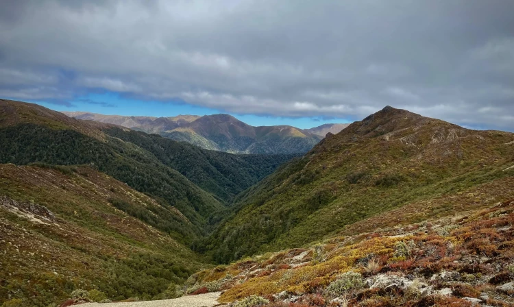
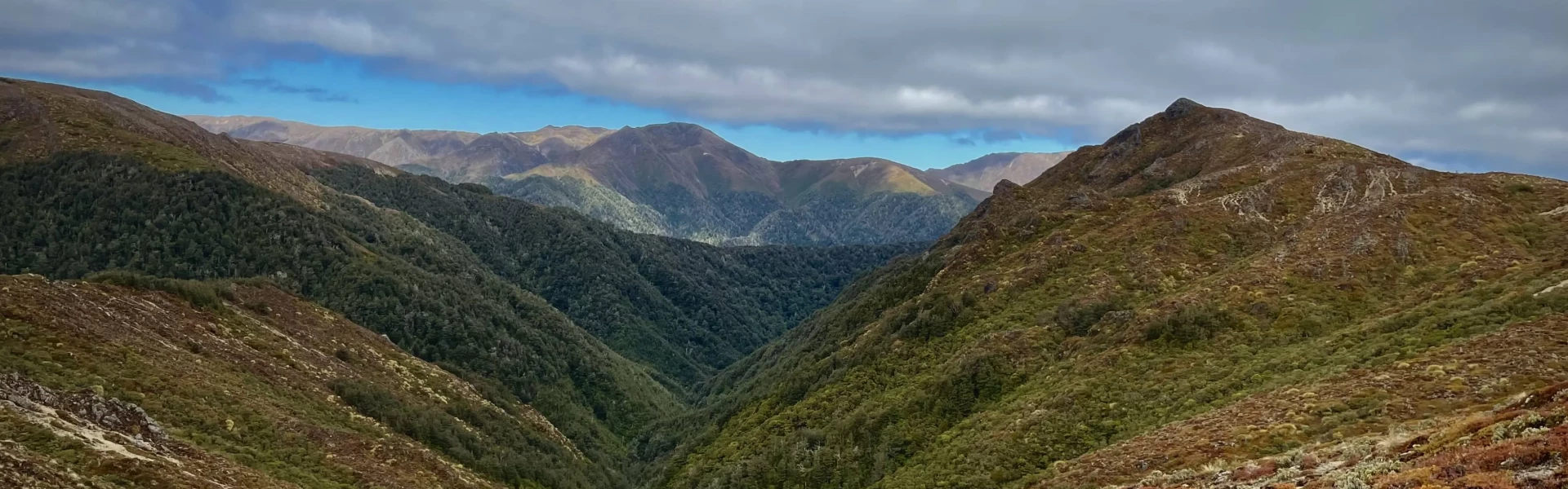
Climb above the bush line to the exposed alpine ridge of Umukarikari and Mount Urchin. Enjoy beautiful beech forest, incredible views and a real alpine environment.
Distance
23.4 km
Walking time
8 hr 30 min - 10 hr
Difficulty
Advanced
Dogs
Allowed — check local rules
Wheelchair access
Not marked friendly
Current status
No active alerts found. Conditions can still change, so check again before leaving.
Weather outlook
Issued 10 Oct 2026, 4:55 pm
10 October 2026
Cloudy periods. Isolated showers, becoming confined to the ranges in the evening. Light winds.
11 October 2026
Showers, possibly heavy, clearing in the afternoon with increasing fine spells. Northerlies, turning westerly around midday.
12 October 2026
Showers becoming isolated in the morning but remaining cloudy. Northwesterlies developing before dawn.
13 October 2026
A few showers. Northwesterlies developing in the morning.
14 October 2026
Mostly cloudy with a few showers developing in the morning. Northwesterlies developing in the morning.
Regional guidance only; elevation and terrain can produce different conditions.
Explore the area
Explore the track route and surrounding area before you set out.
You can walk this track in either direction. It’s best walked in summer (when there are longer daylight hours) and with an early morning start. There are DOC campsites near the two track ends, if you wish to stay the night before. Ensure you have a torch in case it takes you longer than expected. From the track entrance, the trail steadily climbs through beech forest until you reach the bush line. Beyond this point, the track continues to ascend towards the summit of Urchin. The Urchin trig, located at 1,391 meters, is typically reached in 2 to 2.5 hours from the road end. It's a great spot to stop for lunch, offering sweeping views of Lake Taupō and the volcanoes of Tongariro National Park. From the trig, the track follows the open tops with poled markers. When you reach the Umukarikari Track, take the left-hand (west) route. This section follows a poled track along the tops, passing Sharp Cone (1,481 meters), before descending back into the beech forest. The trail continues steadily downhill and ends at the Umukarikari car park. There is a section of road walking that joins the two tracks to make it a loop, so if you haven't organised transport between the two, ensure you have noted directions to get you back to where you started.
The Mt Urchin Track is an easier and shorter day walk alternative, which still offers fantastic views and Kaimanawa alpine scenery. There are no water sources on the track, we advise carrying 2-3L per person. The weather in Kaimanawa Forest Park is extremely changeable. Be prepared for cold wet conditions even in summer. Carry a waterproof jacket, warm clothing, a fully charged mobile phone and a distress beacon, lots of food and water, emergency shelter, hat and gloves, even if done as a day walk. The Urchin and Umukarikari Track start/ends are joined by a road walking section that you might want to organise transport/key swap for to shorten the trip.
Before, or after the tramp, there are two campsites which are accessible by road. Waikoko Campsite is at the Umikarikari end on Kaimanawa Road, and Urchin Campsite is along the road towards Mt Urchin Track. Further past the Umukarikari Trig is Waipakihi Hut . To get there, continue eastwards for 2-3 hours along the Umukarikari Track .
The gravel road leading to the track can be rough in wet conditions, but is navigable for most cars. From Tūrangi, follow SH1 south for 15 km, then turn off onto Kaimanawa Rd. Urchin track end: Travel 3.5 km to the junction, then turn right onto the Urchin Campsite road. Continue past the campground turnoff to the end of the road, where you'll see the track entrance. Umukarikari track end: Follow Kaimanawa road, continuing straight past the turnoff to Urchin Campsite Rd. Soon afterwards, turn left to the Waikoko Campsite. Continue uphill past the campsite before taking the first right. The track begins at the end of the road.
We encourage you to continue gaining the skills and knowledge required for a safe trip. The NZ Mountain Safety Council has lots of free resources and information you can use. These can be accessed via www.mountainsafety.org.nz . Level up in your outdoor knowledge with these interactive online learning tools: Trip Planning Tramping / field Skills Basic Navigation River Safety Additionally, check out the range of helpful videos available from the NZ Mountain Safety Council YouTube channel .
Dogs with a DOC permit only. Contact closest DOC office to get a permit.
Track information, access and weather can change. Confirm current alerts and land-manager information close to departure, tell someone your plans, and carry equipment appropriate for the route and conditions.