11 October 2026
Showers, possibly heavy with snow to 2000 metres, clearing in the afternoon, but some cloud remaining about western faces.
Loading outdoor place details…
Tongariro National Park
Trek across a volcanic alpine landscape of dramatic contrasts. From May to October, alpine skills are essential for this track – it's best to go with a guide.
Distance
20.2 km
Walking time
Nov-Apr: 7-8 hr | May-Oct: 9 hr
Difficulty
Intermediate, Expert
Dogs
Not allowed
Wheelchair access
Not marked friendly
Current status
Weather outlook
Issued 10 Oct 2026, 9:23 pm
11 October 2026
Showers, possibly heavy with snow to 2000 metres, clearing in the afternoon, but some cloud remaining about western faces.
12 October 2026
Rain easing to isolated showers in the morning.
13 October 2026
Showers, some possibly heavy.
14 October 2026
Mostly cloudy with a few showers developing.
15 October 2026
Rain turning to showers, some heavy. Snow lowering to 2100 metres.
Regional guidance only; elevation and terrain can produce different conditions.
Explore the area
Explore the track route and surrounding area before you set out.
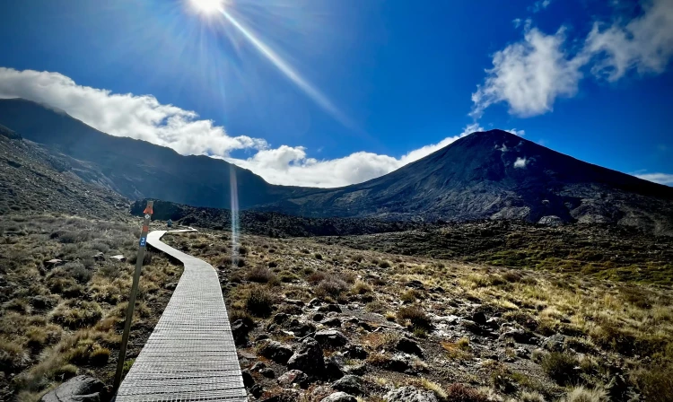
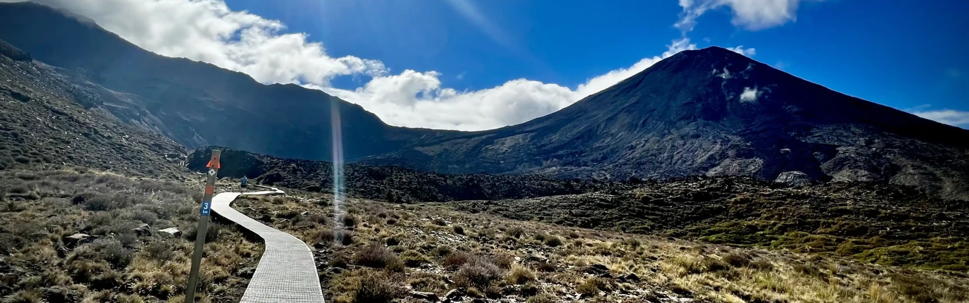
Time required: Nov-May: 7-8 hours | Jun-Oct: 9 hours This challenging trip begins at 1120 m above sea level, gradually climbing the Mangatepopo Valley to the saddle between Mount Tongariro and Mount Ngauruhoe, through South Crater before climbing again to Red Crater, the highest point on the crossing at 1886 m. You will then descend on a volcanic rock scree track to the vivid Emerald Lakes, known as Nga Rotopounamu (greenstone-hued lakes). After passing Blue Lake, also known as Te Wai-whakaata-o-te-Rangihiroa (Rangihiroa’s mirror), the track sidles around the northern slope of Tongariro, then descends in a lengthy and tiring zigzag track down to the road end at 760 m. Be prepared for a long and challenging day out. For a more detailed description of the track, watch the video above. Ensure you take: water and food a waterproof jacket, hat and gloves, and warm layered clothing (no cotton) sunhat and sunscreen strong, rigid boots to prevent slips when descending the steep scree slope from Red Crater. Running shoes are not suitable. head torch mobile phone (cellphone connection is possible for much of the track).
Best time to walk the track - there are more facilities and fewer hazards. Most of the track is open, difficult, exposed and on uneven surfaces. Intermediate track category. The track is not recommended for children under the age of 10, due to the exposed mountainous environment and often adverse weather conditions. The track passes through an alpine environment with changeable weather conditions at all times of year. It is common to experience very cold temperatures, strong wind, heavy rainfall and poor visibility in summer – snow can fall at any time of year. During the summer hiking season, a ‘Not Recommended Today’ advisory is applied to the Tongariro Alpine Crossing when the weather is potentially hazardous. The assessment to apply the advisory will be made at 6 am every day. If applied: signage is placed at Mangatepōpō Road end an alert is automatically placed on the weather forecast – NIWA website transport and guiding operators, isites and visitor centres will be advised automatically via email.
The route is covered in snow and very icy in sections. It is only suitable for people with alpine skills, equipment and experience. You must: know how to navigate if cloud or snow covers the marker poles and you cannot see them know where avalanches are a risk and be able to rescue someone if an avalanche occurs have the equipment and skills to prevent a slide on icy terrain have the clothing for sub-zero temperatures and be able to survive if the weather gets worse. Talk with someone at the Tongariro National Park Visitor Centre who knows the current conditions. Check the latest: avalanche forecast – New Zealand Avalanche Advisory website volcanic alert level – GeoNet website weather forecast – NIWA website Know the route – deep snow can hide track markers. Shuttle buses generally don't operate during winter, but guided trips include transport.
The Tongariro Alpine Crossing passes through volcanic hazard zones and regularly experiences geothermal activity – even when the track is open, volcanic risk is present. Steam vents, especially near Emerald Lakes, should not be approached. The steam is very hot, the ground can be unstable and severe burns are possible. Always stay on the marked track to avoid injury. The descent from Red Crater to the Emerald Lakes is often considered the most challenging part of the track. This part of the track, particularly at the start of the descent, is not completely stable but consists of loose rock and scree. Descending this is similar to walking downhill on soft snow or a sand dune. Sinking your heels into the soft rock will give you the best stability. Walking poles can also be helpful. See the video above for a visual guide in these methods. In winter (June to October), you will need special skills and preparation to complete the Tongariro Alpine Crossing. There are increased hazards from snow, ice, avalanche danger and sub-zero temperatures. If you do not have these skills then you can still safely complete this if you go with a qualified guide.
From Labour weekend in October to 30 April, parking restrictions (4 hr maximum) are in place at the road-ends. This means that to complete the full track you’ll need to either book a shuttle or arrange for someone to drop you off and pick you up. DOC now have a list of approved shuttle and guiding companies The following sites also maintain lists of providers depending on where you are coming from: LoveTaupo.com is useful for those staying in Taupo or Turangi Visit Ruapehu is great from those starting from Ohakune and Taumaranui National Park Village have a list of locally-based shuttle and guide operators TongariroCrossing.com operate a park and ride service close to the end of the track, with a one-way shuttle to the track start. This adds another 900m onto the total track length, but may be cheaper than getting shuttles to and from each end. If you've arranged someone to drop you off and pick you up, these links to Google Maps mark the start at Mangatepopo , and the end at Ketetahi .
We encourage you to continue gaining the skills and knowledge required for a safe trip. The NZ Mountain Safety Council has lots of free resources and information you can use. These can be accessed via www.mountainsafety.org.nz . Learn more about the Tongariro Alpine Crossing and how you can ensure you have a great experience in this handy guide. Level up in your outdoor knowledge with these interactive online learning tools: Trip Planning Tramping / field Skills Basic Navigation River Safety Additionally, check out the range of helpful videos available from the NZ Mountain Safety Council YouTube channel .
The track is in an alpine environment with changeable weather conditions at all times of year. Alpine conditions such as strong winds, cold temperatures and possible snow should be factored into planning. Cold temperatures (especially near the top) are still likely in the warmer months. A fine summers day has the possibility of afternoon convection causing thunderstorms. If conditions are poor, try alternatives such as Taranaki Falls Walking Track o r Tama Lakes Track
No dogs.
Track information, access and weather can change. Confirm current alerts and land-manager information close to departure, tell someone your plans, and carry equipment appropriate for the route and conditions.