11 October 2026
Fine, apart from showers before dawn, then some cloud in the west from afternoon. Northerlies changing westerly in the morning, dying out early evening.
Loading outdoor place details…
Urupukapuka Island Recreation Reserve
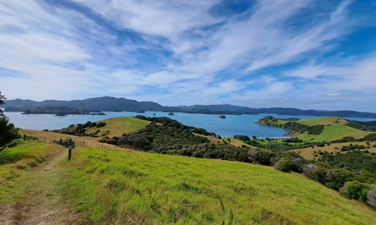
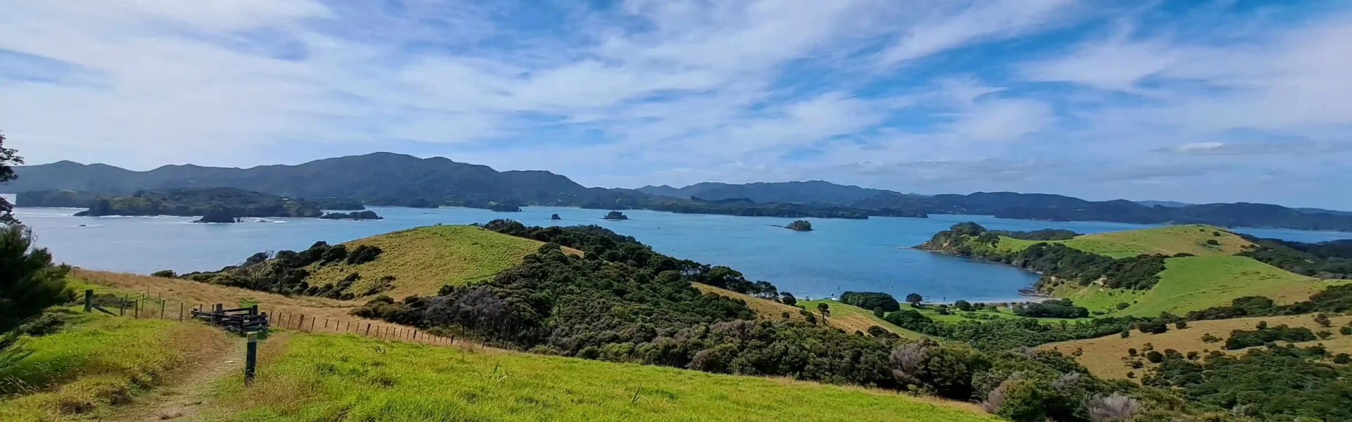
The largest of all the 140 islands in the Bay, Urupukapuka Island has a long history, both Maori and European. Visitors to the island will discover wonderful beaches, historic & archaeological walks, snorkelling, kayak hire, a restaurant, bar and more. Explore the island’s stunning beaches by foot or by kayak and be rewarded by quiet, deserted beaches and crystal clear waters or visit ancient Maori Pā sites. Take a gentle 10 minute climb to enjoy 360 degree views of the many islands scattered throughout the Bay. Or sit back and enjoy the view and hospitality in Otehei Bay, by the beautiful beach. Urupukapuka Island has been under protection as a recreational reserve since 1970 and is the only island in the Bay that is open and accessible to the public.
Distance
8.1 km
Walking time
5 hr
Difficulty
Easy
Dogs
Not allowed
Wheelchair access
Not marked friendly
Current status
Weather outlook
Issued 10 Oct 2026, 11:01 pm
11 October 2026
Fine, apart from showers before dawn, then some cloud in the west from afternoon. Northerlies changing westerly in the morning, dying out early evening.
12 October 2026
Partly cloudy. Westerlies.
13 October 2026
Partly cloudy, with isolated showers in the afternoon and evening. Northwesterlies.
14 October 2026
Partly cloudy with isolated showers developing in the morning. Northwesterlies.
15 October 2026
Occasional rain, clearing. Northerlies, turning westerly.
Regional guidance only; elevation and terrain can produce different conditions.
Explore the area
Explore the track route and surrounding area before you set out.
The complete Urupukapuka Island Walk (5 hr) is designed in a clockwise direction, and may be joined at most of the larger bays, but there’s a series of interconnected loop walks so you can choose how far to go. You’ll find signs all over the island and it’s hard to get lost. This track generally follows the outer edge of the island passing various archaeological features. It goes through native and regenerating bush, along beaches and beside steep cliffs. T here are plenty of ups and downs but the steep sections tend to be short.
There is a conservation centre in Otehei Bay, 26 December to 6 February every year. The conservation centre has historical info about the island, info about project island song, info about bottlenose dolphin’s in the Bay of Islands. It also serves as a base for children's’ activity days and a pop-up library. Walks in this area can include sections near steep cliffs. Supervise children when near cliffs and keep on the track at all times. Rubbish is not collected – take your rubbish with you.
The biggest campsite is at Urupukapuka Bay (60 tent sites), and you can also camp at Cable Bay (20 sites) and at the tiny Sunset Bay (just 2 sites). Bookings are required at all sites.
Water taxis run on demand year round (weather permitting). The Paihia isite takes bookings for boat transportation to the island. Passenger ferries go from Paihia and Russell to Otehei Bay every day in the peak summer season. Private boats can leave from boat ramps in the Eastern Bay of Islands: 30 minutes from Waitangi boat ramp on Te Karuwha Parade 15 minutes from Te Uenga Bay beach ramp on Russell Road 10 minutes from Kaimarama Bay boat ramp at the end of Rawhiti Road 45 minutes from Opito Bay and Doves Bay To get to Urupukapuka Island you need to go through Te Pēwhairangi (Bay of Islands) Marine Mammal Sanctuary.
We encourage you to continue gaining the skills and knowledge required for a safe trip. The NZ Mountain Safety Council has lots of free resources and information you can use. These can be accessed via www.mountainsafety.org.nz . We recommend trying these online learning tools: Trip Planning Tramping / field Skills Basic Navigation River Safety Additionally, check out the range of helpful videos available from the NZ Mountain Safety Council YouTube channel
No dogs.
Track information, access and weather can change. Confirm current alerts and land-manager information close to departure, tell someone your plans, and carry equipment appropriate for the route and conditions.