06 October 2026
Partly cloudy. Westerlies for a time in the afternoon.
Loading outdoor place details…
Tararua Forest Park
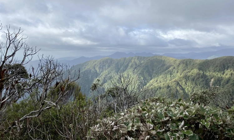
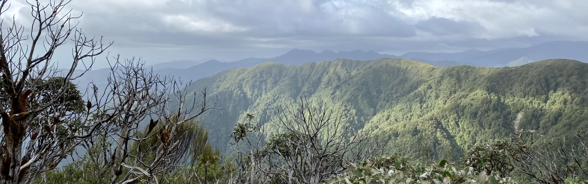
Waiopehu Track leads up a long forested ridge to Waiopehu Hut, with beautiful views across the Horowhenua plains from the hut. This track is part of Te Araroa Trail.
Distance
9.56 km
Walking time
4-5 hr
Difficulty
Intermediate
Dogs
Allowed — check local rules
Wheelchair access
Not marked friendly
Current status
No active alerts found. Conditions can still change, so check again before leaving.
Weather outlook
Issued 5 Oct 2026, 11:01 pm
06 October 2026
Partly cloudy. Westerlies for a time in the afternoon.
07 October 2026
Fine. Northwesterlies developing for a time in the morning and afternoon.
08 October 2026
Mainly fine, but isolated showers in the morning. Southeasterlies developing in the afternoon.
09 October 2026
Partly cloudy. Southeasterlies developing in the afternoon.
10 October 2026
Partly cloudy with isolated showers. Easterlies, dying out.
Regional guidance only; elevation and terrain can produce different conditions.
Explore the area
Explore the track route and surrounding area before you set out.
The Waiopehu Track begins at Poads Road end, in the Tararua foothills behind Levin. The first kilometre of the track crosses private farmland before reaching the park boundary. Once inside the Tararua Forest Park, you’ll come to a track junction. Take the right-hand track that climbs the hill toward Waiopehu Hut . From here, it’s about 8 km to the hut. The track has a reasonably easy gradient for a Tararua route, with a steady climb as it reaches the top of a long ridge. As you near the hut, the forest gives way to low alpine scrub. On clear days, there are excellent views across the Horowhenua plains and eastward to the Tararua high peaks.
There is no fireplace at Waiopehu Hut. There is no gas supplied at the hut. Waiopehu Track climbs steadily for almost the whole distance. Check that everyone in your group has the fitness for the climb and build some extra time into your plans in case it takes longer than expected. There is no water (including no side streams) during the climb.
A 13 minute drive from central Levin, follow Gladstone Road until the turnoff to Ponds Road which you follow until the end. Use this location in Google Maps to find your way there.
We encourage you to continue gaining the skills and knowledge required for a safe trip. The NZ Mountain Safety Council has lots of free resources and information you can use. These can be accessed via www.mountainsafety.org.nz . Level up in your outdoor knowledge with these interactive online learning tools: Trip Planning Tramping / field Skills Basic Navigation River Safety Additionally, check out the range of helpful videos available from the NZ Mountain Safety Council YouTube channel .
Dogs allowed. Keep dog under control at all times.
Track information, access and weather can change. Confirm current alerts and land-manager information close to departure, tell someone your plans, and carry equipment appropriate for the route and conditions.