10 October 2026
Mostly cloudy, with the odd shower. Northeasterlies.
Loading outdoor place details…
Kaimai Mamaku Conservation Park
From 7 September, Wairere Falls Track, carpark and toilets will be closed to allow completion of works and reopening in time for summer naturing.
Distance
5.5 km
Walking time
3–4 hr return via same track
Difficulty
Easy
Dogs
Allowed — check local rules
Wheelchair access
Not marked friendly
Current status
Weather outlook
Issued 10 Oct 2026, 4:55 pm
10 October 2026
Mostly cloudy, with the odd shower. Northeasterlies.
11 October 2026
Showers, possibly heavy, clearing to fine spells in the afternoon. Periods of rain developing in the evening. Northwesterlies.
12 October 2026
Occasional rain, clearing north of Hamilton in the evening but remaining cloudy. Northerlies developing for a time in the morning and afternoon.
13 October 2026
A few showers. Northwesterlies, dying out in the evening.
14 October 2026
A few showers. Northwesterlies developing in the morning.
Regional guidance only; elevation and terrain can produce different conditions.
Explore the area
Explore the track route and surrounding area before you set out.
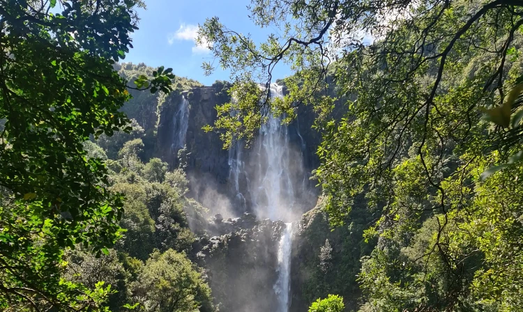
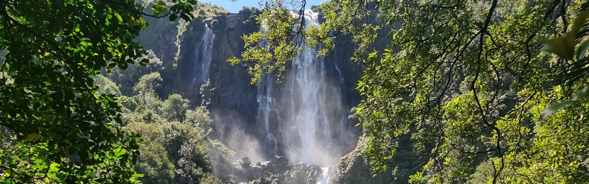
Wairere Falls Track weaves its way through moss covered rocks and tree roots. Large round boulders form natural pools and cascading waterfalls. Time required : 3-4 hours return Wairere Falls Track is a very popular walk on the western side of the Kaimai Mamaku Conservation Park near Te Aroha. From the car park an enjoyable, undulating track crosses large moss-covered rocks and tree roots requiring decent footwear and some minor climbing. Small wooden bridges take you across the stream at several points, offering lovely views of the water and its cascades. There is a steady incline up the steps to the base of the cliff, through a grove of nīkau, pūriri and kohekohe, before leading to a lookout platform with a spectacular view of the falls (45 minutes from road end). The track to the lookout is rated 'Easy'. The track becomes much harder from this point, and is rated 'Advanced' as it climbs further up the hill to the top platform, with plenty of steps and staircases in the steeper section. Take your time as you climb to the top of the falls and watch your footing over the rocks and tree roots. Once you reach the top of the climb, the track passes through forest before reaching the falls lookout after about 90 minutes. The viewing platform at the top of the waterfall provides fantastic views of the Waikato valley. The falls drop 153 metres over the steep escarpment, which is part of the Okauia fault line. In spring, watch out for the apricot-coloured flowers of the taurepo plant on the rocky valley walls. Return the same way. Some people take walking sticks as the return walk is downhill and steps can be tiring on knees. Alternative route (tramping track) From the top of the falls take the Wairere Track east to the North-South Track. This section is not as well maintained as the climb to Wairere Falls.
The gorge section of the Wairere Falls Track is closed due to safety concerns. A large, unstable boulder is threatening a key structure on the track and there is ongoing land movement in the area. From 7 September, the carpark and toilets will also be closed to allow for substantial works to occur safely.
Dogs with a DOC permit for recreational hunting or management purposes only.
Track information, access and weather can change. Confirm current alerts and land-manager information close to departure, tell someone your plans, and carry equipment appropriate for the route and conditions.