10 October 2026
Cloudy, then showers developing this afternoon. Snow to 2000 metres this evening.
Loading outdoor place details…
Matukituki Valley area
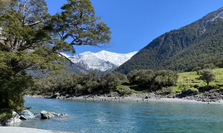
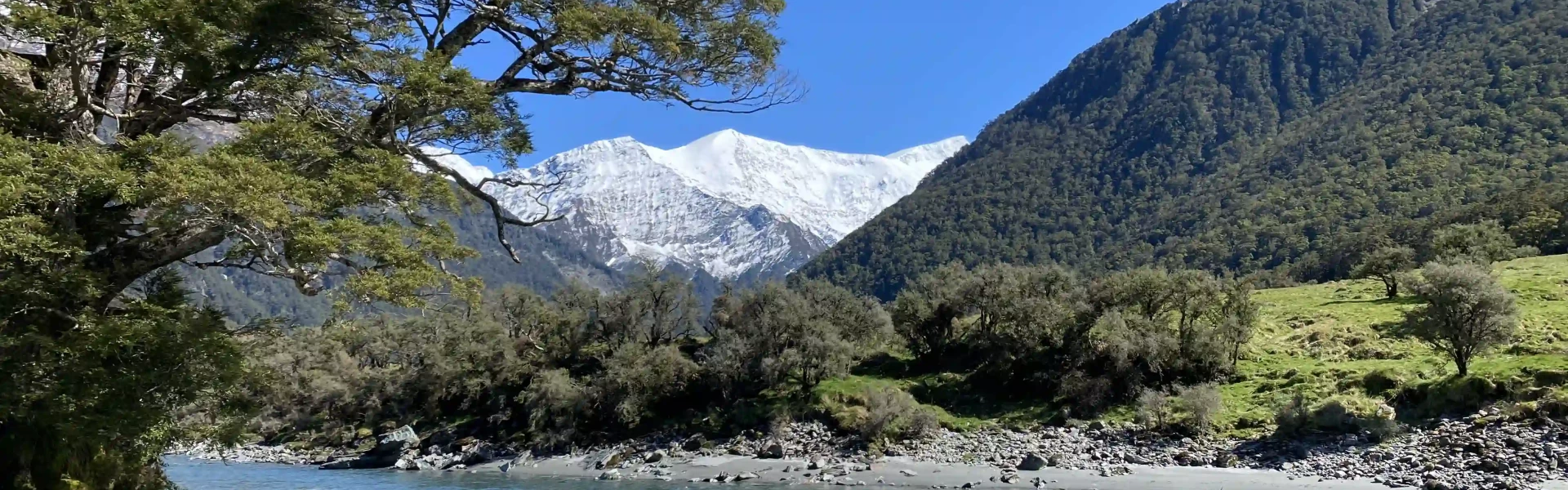
Following the river and with views of notable glaciers, the West Matukituki Valley track takes you through sections of open farmland, native forest, and grassy flats before finishing at the head of the valley.
Distance
16.8 km
Walking time
6 hr one way
Difficulty
Intermediate, Advanced
Dogs
Not allowed
Wheelchair access
Not marked friendly
Current status
Weather outlook
Issued 10 Oct 2026, 7:33 am
10 October 2026
Cloudy, then showers developing this afternoon. Snow to 2000 metres this evening.
11 October 2026
Showers clearing to partly cloudy in the afternoon. Snow to 1900 metres at first.
12 October 2026
Fine, but becoming overcast at night.
13 October 2026
Showers turning to heavy rain. Snow lowering to 2300 metres.
14 October 2026
Heavy rain easing. Snow to 1700 metres.
Regional guidance only; elevation and terrain can produce different conditions.
Explore the area
Explore the track route and surrounding area before you set out.
From the carpark, the track undulates over grasslands beside the Matukituki River. It goes over a couple of steep rocky outcrops and multiple stream crossings. The historic Cascades Hut can be seen from a distance. Continue walking past this locked private hut to arrive at Aspiring Hut. After the hut, the track crosses Cascade Creek via a swing bridge and enters the bush for a time before emerging into Shovel Flat. After a brief section through the bush and crossing another swing bridge, the track arrives at Pearl Flat. From Pearl Flat, the track continues through bush to the head of the valley and shortly after upwards through forest and then over open shrubs to a modest bivvy. The route beyond the head of the valley to Bevan Col is for experienced trampers and climbers only.
Camping at Shovel flat is not recommended due to avalanche risk Be prepared to get your feet wet Sturdy footwear and warm clothing is recommended. Weather may change rapidly This track crosses private property, stay on track and respect the free roaming stock. Leave the gates as found. No dogs are allowed Limited number of people are allowed on the swing bridges at any one time. Pay attention to the signs.
Aspiring Hut is an historic stone hut in the spectacular Matukituki Valley. Bookings are required. It is also possible to camp a short way upriver from the hut. Towards the head of the valley, the track leaves the French Ridge Track and passes through beech forest before reaching open scrubby country. Approximately 500 m upstream and 50 m from the river from this point is Scotts Rock Biv, a small and not entirely waterproof rock shelter marked with a cairn on top. Easy open travel leads from the biv back across the river to the head of the valley. The route beyond the head of the valley to Bevan Col is for experienced trampers and climbers only.
The track starts at the Raspberry Creek car park, 54 km west of Wanaka on the Wanaka-Mount Aspiring Road. The last 30 km are unsealed. The drive takes about an hour. Drive carefully and be courteous to drivers coming the other way by slowing down to avoid stones flicking up and hitting the other vehicle. Use this location in Google Maps to find your way there. Transport services from Wanaka to the car park are also available.
We encourage you to continue gaining the skills and knowledge required for a safe trip. The NZ Mountain Safety Council has lots of free resources and information you can use. These can be accessed via www.mountainsafety.org.nz . We recommend trying these online learning tools: Trip Planning Tramping / field Skills Basic Navigation River Safety Additionally, check out the range of helpful videos available from the NZ Mountain Safety Council YouTube channel .
No dogs.
Track information, access and weather can change. Confirm current alerts and land-manager information close to departure, tell someone your plans, and carry equipment appropriate for the route and conditions.