11 October 2026
Showers, possibly heavy with snow to 2000 metres, clearing in the afternoon, but some cloud remaining about western faces.
Loading outdoor place details…
Tongariro National Park
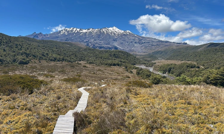
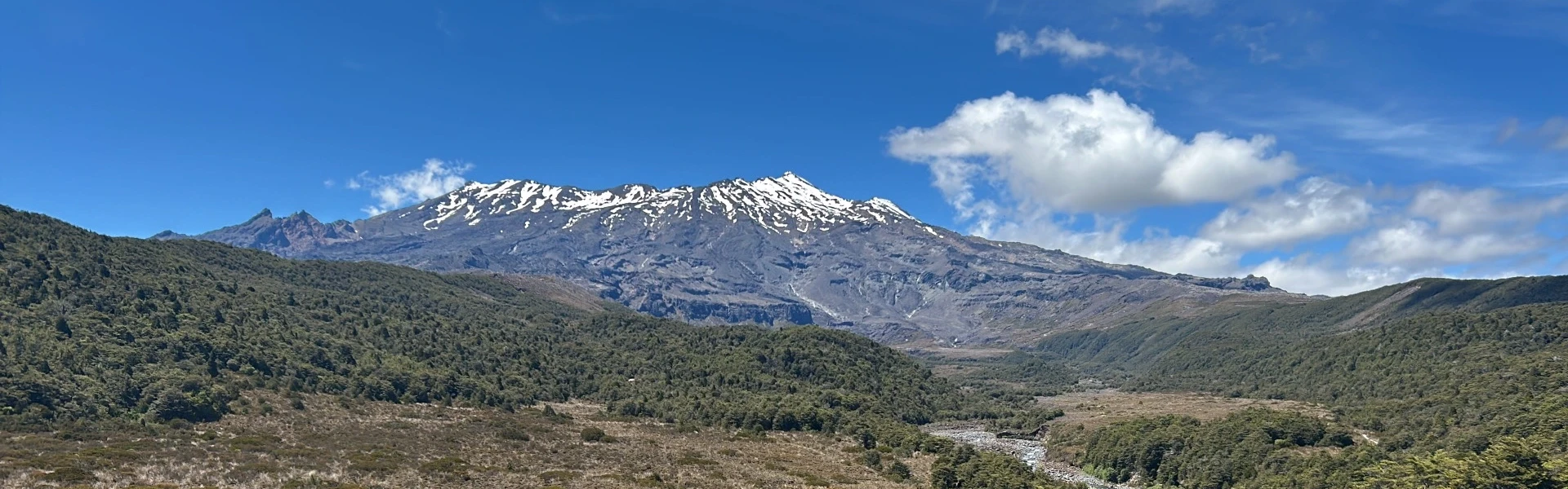
Winding through stunted beech forest, the Whakapapaiti Valley Track makes its way to the Whakapapaiti Hut. From here you can continue in a loop back to Whakapapa Village. This track is part of Te Araroa Trail.
Distance
16 km
Walking time
4 - 5 hr
Difficulty
Advanced
Dogs
Not allowed
Wheelchair access
Not marked friendly
Current status
Weather outlook
Issued 10 Oct 2026, 9:23 pm
11 October 2026
Showers, possibly heavy with snow to 2000 metres, clearing in the afternoon, but some cloud remaining about western faces.
12 October 2026
Rain easing to isolated showers in the morning.
13 October 2026
Showers, some possibly heavy.
14 October 2026
Mostly cloudy with a few showers developing.
15 October 2026
Rain turning to showers, some heavy. Snow lowering to 2100 metres.
Regional guidance only; elevation and terrain can produce different conditions.
Explore the area
Explore the track route and surrounding area before you set out.
This track can be walked in either direction, but is described going counter-clockwise. Follow Silica Rapids Track for about 45 minutes to the junction with Whakapapaiti Track. The track goes through forest then an open tussock-covered area. There is a bridged crossing of Whakapapaiti River, then the track continues up the valley, passing the junction with Mangahuia Track (2-3 hours to campsite). Further up the valley there is an unbridged river crossing - it may not be possible to cross safely when the river is high following or during rainfall. Do not cross if the river is flooded, you cannot find safe entry and exit points or are unsure it’s safe. Turn back or wait for the river to drop. If in doubt, stay out. Whakapapaiti Hut is 10-15 minutes further up the track. Leaving the hut, the track winds its way through stunted beech forest, then up the valley to the Round the Mountain Track junction. Turn left here towards Bruce Road. The track zig-zags up and over a moraine ridge with great views of Whakapapaiti Valley and the surrounding landscape. Continue to the Scoria Flat area on the Bruce Road. Form here it is approximately 5 kilometres down the road to Whakapapa Village.
The Whakapapaiti Valley track begins in Whakapapa Village 250 metres above the Tongariro National Park Visitor Centre. The upper section begins 5 kilometres up the Bruce Road from Whakapapa Village. Use this location on Google Maps to help find your way there.
We encourage you to continue gaining the skills and knowledge required for a safe trip. The NZ Mountain Safety Council has lots of free resources and information you can use. These can be accessed via www.mountainsafety.org.nz . We recommend trying these online learning tools: Trip Planning Tramping / field Skills Basic Navigation River Safety Additionally, check out the range of helpful videos available from the NZ Mountain Safety Council YouTube channel
No dogs.
Track information, access and weather can change. Confirm current alerts and land-manager information close to departure, tell someone your plans, and carry equipment appropriate for the route and conditions.