10 October 2026
Partly cloudy with isolated showers developing in the afternoon. Northeasterlies dying out in the afternoon.
Loading outdoor place details…
Whareroa Farm
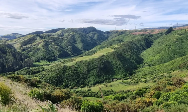
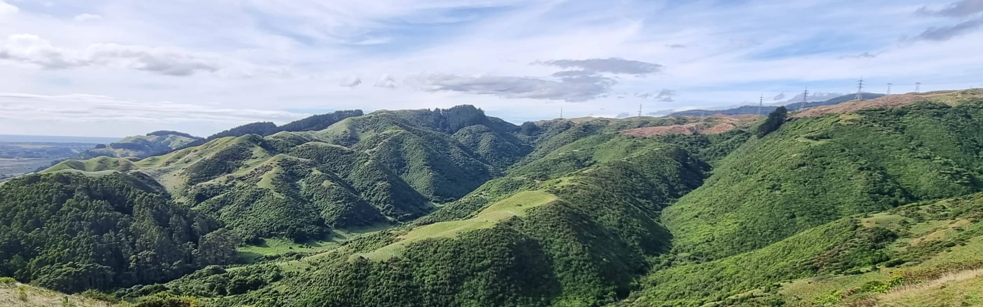
Enjoy regenerating shrubland, coastal views and kohekohe forest on these walks that are suitable for children.
Distance
7.81 km
Difficulty
Easiest, Easy, Advanced
Dogs
Not allowed
Wheelchair access
Friendly
Current status
No active alerts found. Conditions can still change, so check again before leaving.
Weather outlook
Issued 10 Oct 2026, 4:55 pm
10 October 2026
Partly cloudy with isolated showers developing in the afternoon. Northeasterlies dying out in the afternoon.
11 October 2026
Showers, clearing to fine spells early afternoon, then clouding over towards evening with drizzle on the ranges. Northerlies.
12 October 2026
Fine, then a few showers developing in the evening. Northwesterlies developing for a time in the afternoon.
13 October 2026
Occasional rain. Northeasterlies, turning northwesterly in the morning.
14 October 2026
Rain. Northwesterlies.
Regional guidance only; elevation and terrain can produce different conditions.
Explore the area
Explore the track route and surrounding area before you set out.
Distance: 355 m Category: Short walk Starting near the carpark, this short walk passes through regenerating shrubland. It is suitable for wheelchairs and mountain buggies.
Distance: 500 m Category: Walking track Starting near the carpark, this track zigzags up the hill to reward you with panoramic coastal views to the Marlborough Sounds, Kapiti Island and the Kapiti coast.
Distance: 1.6 km Category: Walking track Starting near the carpark, this track zigzags up the Coastal Lookout Walk, and then traverses through a remnant of the kohekohe forest that once covered much of the Kapiti coast. Return along the farm race.
Distance: 1.2 km Category: Tramping track Starting near the carpark, follow the stream loop and Farm Race to the start of Cairn View Track on your right. The track then climbs to a lookout over the farm and out to the coast. From the lookout you can view the site of Camp McKay and the old water reservoir. Return the same way, or turn right to join Ti Kouka Loop as you descend.
Distance: 13.4 km Category: Tramping track Walk the uphill mountain bike track or the horse-riding track to Campbell's Mill Road. Follow Campbell’s Mill Road into Maungakotukutuku Valley Road, Waterfall Road and Emerald Glen Road back to Whareroa Farm.
Toilets and parking are available at the entrance to Whareroa Farm. Pack adequate food and water for the journey. Please note: the water at Whareroa Farm is not fit for drinking. Plan your route before you leave and let someone know where you’re going. There is no public access to the grazed areas. Farmed areas of Whareroa Farm are closed to visitors during lambing and calving season (from 18 July to 30 September). Keep out of the signposted closed farmland areas during this time. No fires. No dogs permitted.
The main entrance to Whareroa Farm is via the Queen Elizabeth Park off-ramp about 3.5 km north of Paekakariki on SH1. Use this location in Google Maps to find your way there.
We encourage you to continue gaining the skills and knowledge required for a safe trip. The NZ Mountain Safety Council has lots of free resources and information you can use. These can be accessed via www.mountainsafety.org.nz . We recommend trying these online learning tools: Trip Planning Tramping / field Skills Basic Navigation River Safety Additionally, check out the range of helpful videos available from the NZ Mountain Safety Council YouTube channel .
No dogs.
Track information, access and weather can change. Confirm current alerts and land-manager information close to departure, tell someone your plans, and carry equipment appropriate for the route and conditions.