10 October 2026
Mostly cloudy, but some afternoon fine spells. Rain developing at night about and west of Taranaki Maunga, possibly heavy. Northerlies.
Loading outdoor place details…
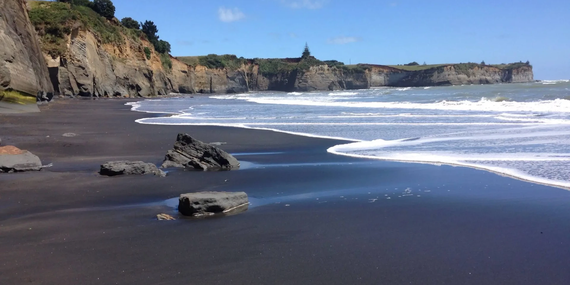
White Cliffs and Mount Messenger Conservation Area
This walkway uses the Kapuni to Auckland gas pipeline route for a considerable distance. The laying of the pipeline opened up walking access to the dramatic forest and coastal country of the region.
Distance
22 km
Walking time
up to 8 hr
Difficulty
Intermediate
Dogs
Not allowed
Wheelchair access
Not marked friendly
Current status
Weather outlook
Issued 10 Oct 2026, 4:55 pm
10 October 2026
Mostly cloudy, but some afternoon fine spells. Rain developing at night about and west of Taranaki Maunga, possibly heavy. Northerlies.
11 October 2026
Showers, possibly heavy with thunderstorms, clearing to fine spells in the afternoon. Clouding over in the evening with rain north of Taranaki Maunga. Northwesterlies dying out in the evening.
12 October 2026
A few showers. Westerlies, turning northerly before dawn.
13 October 2026
Occasional rain, clearing in the evening. Northwesterlies.
14 October 2026
Rain becoming persistent in the evening. Northerlies.
Regional guidance only; elevation and terrain can produce different conditions.
Explore the area
Explore the track route and surrounding area before you set out.
This walkway uses the Kapuni to Auckland gas pipeline route for 11 km. The laying of the pipeline involved an immense amount of heavy construction work. These operations opened up walking access to the dramatic forest and coastal country of the region. The entire walkway is across private land. The northern section to Tongaporutu is closed. The northern end of the walkway between the stock tunnel and Clifton Road at Tongaporutu is closed. There is no access to the walkway from Tongaporutu. There are 2 walking options along the Whitecliffs Walkway: Pukearuhe to Wai Pingao Stream, returning to Pukearuhe via the beach (low tide only) Distance: 6.5 km loop Time: 3–4 hr The walkway crosses open farmland to Mt Davidson, where it enters Ngati Tama land. It then follows the pipeline route along the ridge tops before descending to the Wai Pingao Stream. Here you can divert from the main track and return to Pukearuhe by following the stream to the coast and walking south along the beach. Pukearuhe to Mt Messenger Distance: 11 km one way Time: 6–7 hr Continue on the walkway across the Wai Pingao Stream bridge before climbing to the Parininihi Ridge high point and descending to the junction with the Mt Messenger Track. Turn right to climb toward the summit of Mt Messenger before descending to the track exit at SH3.
Respect private land, use the stiles and keep to the track. The walkway is closed from 1 July to 30 September during the lambing season. Beach section hazards You can only walk along the beach at low tide (between Wai Pingao Stream mouth and Pukearuhe). Do not attempt unless you can reach Pukearuhe while the tide is still on its way out. Check the tide timetable before you go. Due to changing sand conditions the beach section may not be passable even at low tide. Be prepared to turn back. There is a large active cliff slip just south of the Wai Pingao Stream. Beware of falling rocks and take extreme caution.
Whitecliffs Walkway begins at the Pukearuhe boat ramp at the end of Pukearuhe Road, north of Urenui. Make sure you park to allow access to the boat ramp and farm property. Use this location in Google Maps to find your way there.
We encourage you to continue gaining the skills and knowledge required for a safe trip. The NZ Mountain Safety Council has lots of free resources and information you can use. These can be accessed via www.mountainsafety.org.nz . We recommend trying these online learning tools: Trip Planning Tramping / field Skills Basic Navigation River Safety Additionally, check out the range of helpful videos available from the NZ Mountain Safety Council YouTube channel .
No dogs.
Track information, access and weather can change. Confirm current alerts and land-manager information close to departure, tell someone your plans, and carry equipment appropriate for the route and conditions.