11 October 2026
Cloudy periods.
Loading outdoor place details…
Mount Aspiring National Park
This route crosses Rabbit Pass to connect with the East branch of the Matukituki River. It is suitable for experienced alpine trampers. Only attempt in good conditions – even then extreme care is required.
Distance
38.3 km
Walking time
7 - 10 hr
Difficulty
Expert
Dogs
Not allowed
Wheelchair access
Not marked friendly
Current status
Weather outlook
Issued 11 Oct 2026, 9:23 pm
11 October 2026
Cloudy periods.
12 October 2026
Fine, but becoming overcast at night.
13 October 2026
Rain, heavy for a time in the afternoon. Snow to 2300 metres.
14 October 2026
Rain, with snow to 2100 metres, easing.
15 October 2026
A few showers.
Regional guidance only; elevation and terrain can produce different conditions.
Explore the area
Explore the track route and surrounding area before you set out.
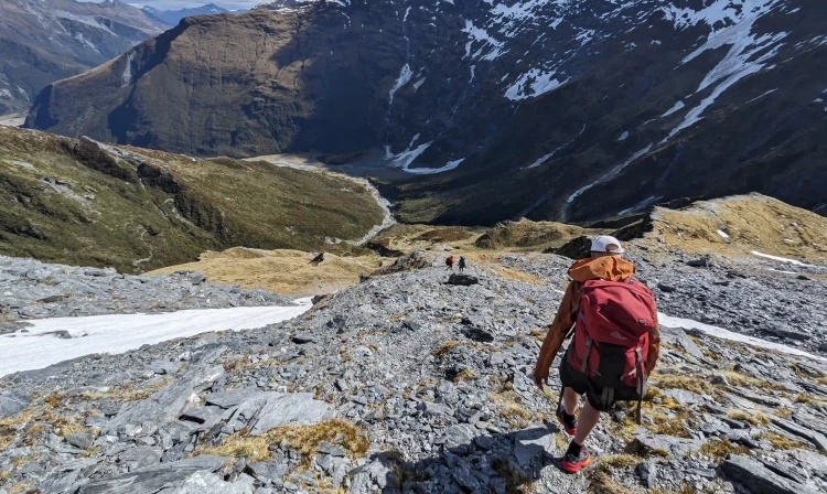
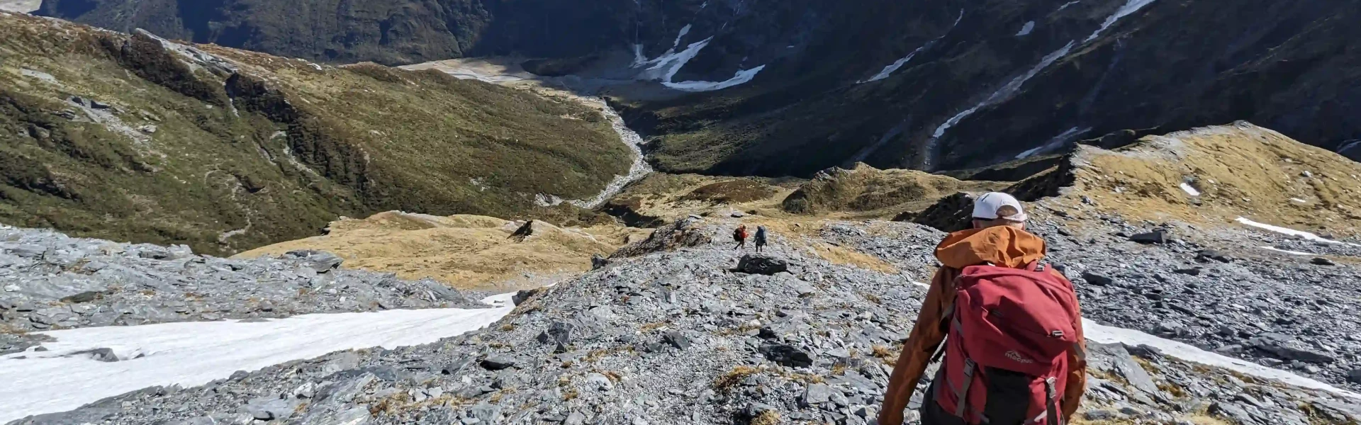
Follow the track behind the hut and climb, before sidling around above the gorge to the open flats of the south branch. A major slip in the gorge can be difficult to negotiate - take extreme care crossing this section. Follow the flats until you reach the waterfall face 3 to 4 hours from the hut. Waterfall Face is very steep and exposed, with significant fall hazard; snow grass is slippery even when dry. It is extremely dangerous when wet, windy or under snow and should not be attempted if any of these conditions exist. Take care, hazards exist on this route in all conditions. The route starts on the western side of the face, well to the right of the falls. Go up a snow grass fan to the ledges above and to the right. Do this until you reach a narrow sloping ledge and follow it back across to the left to reach the ridge about 150 m above the waterfall. Follow the valley through the alpine herb fields for about an hour, to reach Rabbit Pass (1430 metres), to follow the obvious shelf east, and climb towards Mt Lois for about 30 minutes until a narrow rockslide leading down through the bluffs. The first 30 m of this slide is steep, and dangerous, especially if wet. Beware of falling rock until well clear of the slide and follow the snow grass slopes to the valley floor. It’s an easy 1 to 2 hours to Ruth Flat.
The track down Bledisloe Gorge starts on the true left, at the bottom of the bush spur, about 20 minutes from Ruth Flat. It climbs to the bushline, sidles through snow grass, and re-enters the bush just before Hester Pinney Creek. Here it descends to the river and Junction Flat, 4 - 5 hours from Ruth Flat. Cross the two 3-wire bridges to the track on the true right bank of the East Matukituki River down to the Glacier Burn (2 hours). From here follow the flats to the West Matukituki River, ford the river to Cameron Flat or, if the river is too high to cross safely, use the bridge an hour upstream.
Significant hazards These exist all year round on this route and on some sections people choose to use mountaineering techniques: There are river and stream crossings that become hazardous in heavy rain or snowmelt. The Waterfall Face is very steep and exposed, with significant fall hazard; snow grass is slippery even when dry. It is extremely dangerous when wet, windy or under snow and should not be attempted if any of these conditions exist. Additionally, this route is not recommended in winter and spring, as this area has terrain that can produce avalanches that cross the track, usually from May into November. Don't hesitate to turn back if conditions are unfavourable, you have doubts about your ability or you are concerned for your safety. Weather data The Aspiring Biodiversity Trust draws real time weather data from its remote predator trap monitoring systems located in the Upper Wilkin and Siberia Valleys. They've kindly made this publicly available to help you see what the temperatures have been like over the past 28 days. Otago Regional Council provides publicly available rainfall data for Makarora and river level data on the Wilkin River at Kerin Forks . Sustained or heavy rainfall will result in the river levels rising, which generally makes them dangerous to cross for a day or two after the rain ceases.
We encourage you to continue gaining the skills and knowledge required for a safe trip. The NZ Mountain Safety Council has lots of free resources and information you can use. These can be accessed via www.mountainsafety.org.nz . We recommend trying these online learning tools: Trip Planning Tramping / field Skills Basic Navigation River Safety Additionally, check out the range of helpful videos available from the NZ Mountain Safety Council YouTube channel .
The weather can change rapidly in New Zealand. Hypothermia is a real risk even in summer. Mount Aspiring National Park frequently experiences very heavy rain from the west. Strong winds from the northwest are also prevalent when rain is expected. Whiteout conditions caused by snow or low cloud may also be present. Be wary of southerly wind changes which can bring rapidly deteriorating conditions. Be prepared by having warm, windproof and waterproof clothing and good quality tramping boots.
No dogs.
Track information, access and weather can change. Confirm current alerts and land-manager information close to departure, tell someone your plans, and carry equipment appropriate for the route and conditions.