9 October 2026
Cloud about the terrain lifting in the morning, then returning in the evening. A few afternoon and evening showers.
Loading outdoor place details…
Arthur's Pass National Park
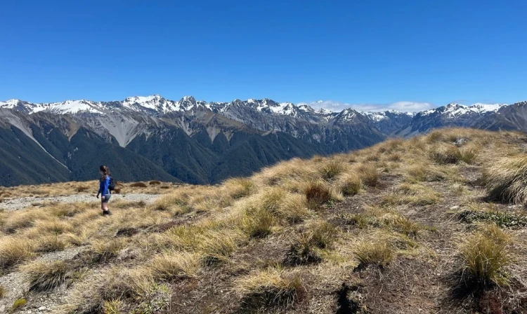
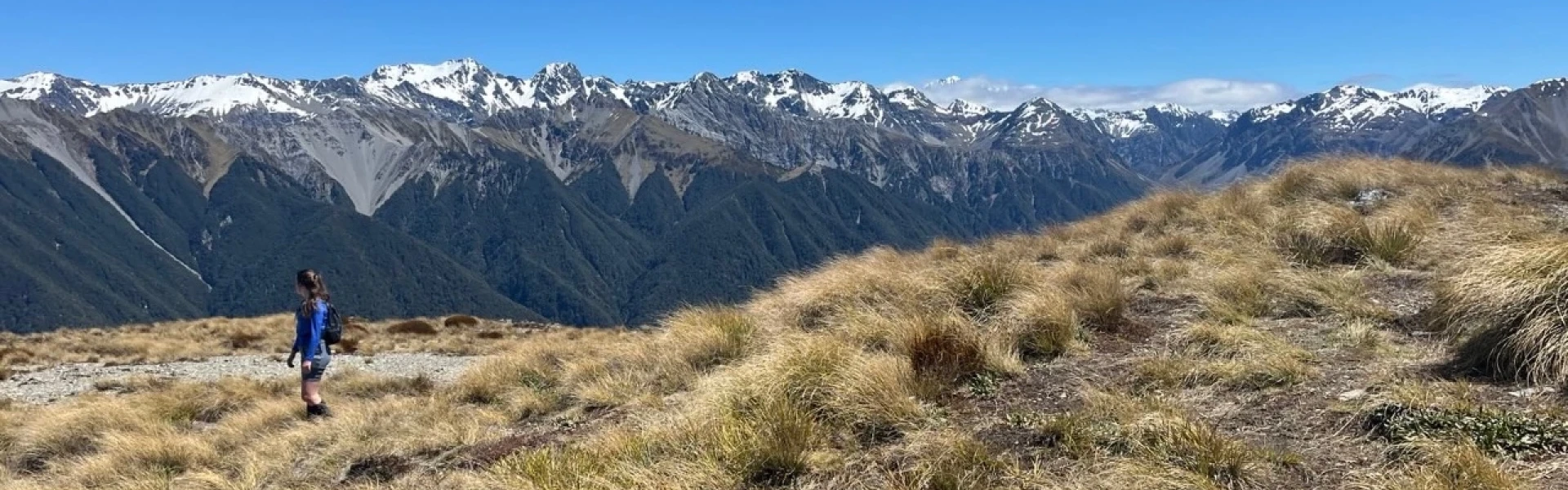
A steep climb on Woolshed Hill, with excellent views over the Waimakariri and Hawdon Valleys.
Distance
7.8 km
Walking time
3.5 hrs
Difficulty
Advanced
Dogs
Not allowed
Wheelchair access
Not marked friendly
Current status
Weather outlook
Issued 8 Oct 2026, 9:24 pm
9 October 2026
Cloud about the terrain lifting in the morning, then returning in the evening. A few afternoon and evening showers.
10 October 2026
Mostly cloudy, with showers developing around midday, possibly heavy. Snow to 2200 metres.
11 October 2026
A few showers.
12 October 2026
Fine.
13 October 2026
Mostly cloudy with isolated showers.
Regional guidance only; elevation and terrain can produce different conditions.
Explore the area
Explore the track route and surrounding area before you set out.
The Woolshed Hill Track begins at Hawdon Shelter Campsite. From the shelter, take the link track on the right-hand side, following the orange markers for 500 meters along the terrace to Kidson Lodge. Cross the clearing, staying left, and at the far side, you'll see a white pole with a DOC marker. From here, head left to begin the ascent. The track starts with a steep climb, but after about 100 meters, the gradient eases slightly as it weaves through trees, steadily climbing the hill. Around 1 km into the journey, you'll cross a small creek, but it’s shallow enough to avoid getting your feet wet. The climb continues steadily, with occasional short breaks along the way. At about 1000 m, the terrain becomes more undulating. Shortly after, the track emerges from the bush and opens up to stunning views. As you continue, you'll see great views of Mt Valiant. The track ends here, with sporadic trail markers guiding you to the summit, and occasional rock cairns marking the route. Stay on the shingle and follow the bushline until you reach an unmarked tarn south of Pt1296. From there, an obvious trail leads through the scrub. The journey continues with cairns marking the way. Cross over Pt1292, staying to the right and hugging the bushline. The ridge ahead may seem daunting, but it’s wider than it looks from below, and by staying close to the bushline, it’s more manageable than expected, even for those uncomfortable with heights. There are a few rocky outcrops along the way, but they are easily navigable. Once off the shingle, a final push up a tussock-covered hill leads you to the summit, where you'll be rewarded with breathtaking 360-degree views. Follow the trail along the tree line, and when you reach a cluster of five distinct bushes at the last of the trees, aim for them. From there, it’s just a few more metres to the summit of Woolshed Hill. From the top, enjoy panoramic views of the Waimakariri River, Lake Pearson, and a host of surrounding peaks stretching into the distance.
The track gains a lot of height in a short distance, it is best suited to people with good fitness. It is uneven and you will need to scramble up/down tree roots, which will be extremely slippery when wet. This is an alpine area and extreme, fast-changing weather is common. During winter there is often snow and ice. In summer it can get very hot and there are often strong winds above the bush line.
The track starts at Hawdon Shelter Campsite. Use this location in Google Maps to find your way there.
We encourage you to continue gaining the skills and knowledge required for a safe trip. The NZ Mountain Safety Council has lots of free resources and information you can use. These can be accessed via www.mountainsafety.org.nz . Level up in your outdoor knowledge with these interactive online learning tools: Trip Planning Tramping / field Skills Basic Navigation River Safety Additionally, check out the range of helpful videos available from the NZ Mountain Safety Council YouTube channel .
No dogs.
Track information, access and weather can change. Confirm current alerts and land-manager information close to departure, tell someone your plans, and carry equipment appropriate for the route and conditions.