11 October 2026
Showers about the Divide, clearing in the evening, otherwise fine.
Loading outdoor place details…
Ahuriri Conservation Park
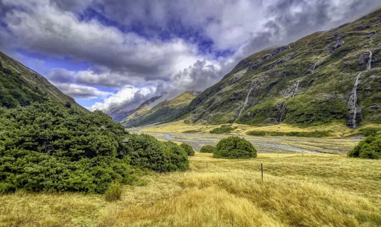
This track follows the Ahuriri River. Three huts on route provide several options.
Distance
14.5 km
Walking time
6 hr one way
Difficulty
Advanced
Dogs
Allowed — check local rules
Wheelchair access
Not marked friendly
Current status
Weather outlook
Issued 10 Oct 2026, 9:23 pm
11 October 2026
Showers about the Divide, clearing in the evening, otherwise fine.
12 October 2026
Fine.
13 October 2026
Partly cloudy with isolated showers.
14 October 2026
Rain, with heavy falls.
15 October 2026
Rain developing, with snow to 600 metres.
Regional guidance only; elevation and terrain can produce different conditions.
Explore the area
Explore the track route and surrounding area before you set out.
Birchwood Road end to Shamrock Hut Time : 2 hr one way Distance: 4 km The track to Shamrock Hut is generally well-formed but you will need to cross Canyon Creek on the way. There may be the odd washed-out ford to negotiate. Shamrock Hut to Hagens Hut Time: 2 hr one way Distance: 6 km After Shamrock Hut the track descends towards Ahuriri River. To avoid crossing the river, hug the true right riverbank and make your own way to the hut - there is no formed track. Otherwise, cross the river and use the a well-formed track on the true left of the river. You will need to cross the Ahuriri River again to reach Hagens Hut . Hagens Hut to Top Hut Time : 2 hr one way Distance: 4.5 km The track is a bit rougher to Top Hut . In good conditions trampers can cross the range into South Huxley Valley or South Temple Valley.
Birchwood Road end to Shamrock Hut Track category: Intermediate/Grade 3 Time : 1 - 2 hr Distance : 4 km You may need to cross Canyon Creek on foot if high river flow. From there the riding is good until you get to a washed out creek bed. You will need to lower your bike down a small bank to cross the often dry creekbed. It is easy riding again from the creekbed to Shamrock Hut. Shamrock Hut to Hagens Hut Track category: Intermediate/Grade 3 Time: 1 - 2 hr Distance: 6 km From Shamrock Hut the track descends gently to Ahuriri River. Look out for marker poles on the other side of the river (true left). You need to cross the river and pick up the good track that is marked on the river flats. You then need to cross the river once again to reach Hagens Hut. Some mountain bikers do carry on to Top Hut (2 hr ride) but it requires a bit of bike pushing as there is no well-formed track. This is a shared-use track. Follow the mountain bikers code: respect others, respect the rules, respect the track.
Dogs: dogs must be kept in your vehicle until you reach the conservation park boundary. Check the flow of the Ahuriri River if you intend to cross before you go. It is safe to cross when the river flow is 18 cubic metres per second (cumecs) or less. If you plan to cross unbridged rivers, know how to cross safely and be prepared for if you cannot cross. Do not cross if the river is flooded, you cannot find safe entry and exit points or are unsure it’s safe. Turn back or wait for the river to drop. If in doubt, stay out.
Access to the park is via Birchwood Road which leaves SH 8 about 17 km west of Omarama township. Birchwood Road runs for 21 km up to the park boundary, however Waitaki District Council only maintain it as far as Ben Avon ponds. From there a high clearance 4WD vehicle is required 16 km up to the road end. Use this location on Google Maps to help find your way there.
We encourage you to continue gaining the skills and knowledge required for a safe trip. The NZ Mountain Safety Council has lots of free resources and information you can use. These can be accessed via www.mountainsafety.org.nz . We recommend trying these online learning tools: Trip Planning Tramping / field Skills Basic Navigation River Safety Additionally, check out the range of helpful videos available from the NZ Mountain Safety Council YouTube channel
Dogs allowed. Keep dog under control at all times.
Track information, access and weather can change. Confirm current alerts and land-manager information close to departure, tell someone your plans, and carry equipment appropriate for the route and conditions.