10 October 2026
Showers, with snow to 2000 metres.
Loading outdoor place details…
Aoraki/Mount Cook National Park
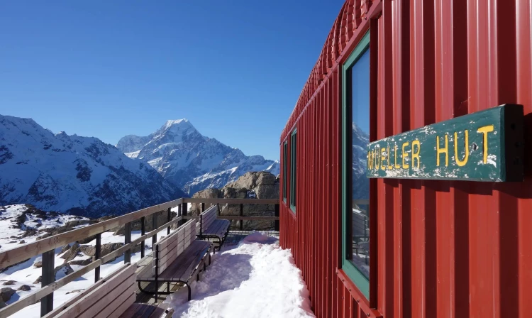
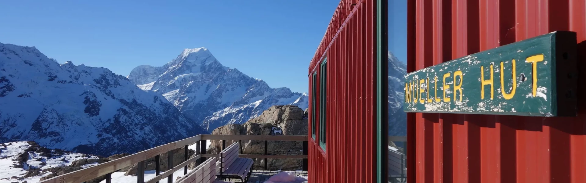
This route provides a 360-degree panorama encompassing glaciers, ice cliffs, vertical rock faces and New Zealand’s highest peaks. Mountaineering experience, including using an ice axe, crampons and avalanche rescue equipment, is needed in winter, and sometimes in spring and autumn.
Distance
10 km
Walking time
4 hours up + 3 hours down
Difficulty
Advanced
Dogs
Not allowed
Wheelchair access
Not marked friendly
Current status
Weather outlook
Issued 10 Oct 2026, 9:23 pm
10 October 2026
Showers, with snow to 2000 metres.
11 October 2026
Showers, becoming few and far between in the afternoon, then clearing to fine in the evening.
12 October 2026
Fine.
13 October 2026
Showers developing, some heavy, with snow to 2500 metres.
14 October 2026
Rain, with heavy falls. Snow to 2400 metres.
Regional guidance only; elevation and terrain can produce different conditions.
Explore the area
Explore the track route and surrounding area before you set out.
Time required : 1 – 2 days (4 hours up, 3 hours down) Start on the Kea Point Track either outside the Aoraki/ Mount Cook National Park Visitor Centre or at White Horse Hill car park, at the end of the Hooker Valley Road. Follow the Kea Point Track to the Sealy Tarns turnoff. The Sealy Tarns Track begins gently until you reach the foot of the Mueller Range. The track then zigzags steeply up to Sealy Tarns. A climb to this spot will reward the walker with spectacular views of the Hooker Valley and the peaks in the area, including Aoraki/Mt Cook on a good day. A tarn is the name given to a small mountain lake or pond. From Sealy Tarns follow the orange markers (every 200 metres) through the tussock. This is not a maintained track but an alpine route. Parts of the route are quite rocky. It zig-zags through alpine scrub, herb fields and tussocks to a large rock field. From here the route ascends a loose gravel slope (scree) of about 50 metres, to the skyline ridge. At certain times of the year this becomes a steep snow slope and in winter avalanche danger is frequently present.
In winter conditions (which is possible between March and November), the route requires good level of mountaineering experience, including walking on ice and snow with ice axe and crampons, route finding and using an avalanche transceiver, probe and shovel. Register your intentions at the Aoraki/Mount Cook National Park Visitor Centre on the day you start. This is part of a formal intentions process that operates in Aoraki/Mount Cook National Park for your safety – failure to sign in or sign out may result in a formal search being initiated.
From mid-November to 30 April, bookings are required for Mueller Hut .
The track starts by first following the Kea Point Track either outside the Aoraki/ Mount Cook National Park Visitor Centre or at White Horse Hill car park . Use these links to Google Maps to find your way there.
We encourage you to continue gaining the skills and knowledge required for a safe trip. The NZ Mountain Safety Council has lots of free resources and information you can use. These can be accessed via www.mountainsafety.org.nz . We recommend trying these online learning tools: Trip Planning Tramping / field Skills Basic Navigation River Safety Additionally, check out the range of helpful videos available from the NZ Mountain Safety Council YouTube channel .
Open to very heavy rain from the west which can fall as snow at any time of year. Strong winds from the northwest are also prevalent. Be wary of southerly wind changes which can bring rapidly deteriorating conditions.
No dogs.
Track information, access and weather can change. Confirm current alerts and land-manager information close to departure, tell someone your plans, and carry equipment appropriate for the route and conditions.