11 October 2026
Showers, becoming few and far between in the afternoon, then clearing to fine in the evening.
Loading outdoor place details…
Nelson Lakes National Park
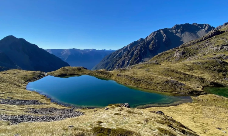
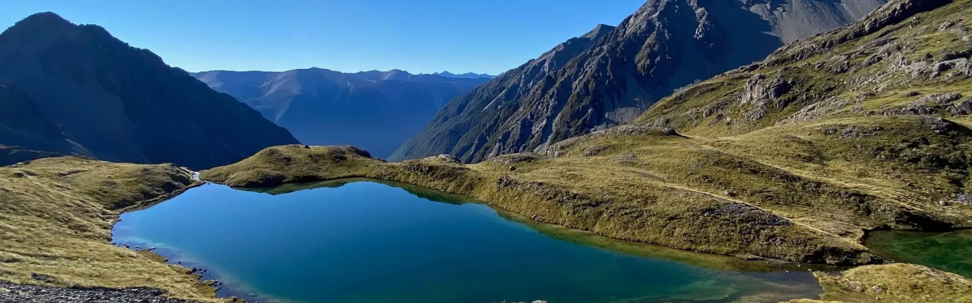
Walking along the western shoreline of Lake Rotoiti to Coldwater Hut, before ascending Cascade Track to Angelus Hut and returning via Robert Ridge, this circuit has an array of fabulous views.
Distance
29 km
Walking time
2-3 days
Difficulty
Advanced, Expert
Dogs
Not allowed
Wheelchair access
Not marked friendly
Current status
Weather outlook
Issued 11 Oct 2026, 7:33 am
11 October 2026
Showers, becoming few and far between in the afternoon, then clearing to fine in the evening.
12 October 2026
Fine, but becoming overcast in the evening.
13 October 2026
Showers developing in the morning.
14 October 2026
Showers turning to heavy rain. Snow lowering to 1700 metres.
15 October 2026
Showers.
Regional guidance only; elevation and terrain can produce different conditions.
Explore the area
Explore the track route and surrounding area before you set out.
From Mt Robert carpark, at least one member of your group will need to start by walking 1.5km back down the road to the start of Lakeside Track. From there, you’ll gradually descend down to the lake and then sidle the lake to Whisky Falls. This 40-metre waterfall is surrounded by thick walls of moss and ferns. The track then continues south along the shoreline to Coldwater Hut. From Coldwater Hut to the Cascade Track junction you’ll travel up the Travers Valley with great views of Travers River and the mountains on either side. This takes around 2 hours. From the Cascade Track junction it’s a steady 4-hour climb alongside the Hukere Stream. The track ends at the bush edge and becomes a steep poled route to Angelus Hut. Snow and ice can create hazards requiring suitable experience and equipment to safely negotiate this route. From May to November, the bridge over the Hukere Stream is removed due to avalanche risk. After rain and during snow melt, crossing the river can be difficult – take extreme care. From Angelus Hut, have a look at the weather conditions and the latest forecast and decide whether the day is suitable for Robert Ridge. Alternatives include heading back via Speargrass Hut or staying an extra night at Angelus Hut in stormy conditions. The route to Robert Ridge begins with a 30-minute climb up to the junction with the Speargrass Creek Route. Turning right will keep you on Robert Ridge. From here the route has some sharp and rocky sections. Take care here in cold conditions as accidents frequently occur. It also takes most walkers longer than expected. Eventually you’ll reach Julius Summit (1794 m) which marks the end of this tricky section. Thereafter the track follows a wide ridge which you’ll travel along quickly down to Relax Shelter and the top of Pinchgut Track, and soon after, Mt Robert carpark. There is no water along the route so remember to carry your own. Be prepared for snow and ice during winter and spring. Robert Ridge is very exposed and is subject to high winds and poor visibility at any time of year.
From November to April There are many wasps in the area, especially from January to April. Consider carrying an antihistamine product and, if you are allergic to stings, ensure you bring your medication. Sandflies can also be a nuisance, especially near the lake, tarns and creeks. Cover up and use insect repellent. From May to October Additional hazards are present on all routes including snow and ice, avalanche risk and sub-zero temperatures. Hut facilities are reduced – water and firewood may not be available.
Coldwater Hut (opens in browser) is a serviced hut with 12 bunks, heating, a rain collection tank and long drop toilet. There is also space for camping outside the hut. Bookings are not required – first come, first served. Angelus Hut (opens in browser) is a serviced hut with 28 bunks, heating, double glazing, a rain collection tank and long drop toilet. There is also space for camping outside the hut. Bookings are required all year. For those starting or ending in St Arnaud, staying the night at Lakehead Hut is an option. Lakehead Hut (opens in browser) is a serviced hut with 28 bunks, heating, a rain collection tank and long drop toilet. There is also space for camping outside the hut. Bookings are not required – first come, first served. If completing the circuit via Lakehead Hut the track crosses the unbridged Travers River. If the Travers River is in flood a swingbridge is located 1 hr 30 min upstream.
Most people start and finish at Mount Robert carpark. From St Arnaud, follow SH 63 west for 2 km, then turn into Mount Robert Road. Follow this for 4.9 km to the car park at the end. Use this location in Google Maps to find your way there. Alternative options include starting from St Arnaud and taking Lake Rotoiti Circuit around to Lakehead Hut or taking a water taxi from St Arnaud to Coldwater Hut.
We encourage you to continue gaining the skills and knowledge required for a safe trip. The NZ Mountain Safety Council has lots of free resources and information you can use. These can be accessed via www.mountainsafety.org.nz . We recommend trying these online learning tools: Trip Planning Tramping / field Skills Basic Navigation River Safety Additionally, check out the range of helpful videos available from the NZ Mountain Safety Council YouTube channel
No dogs.
Track information, access and weather can change. Confirm current alerts and land-manager information close to departure, tell someone your plans, and carry equipment appropriate for the route and conditions.