11 October 2026
Showers, becoming few and far between in the afternoon, then clearing to fine in the evening.
Loading outdoor place details…
Aoraki/Mount Cook National Park
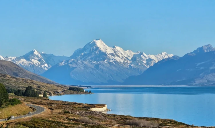
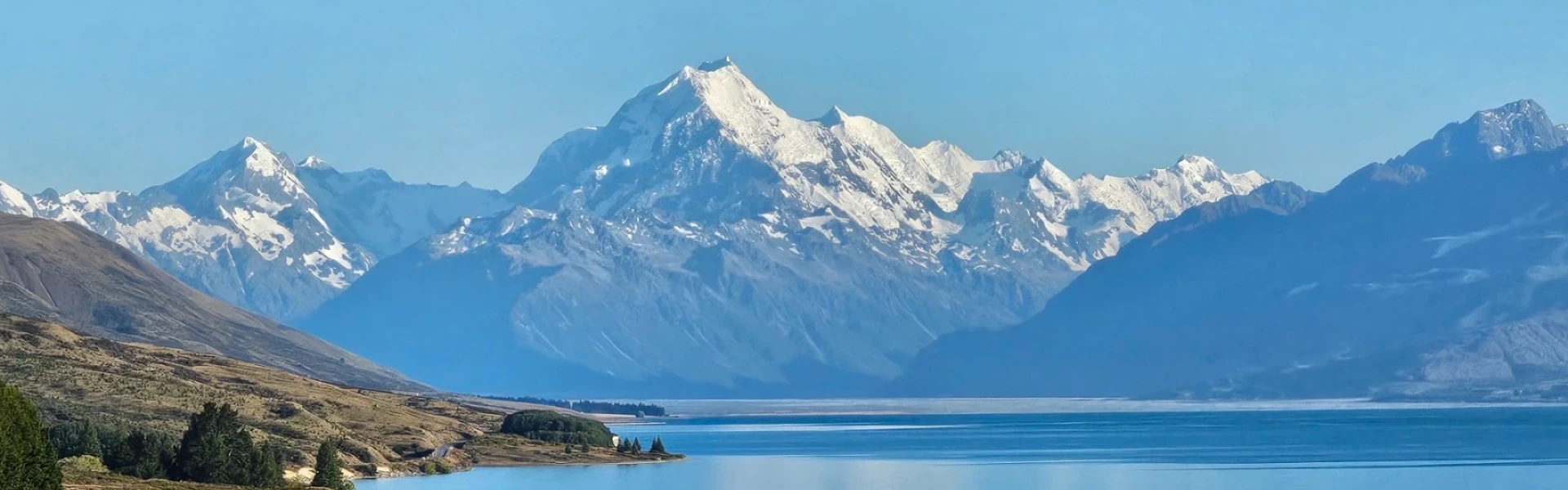
Walk through the Hooker Valley to the foot of Aoraki/Mount Cook on one of New Zealand’s best day walks.
Distance
10 km
Walking time
3 hr return
Difficulty
Easy
Dogs
Not allowed
Wheelchair access
Not marked friendly
Current status
Weather outlook
Issued 11 Oct 2026, 7:33 am
11 October 2026
Showers, becoming few and far between in the afternoon, then clearing to fine in the evening.
12 October 2026
Cloudy periods about and west of the Divide, Fine to the east.
13 October 2026
Showers turning to heavy rain in the afternoon. Snow lowering to 2300 metres in the morning.
14 October 2026
Rain, with heavy falls. Snow lowering to 1900 metres.
15 October 2026
Showers, with snow to 1200 metres.
Regional guidance only; elevation and terrain can produce different conditions.
Explore the area
Explore the track route and surrounding area before you set out.
Time required: 3 hours return The track leads through the sacred Tōpuni area of the Hooker Valley, which has special significance and values to Ngāi Tahu iwi, towards Aoraki/Mount Cook. From the first of three swing bridges along the way, enjoy the views over the Mueller Lake and listen for the rumbling of avalanches from the distant Mount Sefton. Try to spot them before they crash into the Mueller Glacier below. After crossing the Hooker River, the track goes between old moraine ridges and humps. From the second swing bridge, the vegetation changes to more open tussock and a wider valley floor. A third swing bridge leads to the East Hooker and the source of the Hooker River. The track ends with an amazing view over the iceberg-speckled Hooker Lake and up to majestic Aoraki/Mount Cook and the Southern Alps/Kā Tiritiri o te Moana. Return on the same track, enjoying more views down valley and across to the Sealy Range. Ensure you take your mobile phone as reception is possible for most of the track.
The track starts from White Horse Hill Campsite north of Aoraki Mount Cook Village. Use this location in Google Maps to find your way there.
We encourage you to continue gaining the skills and knowledge required for a safe trip. The NZ Mountain Safety Council has lots of free resources and information you can use. These can be accessed via www.mountainsafety.org.nz . We recommend trying these online learning tools: Trip Planning Tramping / field Skills Basic Navigation River Safety Additionally, check out the range of helpful videos available from the NZ Mountain Safety Council YouTube channel .
Open to very heavy rain from the west which can fall as snow in the colder months. Strong winds from the northwest are also prevalent. Be wary of southerly wind changes which can bring rapidly deteriorating conditions. The track is designed to avoid the risk of avalanche – keep to the tracks.
No dogs.
Track information, access and weather can change. Confirm current alerts and land-manager information close to departure, tell someone your plans, and carry equipment appropriate for the route and conditions.