09 October 2026
Mainly fine but the chance of an inland afternoon or evening shower. Areas of low cloud or fog possible at night. Light winds but easterlies about the coast for a time this afternoon.
Loading outdoor place details…
Milford Road/Milford Sound area
This difficult tramping track leads from the Milford Road up the Boyd Creek onto the tops of the Countess Range, in the Snowdon Forest area.
Distance
7.15 km
Walking time
4 hours one way
Difficulty
Advanced
Dogs
On-lead only
Wheelchair access
Not marked friendly
Current status
No active alerts found. Conditions can still change, so check again before leaving.
Weather outlook
Issued 9 Oct 2026, 4:49 pm
09 October 2026
Mainly fine but the chance of an inland afternoon or evening shower. Areas of low cloud or fog possible at night. Light winds but easterlies about the coast for a time this afternoon.
10 October 2026
Areas of low cloud or fog in the morning and again at night, otherwise partly cloudy with isolated afternoon and evening showers. Easterlies about the coast for a time in the afternoon.
11 October 2026
Fine, but becoming mostly cloudy with isolated showers in the evening. Northerlies, turning westerly in the afternoon.
12 October 2026
Fine. Northwesterlies developing in the morning.
13 October 2026
Showers developing in the morning. Northwesterlies, dying out in the evening.
Regional guidance only; elevation and terrain can produce different conditions.
Explore the area
Explore the track route and surrounding area before you set out.
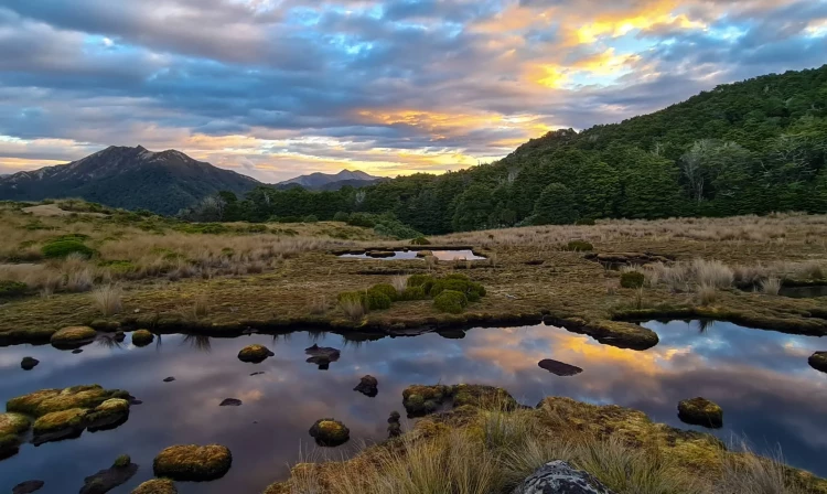
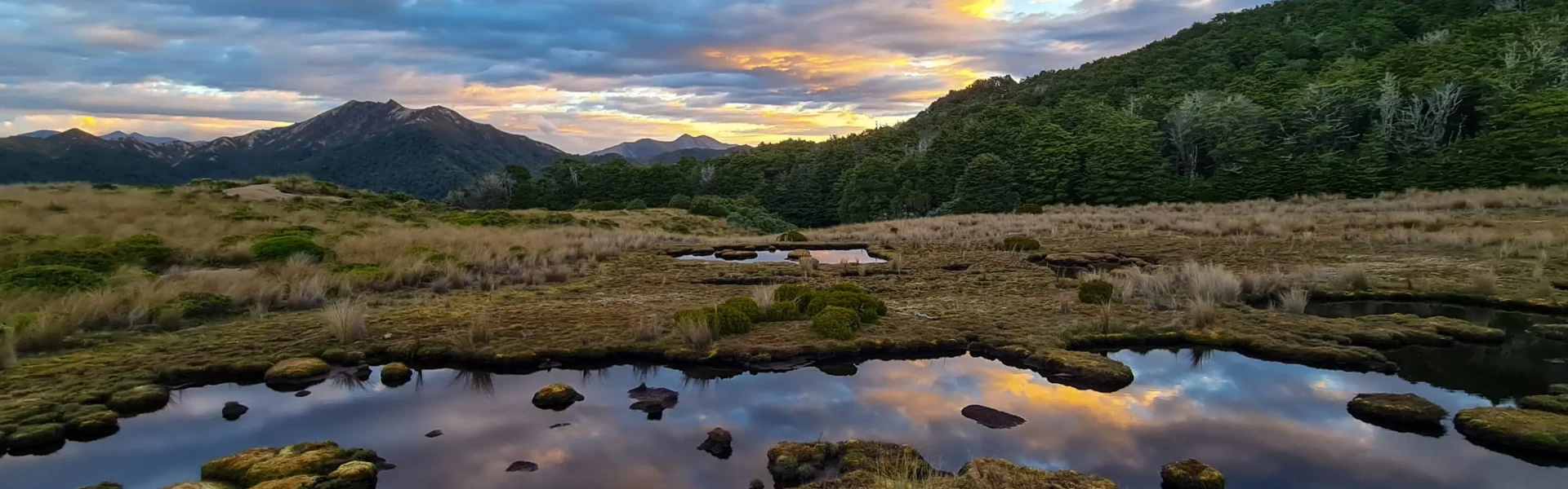
Time required: Allow between 2.5-3.5 hours each way with a distance of 6.5km. Return via the same track. From the car park the track is well signposted with markers and waratahs. It initially starts out on a 4WD track and there are clear signs where to turn off for Boyd Creek Tops. From here the track starts to make its way up through beech forest. After a steady climb the track flattens out around the 760 contour and goes through a clearing before steepening up again to head onto the tops. There are a few small creeks to cross on the way and the track can be boggy in places. There is a nice flat camping spot in the forest just as the track comes out onto the tops. From here if you have suitable experience there is the chance to explore the tops of the Countess Range, there are a number of tarns up on the tops and from the highpoint 500m south of .1171 there are nice views back over Lake Te Anau.
Be aware - t he weather around Fiordland can change quickly so be prepared and if tramping on the tops you will need experience in navigation and survival skills. A menities There are no toilet facilities at the carpark or on the track. There are a few streams where you can refill water bottles on the way up. Dogs are allowed on a lead. For hunting you can obtain hunting permits online from the Department of Conservation.
The Boyd Creek Track is about 44km from Te Anau. From Te Anau take the Milford Road, head about 12km past Te Anau Downs and look out for the Boyd Creek sign. The Boyd Creek Road is on the right, there is a gate that you head through and the car park is about 200m down this road. Use this location in Google Maps to find your way there.
We encourage you to continue gaining the skills and knowledge required for a safe trip. The NZ Mountain Safety Council has lots of free resources and information you can use. These can be accessed via www.mountainsafety.org.nz . We recommend trying these online learning tools: Trip Planning Tramping / field Skills Basic Navigation River Safety Additionally, check out the range of helpful videos available from the NZ Mountain Safety Council YouTube channel
Dogs on a leash only.
Track information, access and weather can change. Confirm current alerts and land-manager information close to departure, tell someone your plans, and carry equipment appropriate for the route and conditions.